Back to the librarykm 18 · Jul 2025 · © mfa / Mapillary, CC BY-SA km 30 · Apr 2025 · © soulcover / Mapillary, CC BY-SA km 56 · May 2026 · © msdess / Mapillary, CC BY-SA km 75 · Aug 2026 · © stefanro74 / Mapillary, CC BY-SA km 0–3km 5–7km 22–24km 30–31km 71–74
Road bikeRouteCasterRound trip
Rondje Schloss Hohenaltheim en Schloss Baldern
Distance
76 km
Ascent
867 m
Highest point
638 m
100% paved
Start from your location
Ride there from home: we find the shortest way to the loop and start the loop from there.
The ride
Roll out of Neresheim and the climbing starts early, up past the Ruine Flochberg nature reserve. Next come Schloss Baldern, the Blasienberg reserve, and the Eger and Ohmetgraben rivers before Schloß Reimlingen and Schloss Hohenaltheim. With 76.2 km, 867 m of climbing and a fully paved surface, it all loops back to where you began.
Along the way
Climbs
Climb 1Cat. 4
2.7 km at 3.8% · max 11.6%
Climb 2Hill
1.5 km at 3.6% · max 8.5%
Climb 3Cat. 4
2.4 km at 3.7% · max 20.1%
Climb 4Hill
1.1 km at 4.1% · max 6.9%
Climb 5Cat. 4
2.1 km at 3.9% · max 12.5%
Routes nearby
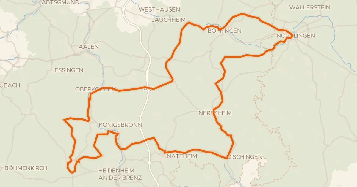
Touring75% paved
Radweg von Krater zu Krater West
130 km↑ 1,567 m5 km away
Wasserscheide Rhein/Donau
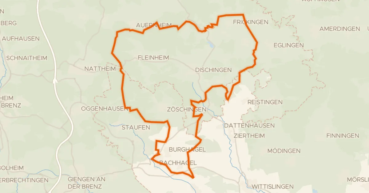
Gravel19% paved
Rondje Zwing en Dattenhauser Ried
60 km↑ 707 m8 km away
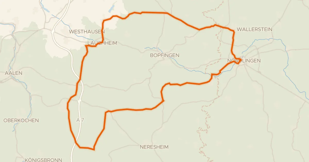
Road bike100% paved
Rondje Kapfenburg en Schloss Wallerstein
73 km↑ 790 m8 km away
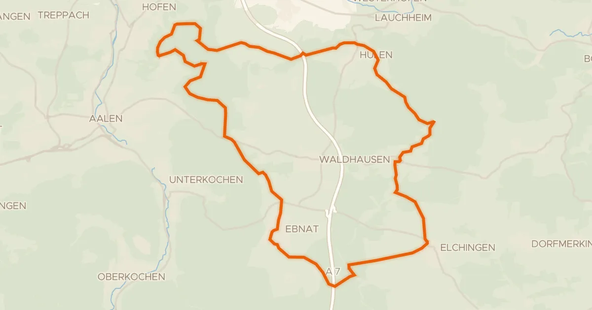
Gravel51% paved
Vom Braunenberg bis zu den Härtsfelder Trockentälern
41 km↑ 539 m13 km away
Wasserscheide Rhein/Donau · Vierwegzeiger
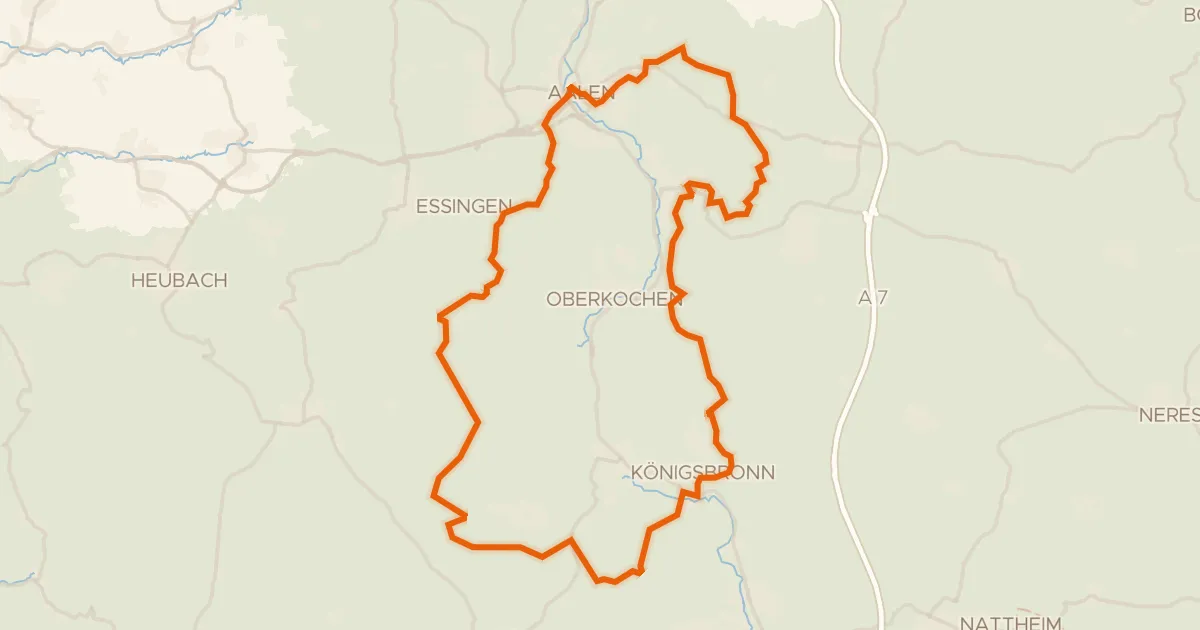
Gravel20% paved
Rondje Aalbäumle en Brenz
60 km↑ 986 m17 km away
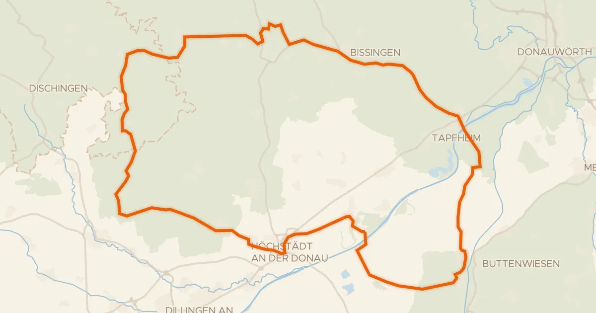
Road bike98% paved
Rondje Schloss Amerdingen en Apfelwörth
75 km↑ 464 m21 km away