Back to the librarykm 5 · Jul 2025 · © mfa / Mapillary, CC BY-SA km 62 · Apr 2025 · © soulcover / Mapillary, CC BY-SA km 9–10km 10–13km 20–21km 27–30km 60–61
Road bikeRouteCasterRound trip
Rondje Kapfenburg en Schloss Wallerstein
Distance
73 km
Ascent
790 m
Highest point
676 m
100% paved
Start from your location
Ride there from home: we find the shortest way to the loop and start the loop from there.
The ride
Roll out of Nördlingen and follow the Eger river before the route climbs toward Kapf bei Trochtelfingen, a nature reserve. Next come Dossinger Tal and Buchhalde - Neresheimer Tal, two more nature reserves, then Kapfenburg castle. Schloss Wallerstein castle follows before the road turns home. It's 72.8 km, all paved, with 790 m of climbing.
Along the way
Climbs
Climb 1Hill
1.2 km at 3.7% · max 9.5%
Climb 2Cat. 4
2.8 km at 3.8% · max 7.6%
Climb 3Hill
1.6 km at 3.2% · max 8.5%
Climb 4Cat. 4
2.4 km at 3.8% · max 8.5%
Climb 5Hill
1.4 km at 3.3% · max 6.5%
Routes nearby
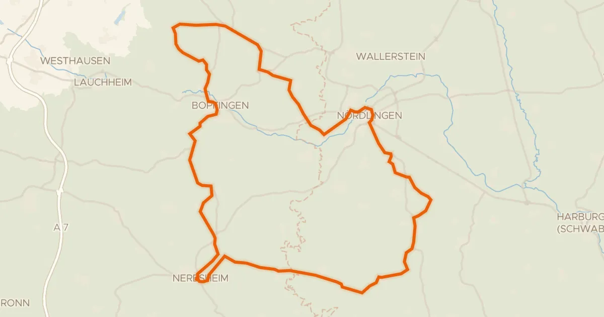
Road bike100% paved
Rondje Schloss Hohenaltheim en Schloss Baldern
76 km↑ 867 m5 km away
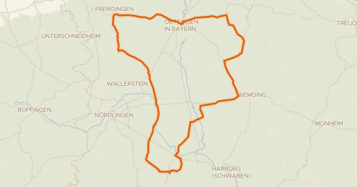
Road bike100% paved
Rondje Schloss Polsingen en Naturpark Altmühltal
73 km↑ 461 m9 km away
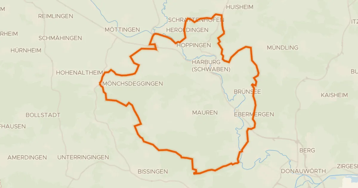
Gravel17% paved
Rondje Wörnitz en Eger
55 km↑ 744 m16 km away
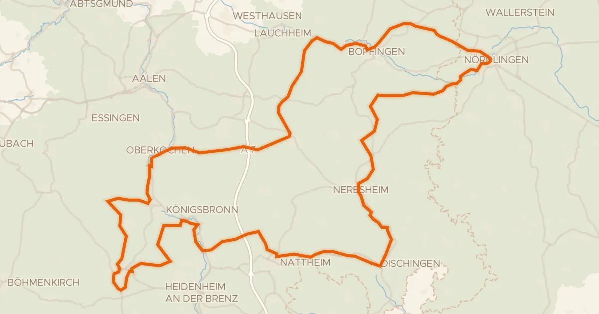
Touring75% paved
Radweg von Krater zu Krater West
130 km↑ 1,567 m18 km away
Wasserscheide Rhein/Donau
Gravel19% paved
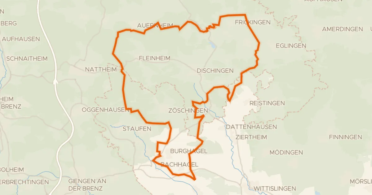
Rondje Zwing en Dattenhauser Ried
60 km↑ 707 m22 km away
Gravel51% paved
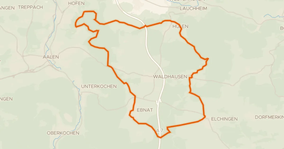
Vom Braunenberg bis zu den Härtsfelder Trockentälern
41 km↑ 539 m22 km away
Wasserscheide Rhein/Donau · Vierwegzeiger