Back to the librarykm 15–16km 17–19km 31–32
GravelRound trip
Vom Braunenberg bis zu den Härtsfelder Trockentälern
Distance
41 km
Ascent
539 m
Highest point
728 m
51% paved
Start from your location
Ride there from home: we find the shortest way to the loop and start the loop from there.
The ride
A 41.2 km ride with 539 m of climbing, and three waypoints to tick off along the route: the Wasserscheide Rhein/Donau, the Vierwegzeiger and the Wasserscheide Donau/Rhein. It's a steady mix of distance and elevation, with the watershed markers giving you something to aim for as you go. Roll it at your own pace and enjoy the day out on two wheels.
Passes
Wasserscheide Rhein/DonauVierwegzeigerWasserscheide Donau/Rhein
Climbs
Climb 1Cat. 4
1.1 km at 9.8% · max 16.5%
Climb 2Cat. 4
1.9 km at 4.4% · max 12.8%
Climb 3Hill
1.2 km at 3.2% · max 9.8%
Routes nearby
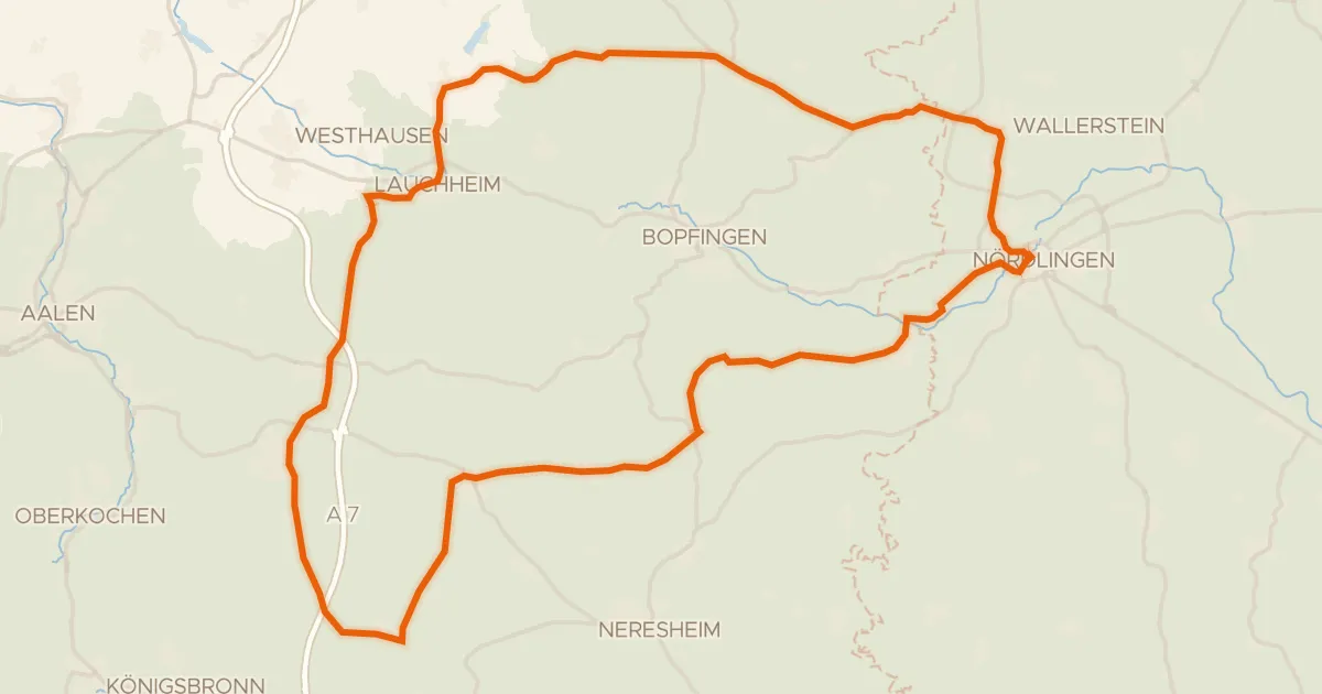
Road bike100% paved
Rondje Kapfenburg en Schloss Wallerstein
73 km↑ 790 m6 km away
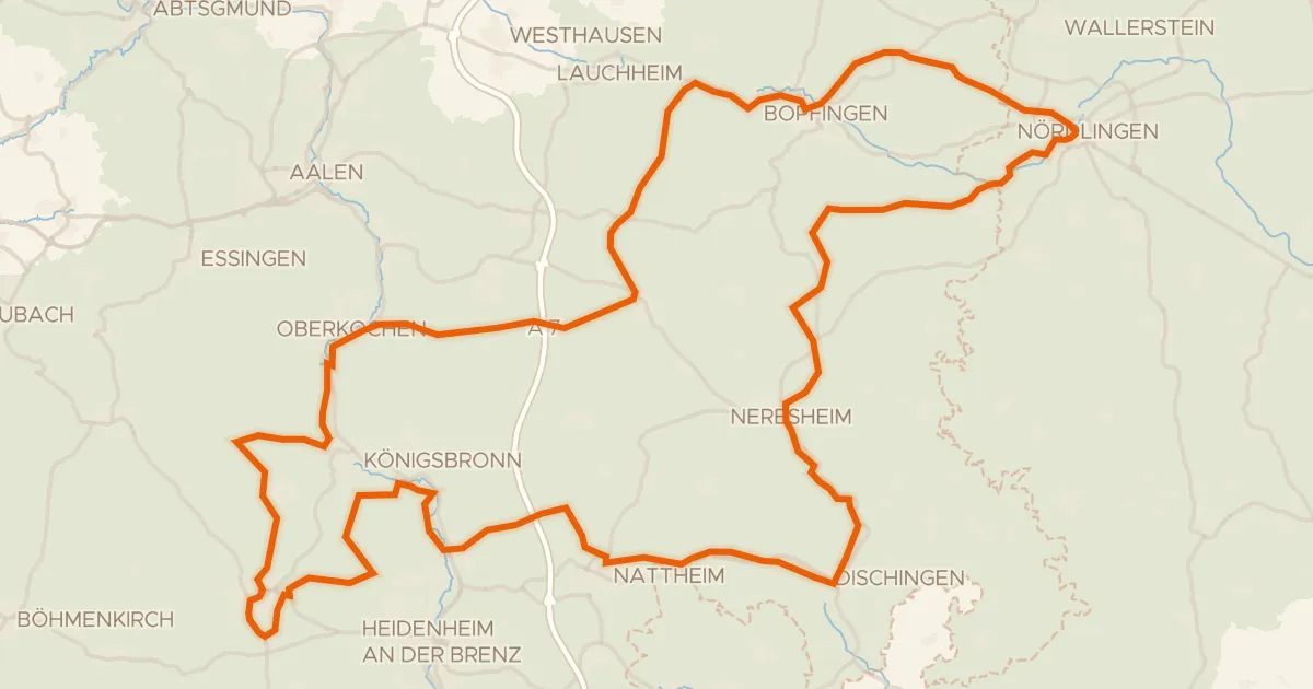
Touring75% paved
Radweg von Krater zu Krater West
130 km↑ 1,567 m7 km away
Wasserscheide Rhein/Donau
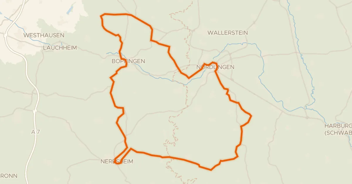
Road bike100% paved
Rondje Schloss Hohenaltheim en Schloss Baldern
76 km↑ 867 m12 km away
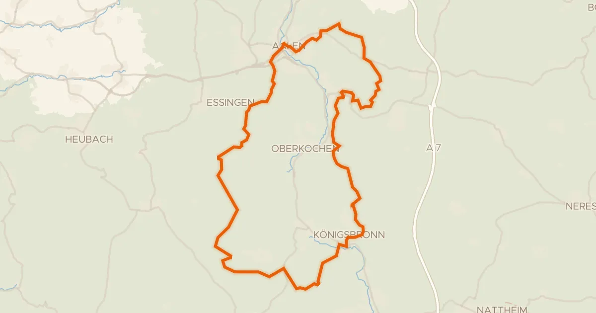
Gravel20% paved
Rondje Aalbäumle en Brenz
60 km↑ 986 m13 km away
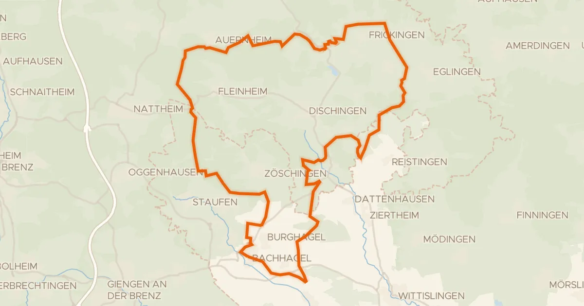
Gravel19% paved
Rondje Zwing en Dattenhauser Ried
60 km↑ 707 m19 km away
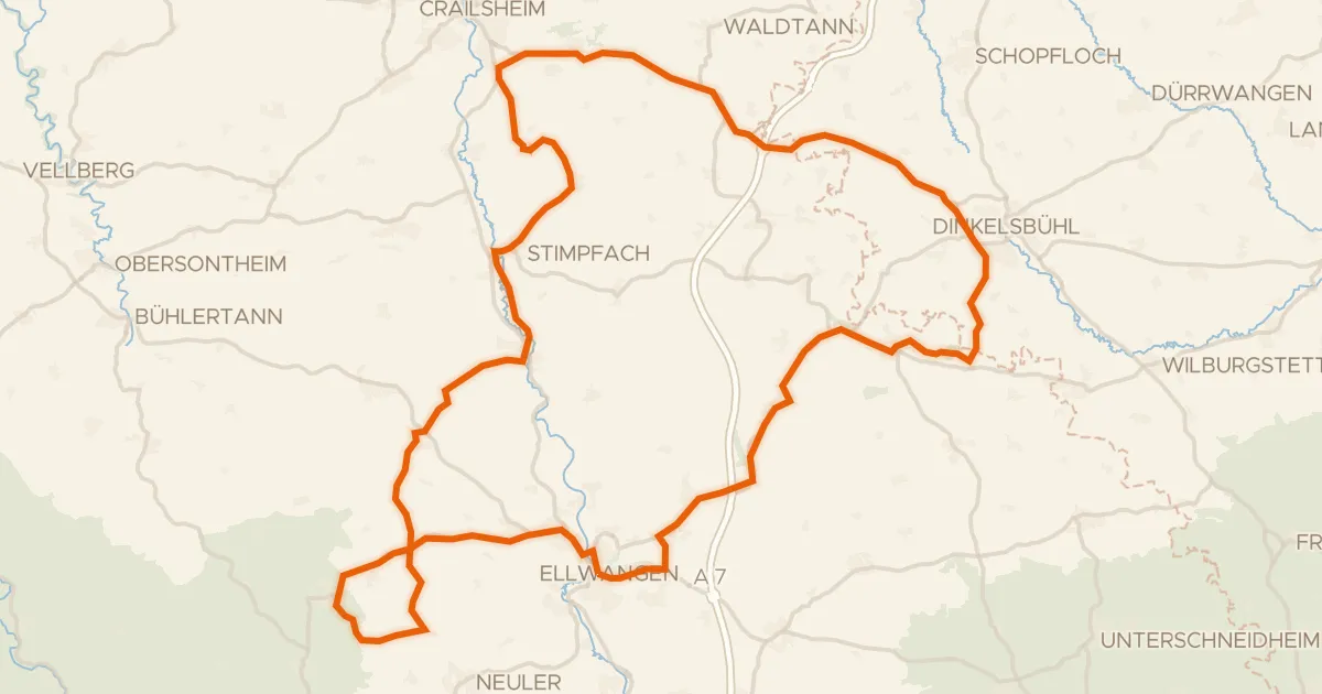
Road bike96% paved
Rondje Pfannenburg en Schloss Adelmannsfelden
92 km↑ 1,123 m23 km away