Back to the librarykm 14 · Mar 2023 · © msdess / Mapillary, CC BY-SA km 11–13km 14–16km 18–20km 21–23km 28–29km 33–36
GravelRouteCasterRound trip
Rondje Zwing en Dattenhauser Ried
Distance
60 km
Ascent
707 m
Highest point
664 m
19% paved
Start from your location
Ride there from home: we find the shortest way to the loop and start the loop from there.
The ride
Roll out of Bachhagel and let the ride unfold: past the Dattenhauser Ried nature reserve, then along the Egau river. Next up are the Steinbruchterrassen im Egautal, another nature reserve, before the Zwing reserve rounds things off. With 59.6 km and 707 m of climbing, mostly on unpaved tracks, you're back in Bachhagel before you know it.
Along the way
Climbs
Climb 1Hill
1.5 km at 4.5% · max 14.8%
Climb 2Hill
1.7 km at 3.5% · max 9.9%
Climb 3Cat. 4
1.9 km at 4.4% · max 11.5%
Climb 4Hill
1.6 km at 3.3% · max 7.5%
Climb 5Hill
0.9 km at 3.5% · max 5%
Climb 6Cat. 4
3.3 km at 3.2% · max 23.7%
Routes nearby
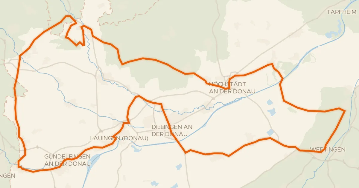
Road bike96% paved
Rondje Schloss Bächingen en Dattenhauser Ried
98 km↑ 443 m14 km away
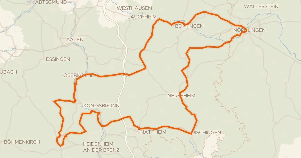
Touring75% paved
Radweg von Krater zu Krater West
130 km↑ 1,567 m16 km away
Wasserscheide Rhein/Donau
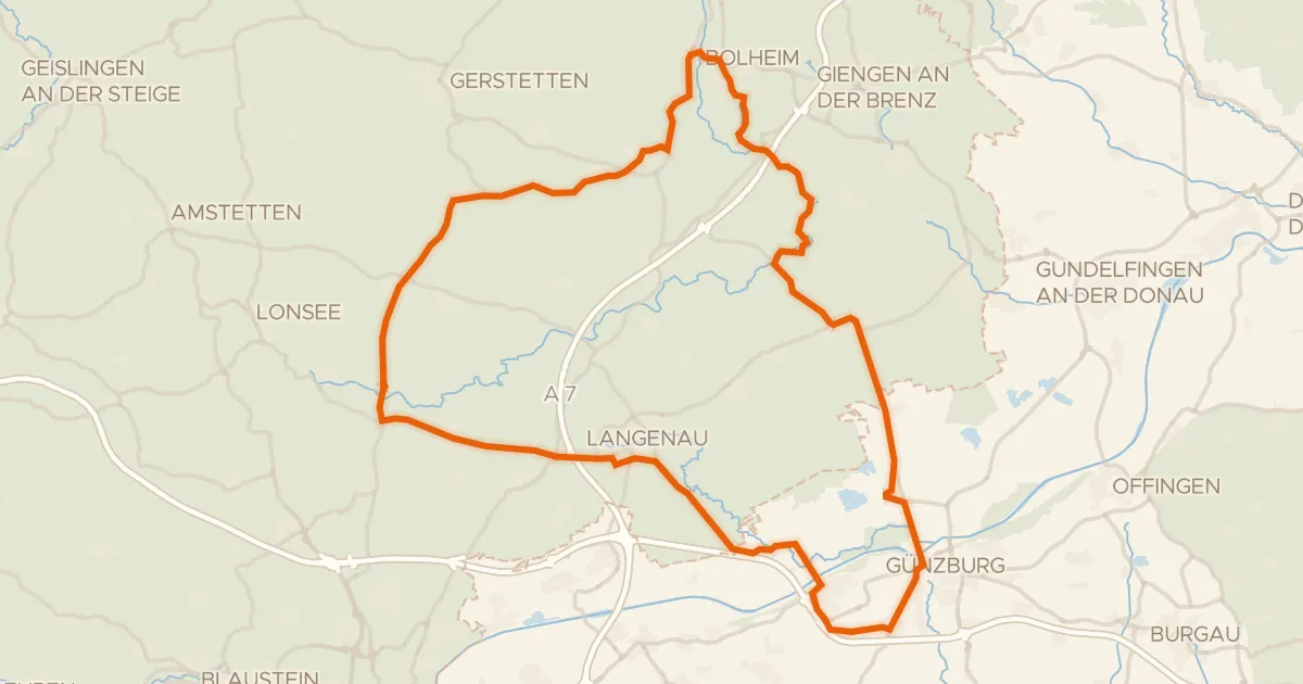
Road bike98% paved
Rondje Eselsburger Tal en Schloss Leipheim
82 km↑ 607 m18 km away
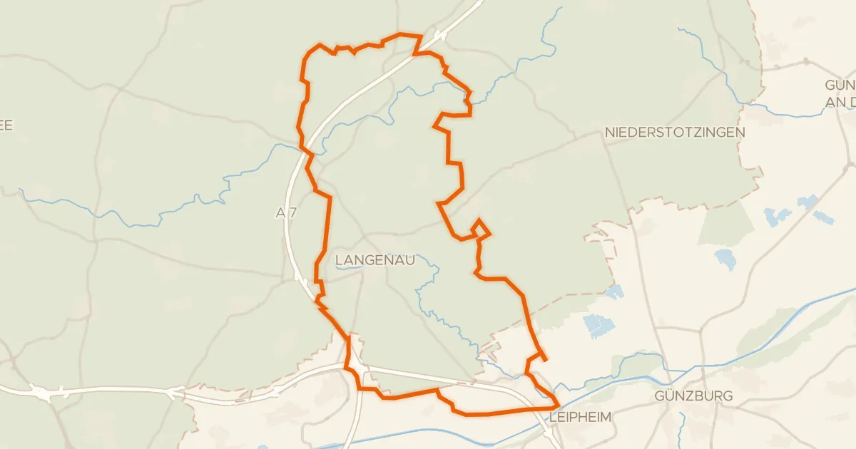
Gravel29% paved
Rondje Leipheimer Moos en Mittleres Lonetal
57 km↑ 362 m19 km away
Gravel17% paved
Rondje ehem. Burg Falkenstein en Eselsburger Tal
61 km↑ 677 m19 km away
Road bike98% paved
Rondje Schloss Amerdingen en Apfelwörth
75 km↑ 464 m19 km away