Back to the librarykm 16–20km 48–53km 64–68km 95–96km 116–118
TouringRound trip
Radweg von Krater zu Krater West
Distance
130 km
Ascent
1,567 m
Highest point
694 m
75% paved
Start from your location
Ride there from home: we find the shortest way to the loop and start the loop from there.
The ride
Roll out on 130.4 km with 1567 m of climbing, a route that keeps mixing things up. You'll ride 75% paved and 24% unpaved, so the surface shifts as you go. Along the way, the Wasserscheide Rhein/Donau marks the divide between two river basins. It's a ride of steady variety, from start to finish.
Passes
Wasserscheide Rhein/Donau
Climbs
Climb 1Cat. 4
4.4 km at 3.5% · max 13.7%
Climb 2Cat. 3
5 km at 3.7% · max 12.6%
Climb 3Cat. 4
4 km at 3.2% · max 10.9%
Climb 4Hill
1.2 km at 3.3% · max 9.9%
Climb 5Hill
1.7 km at 4.1% · max 12%
Routes nearby
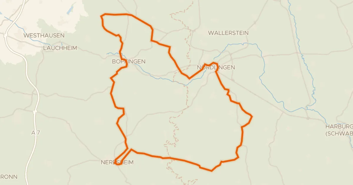
Road bike100% paved
Rondje Schloss Hohenaltheim en Schloss Baldern
76 km↑ 867 m5 km away
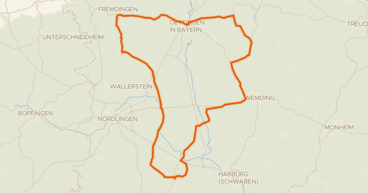
Road bike100% paved
Rondje Schloss Polsingen en Naturpark Altmühltal
73 km↑ 461 m9 km away
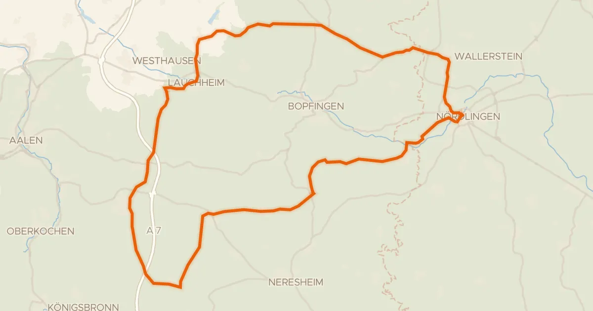
Road bike100% paved
Rondje Kapfenburg en Schloss Wallerstein
73 km↑ 790 m11 km away
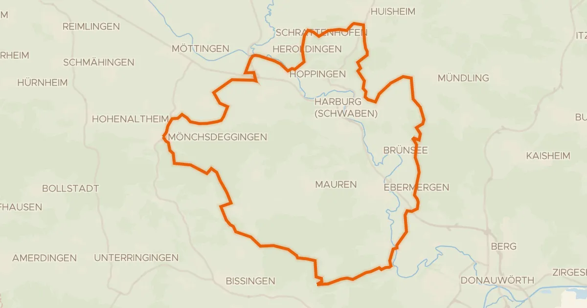
Gravel17% paved
Rondje Wörnitz en Eger
55 km↑ 744 m16 km away
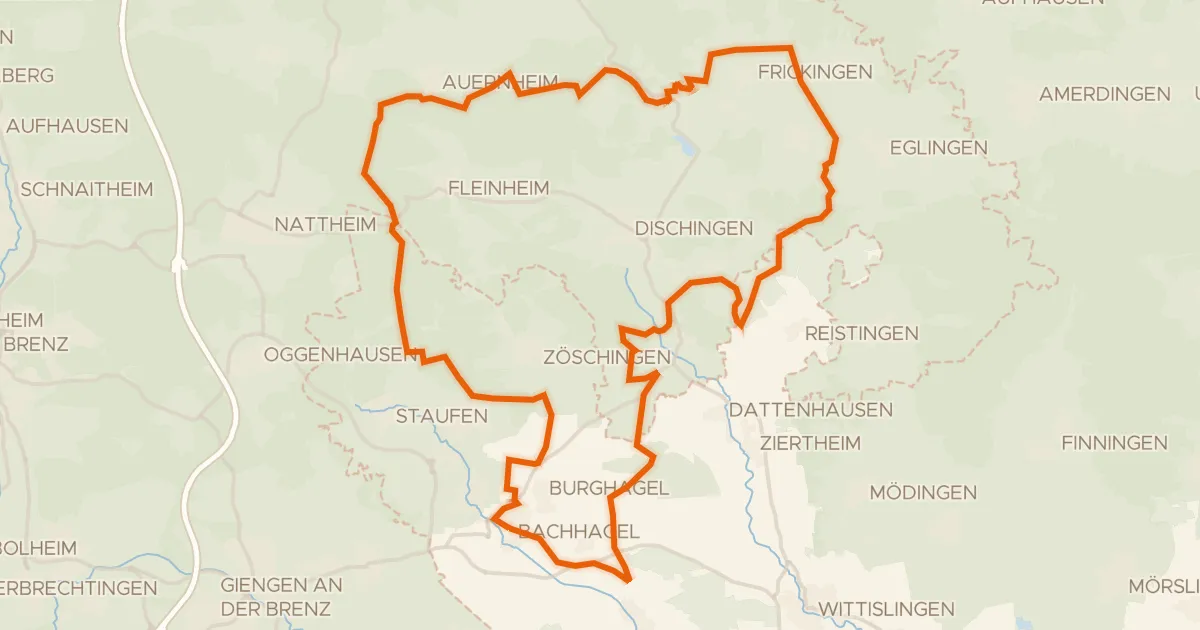
Gravel19% paved
Rondje Zwing en Dattenhauser Ried
60 km↑ 707 m22 km away
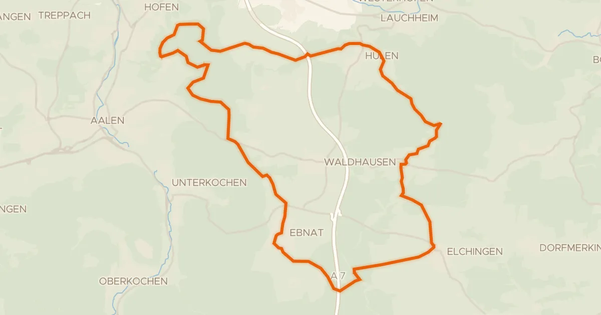
Gravel51% paved
Vom Braunenberg bis zu den Härtsfelder Trockentälern
41 km↑ 539 m22 km away
Wasserscheide Rhein/Donau · Vierwegzeiger