Back to the librarykm 8 · Apr 2025 · © soulcover / Mapillary, CC BY-SA km 26 · Jul 2025 · © mfa / Mapillary, CC BY-SA km 53 · Feb 2024 · © tasmaniadevil / Mapillary, CC BY-SA km 56 · Sep 2021 · © wegatest / Mapillary, CC BY-SA km 68–69
Road bikeRouteCasterRound trip
Rondje Schloss Polsingen en Naturpark Altmühltal
Distance
73 km
Ascent
461 m
Highest point
511 m
100% paved
Start from your location
Ride there from home: we find the shortest way to the loop and start the loop from there.
The ride
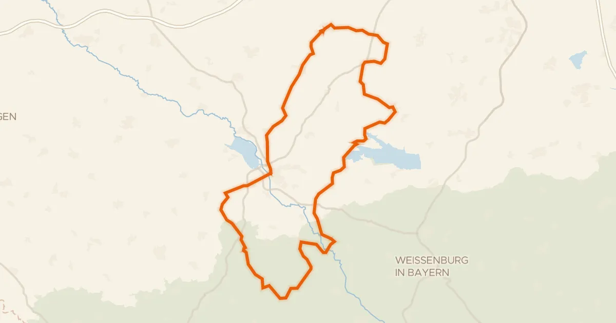
Roll out of Polsingen and past Schloss Polsingen, then into Naturpark Altmühltal. The Wörnitz river leads you on to Schloss Lierheim and the Eger, before a Wasserschloß and a Residenzschloss round things off. All 73.1 km is paved, with 461 m of climbing, and it finishes back in Polsingen.
Along the way
Climbs
Climb 1Hill
1.4 km at 3.5% · max 9.9%
Routes nearby
Road bike100% paved
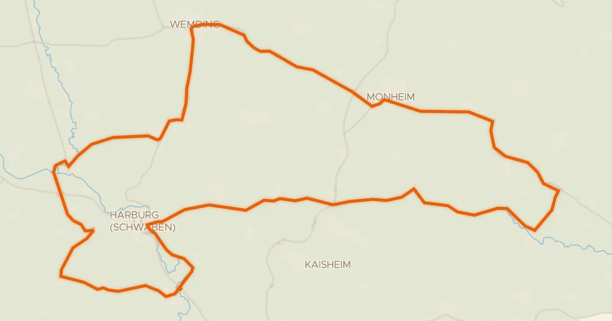
Rondje Schloss Gosheim en Priel
78 km↑ 755 m14 km away
Gravel17% paved
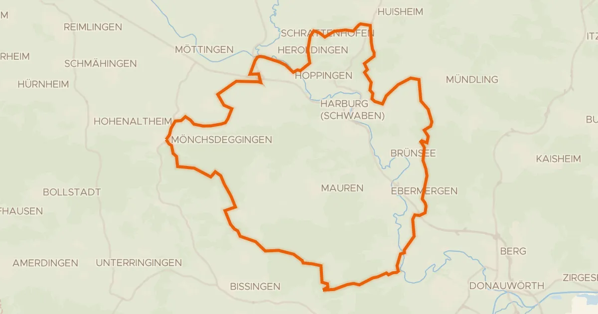
Rondje Wörnitz en Eger
55 km↑ 744 m17 km away
Gravel27% paved
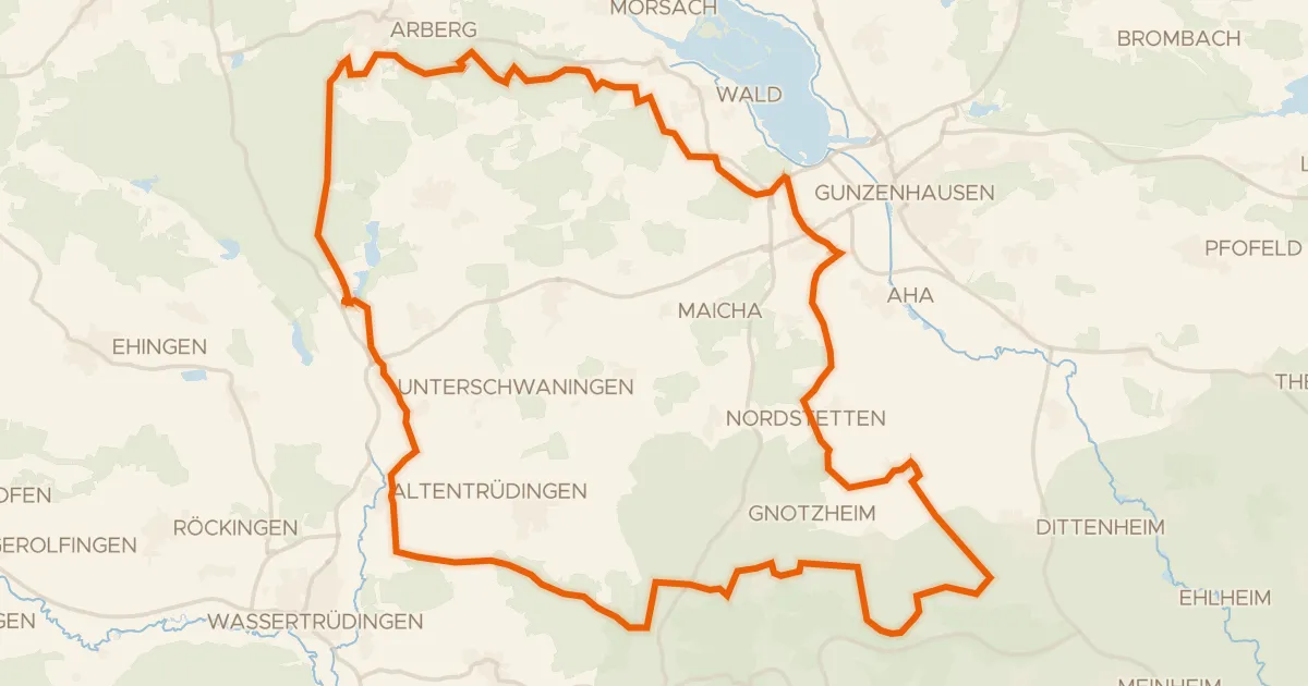
Rondje Schloß Dennenlohe en Geopark Ries
56 km↑ 596 m19 km away
Road bike100% paved
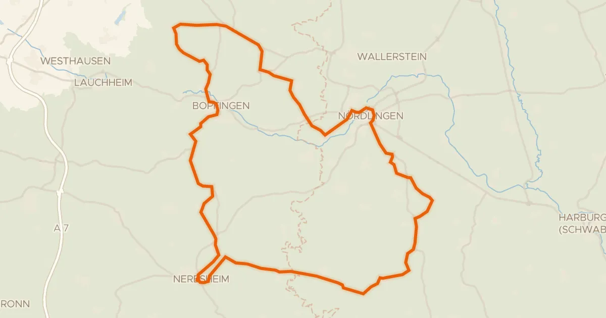
Rondje Schloss Hohenaltheim en Schloss Baldern
76 km↑ 867 m23 km away
Road bike99% paved
Rondje Schloss Dürrenmungenau en Burg Wernfels
95 km↑ 1,097 m24 km away
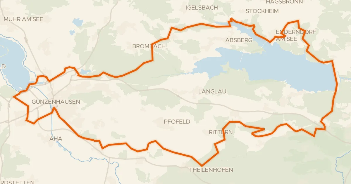
Gravel34% paved
Rondje Igelsbachsee en Altmühl
61 km↑ 621 m24 km away