Back to the librarykm 14 · Jul 2020 · © changchun1 / Mapillary, CC BY-SA km 48–50km 51–52km 56–57km 58–59
GravelRouteCasterRound trip
Rondje Igelsbachsee en Altmühl
Distance
61 km
Ascent
621 m
Highest point
516 m
34% paved
Start from your location
Ride there from home: we find the shortest way to the loop and start the loop from there.
The ride
Roll out of Ottmannsberg and let the route unfold. You pass the Igelsbachsee, then the Stauwurzel des Igelsbachsees nature reserve, before crossing the Altmühl river and riding through the Naturpark Altmühltal. With 621 m of climbing over 60.6 km and most of it unpaved, the loop brings you back to Ottmannsberg.
Along the way
Climbs
Climb 1Hill
1.4 km at 3% · max 7.1%
Climb 2Hill
1.6 km at 3.4% · max 12.2%
Climb 3Hill
0.7 km at 5.7% · max 8.2%
Climb 4Hill
0.5 km at 6.2% · max 12.3%
Routes nearby
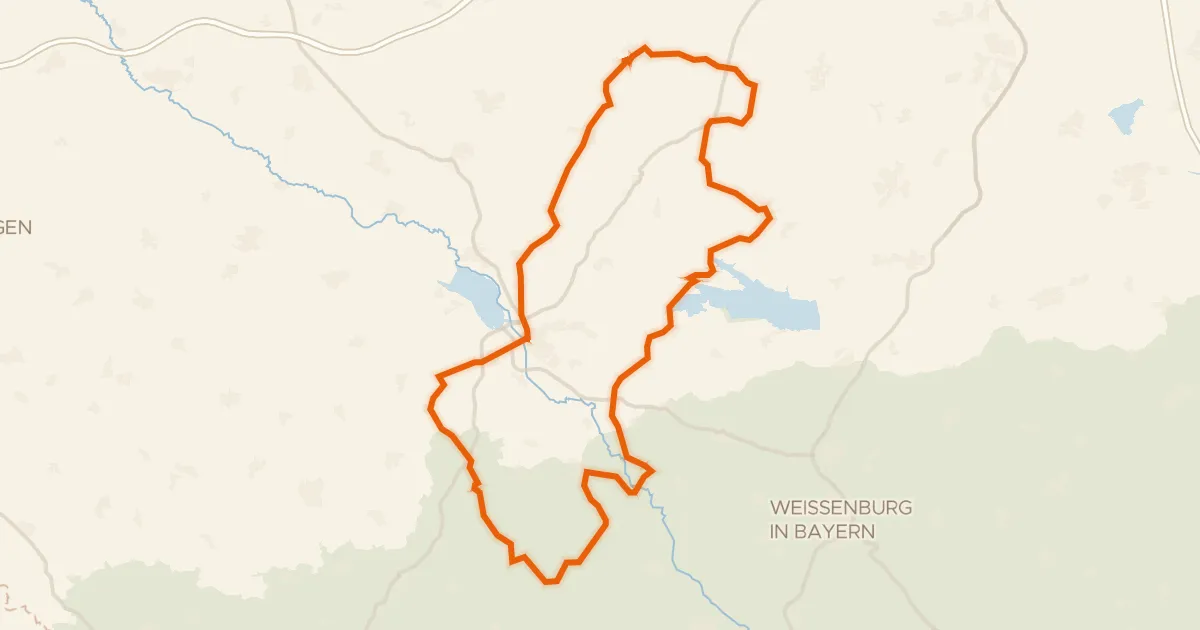
Road bike99% paved
Rondje Schloss Dürrenmungenau en Burg Wernfels
95 km↑ 1,097 m9 km away
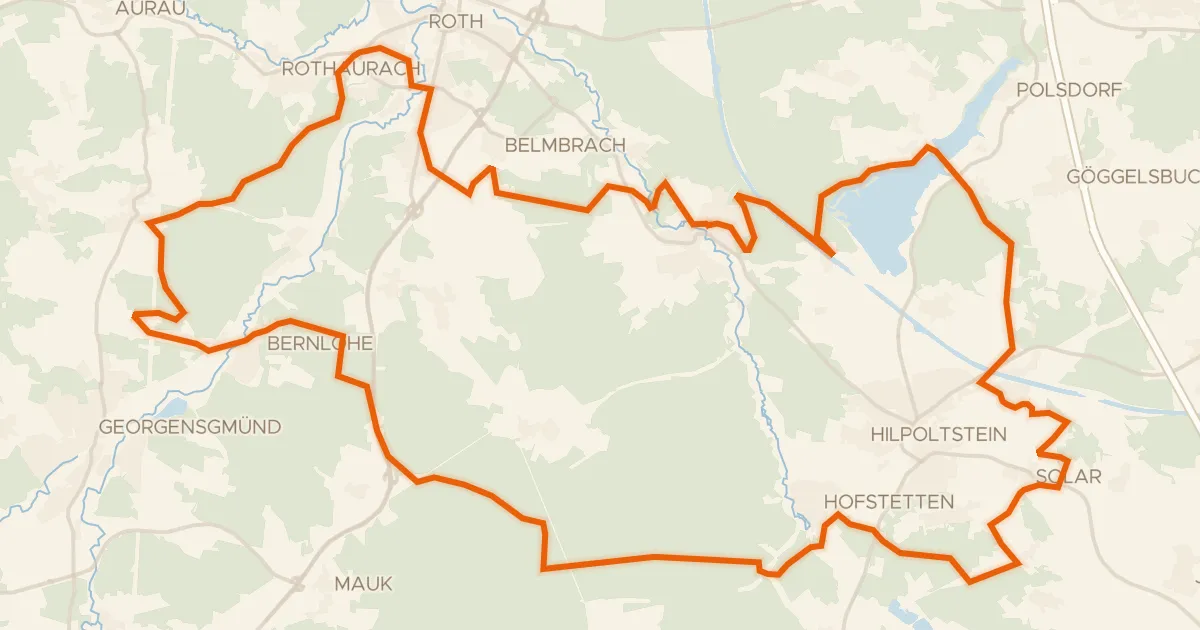
Gravel19% paved
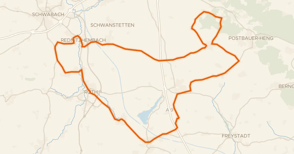
Rondje Nordwestufer der Rothsee-Hauptsperre en Rednitz
56 km↑ 555 m16 km away
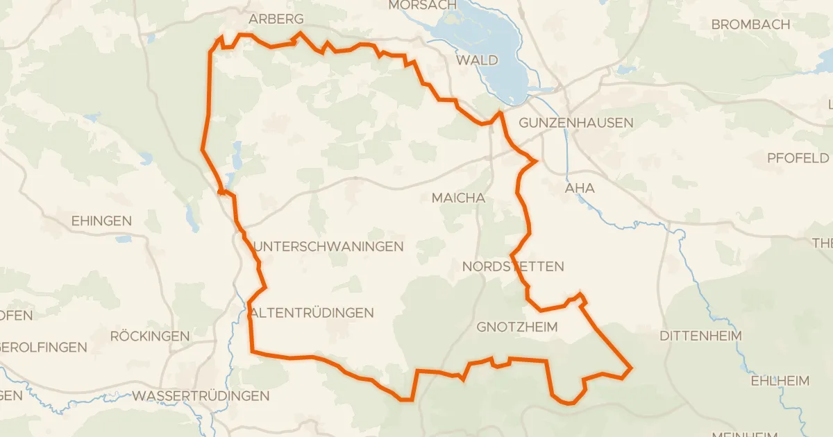
Gravel27% paved
Rondje Schloß Dennenlohe en Geopark Ries
56 km↑ 596 m18 km away
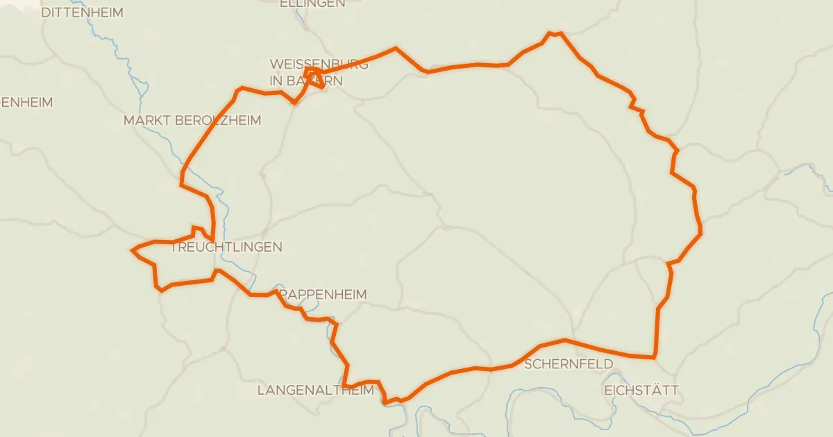
Road bike97% paved
Rondje Burgruine Treuchtlingen en Schloss Titting
93 km↑ 950 m22 km away
Road bike100% paved
Rondje langs Schloss Pyrbaum en Schloss Ratibor
75 km↑ 618 m23 km away
Road bike98% paved
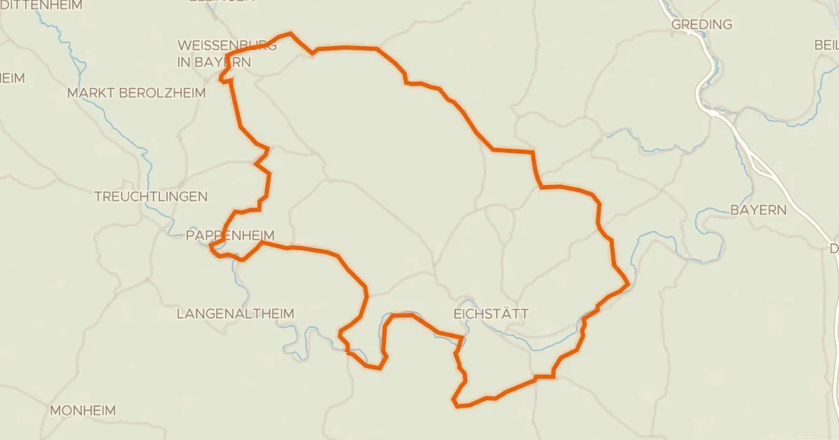
Rondje Burg Pappenheim en Altmühl
98 km↑ 1,155 m27 km away