Back to the librarykm 5 · Jan 2018 · © derzornigemarkus / Mapillary, CC BY-SA km 30 · Jul 2024 · © HAmapi / Mapillary, CC BY-SA km 39 · May 2024 · © wegavision / Mapillary, CC BY-SA km 61 · Aug 2022 · © kopra / Mapillary, CC BY-SA km 16–17km 23–26
Road bikeRouteCasterRound trip
Rondje langs Schloss Pyrbaum en Schloss Ratibor
Distance
75 km
Ascent
618 m
Highest point
465 m
100% paved
Start from your location
Ride there from home: we find the shortest way to the loop and start the loop from there.
The ride
Roll out of Plöckendorf and follow the Rednitz river before climbing to Schloss Pyrbaum, a castle on the way. Next comes the Schwarzachtal mit Nebentälern nature reserve, then the Kleine Roth and Roth rivers lead you toward Schloss Ratibor, another castle. With 74.7 km of paved road and 618 m of climbing, it loops back to where you started.
Along the way
Climbs
Climb 1Hill
1 km at 3.8% · max 11.4%
Climb 2Hill
2.1 km at 3% · max 8.3%
Routes nearby
Gravel19% paved
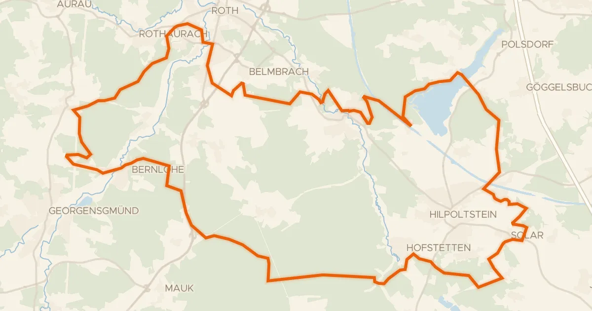
Rondje Nordwestufer der Rothsee-Hauptsperre en Rednitz
56 km↑ 555 m12 km away
Gravel17% paved
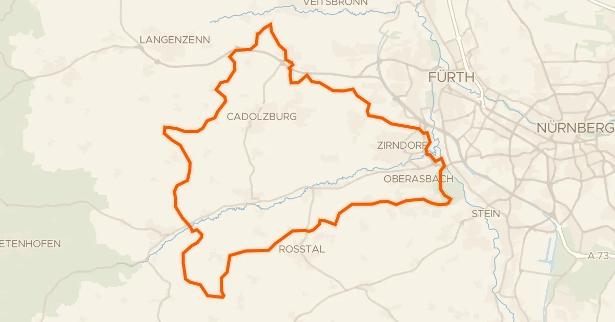
Rondje Hainberg en Bibert
63 km↑ 626 m20 km away
Gravel20% paved
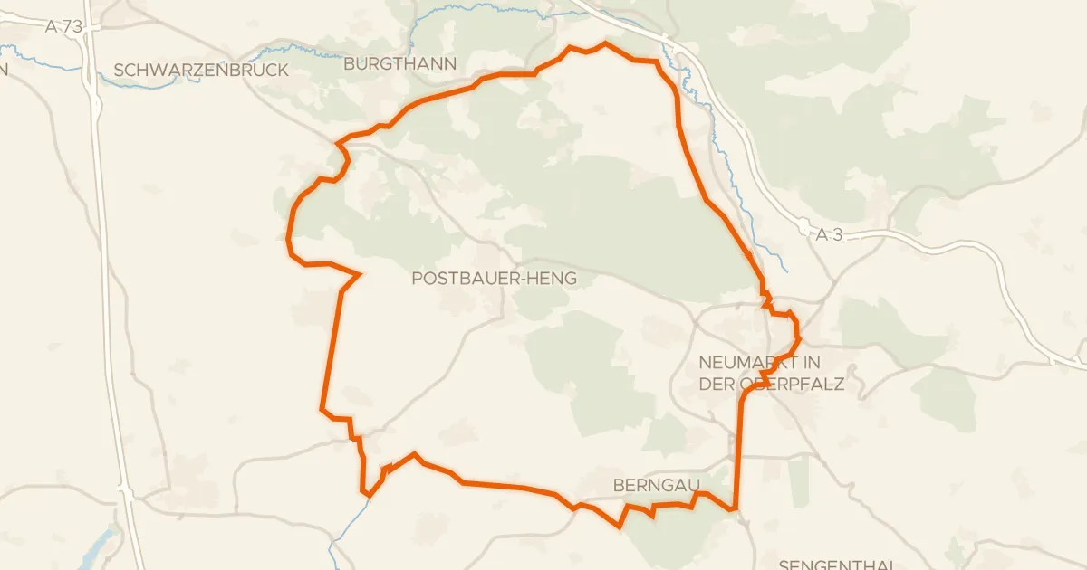
Rondje Pfalzgrafenschloß en Schwarzachtal mit Nebentälern
56 km↑ 401 m22 km away
Road bike99% paved
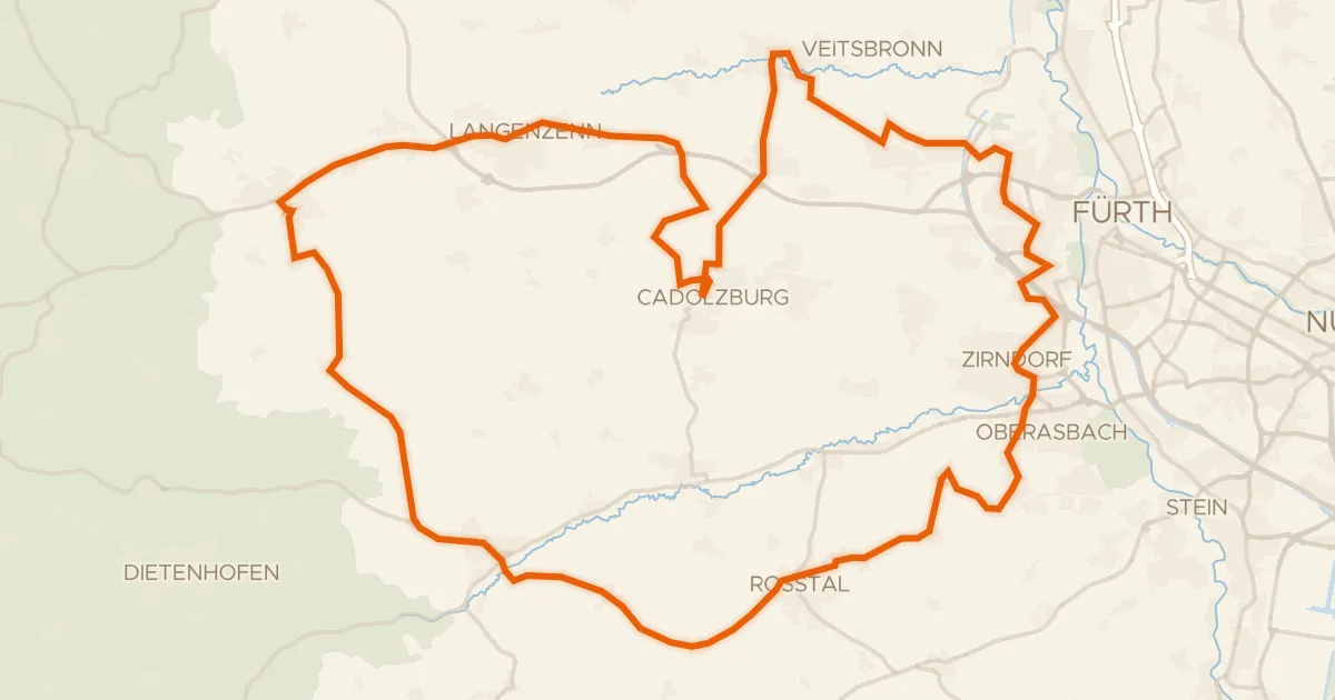
Rondje Burg Cadolzburg en Weiherkette bei Oberreichenbach
72 km↑ 586 m23 km away
Road bike97% paved
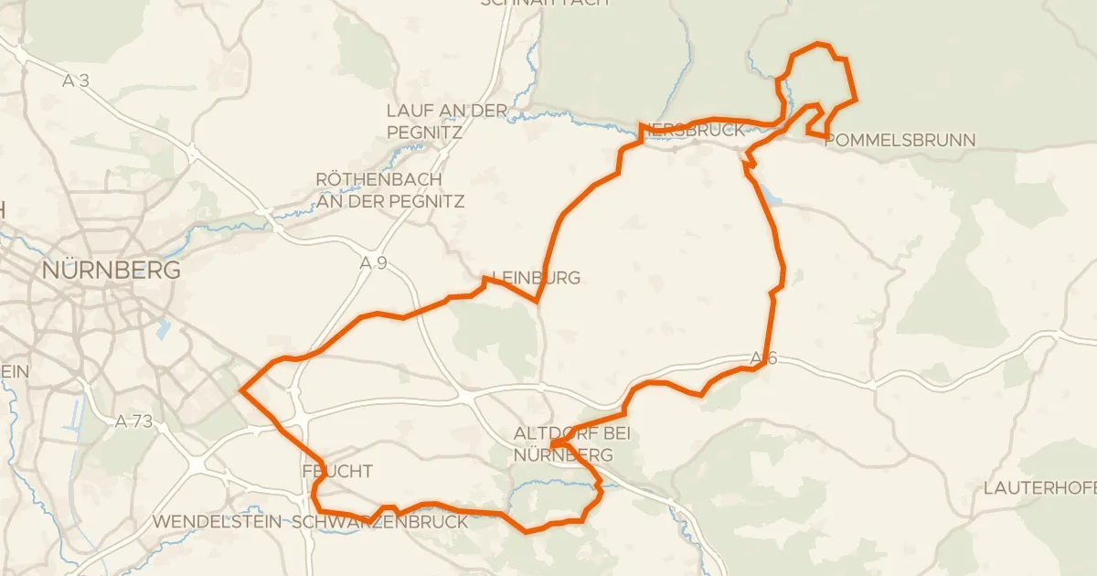
Rondje Zeidlerschloss en Schwarzach-Durchbruch
100 km↑ 1,219 m26 km away
Gravel34% paved
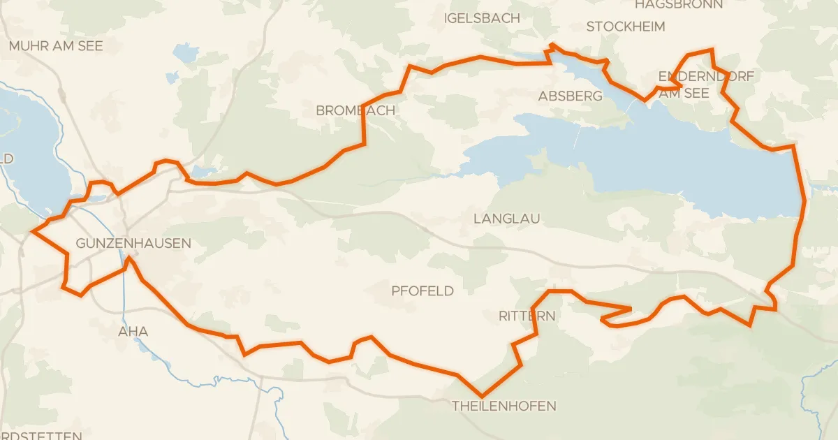
Rondje Igelsbachsee en Altmühl
61 km↑ 621 m26 km away