Back to the library
GravelRouteCasterRound trip

Rondje Pfalzgrafenschloß en Schwarzachtal mit Nebentälern

Distance
56 km
Ascent
401 m
Highest point
518 m
20% paved

Start from your location

Ride there from home: we find the shortest way to the loop and start the loop from there.

The ride

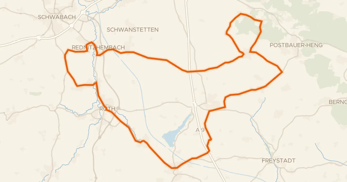
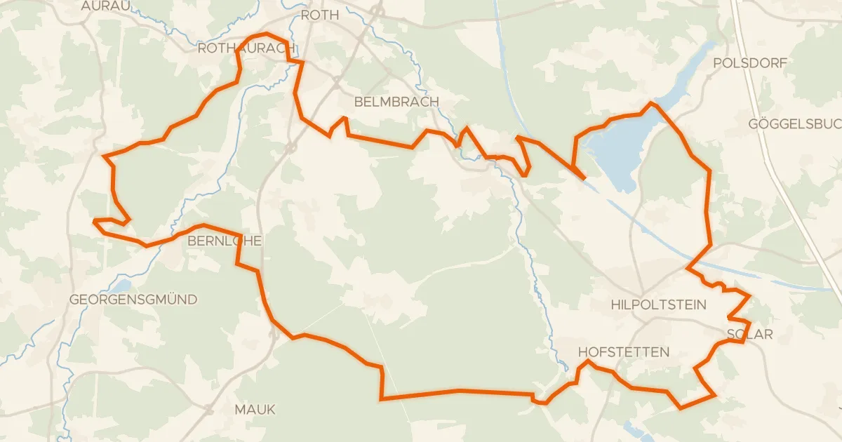
Roll out of Seligenporten and the Schwarzachtal nature reserve opens the ride, with Gnadenberg and Dillberg-Heinrichsberg following through the trees. Past the Pfalzgrafenschloß castle the route climbs toward Buchberg nature reserve, 401 m of elevation in all. Of the 56.4 km, most run unpaved, so expect a mixed-surface day from start to finish back in Seligenporten.
Along the way

km 13 · Oct 2024 · © HeiKue / Mapillary, CC BY-SA
km 27 · Nov 2024 · © HAmapi / Mapillary, CC BY-SA

Climbs

Climb 1Cat. 4
3 km at 3% · max 8.6%
km 40–43

Routes nearby

More cycling routes in Germany →