Back to the library
GravelRouteCasterRound trip

Rondje Vogelfreistätte Kauerlacher Weiher en Sulz

Distance
62 km
Ascent
548 m
Highest point
573 m
19% paved

Start from your location

Ride there from home: we find the shortest way to the loop and start the loop from there.

The ride

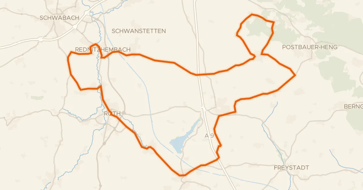
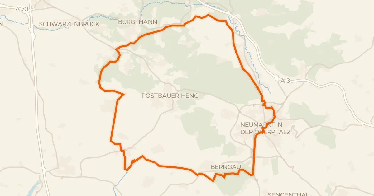
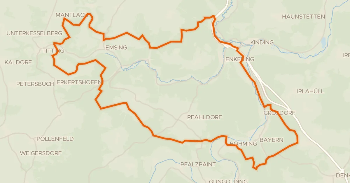
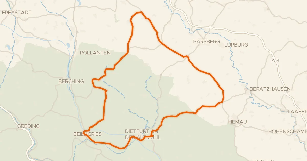
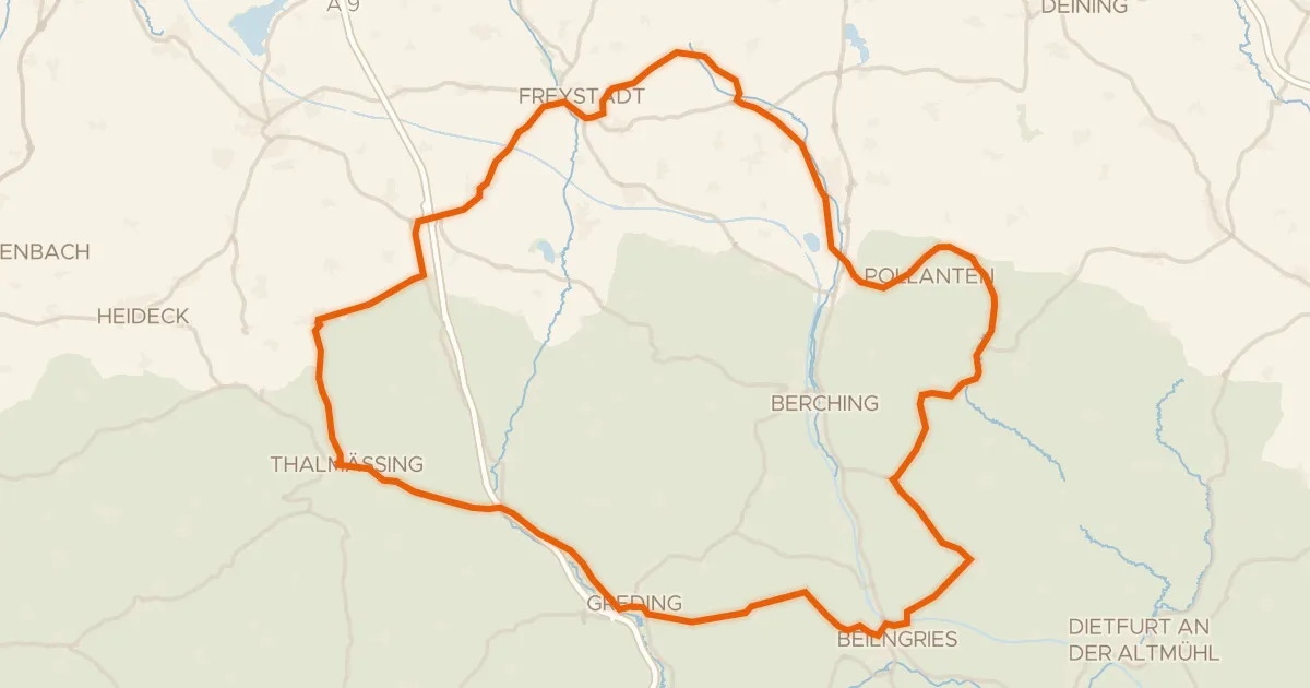
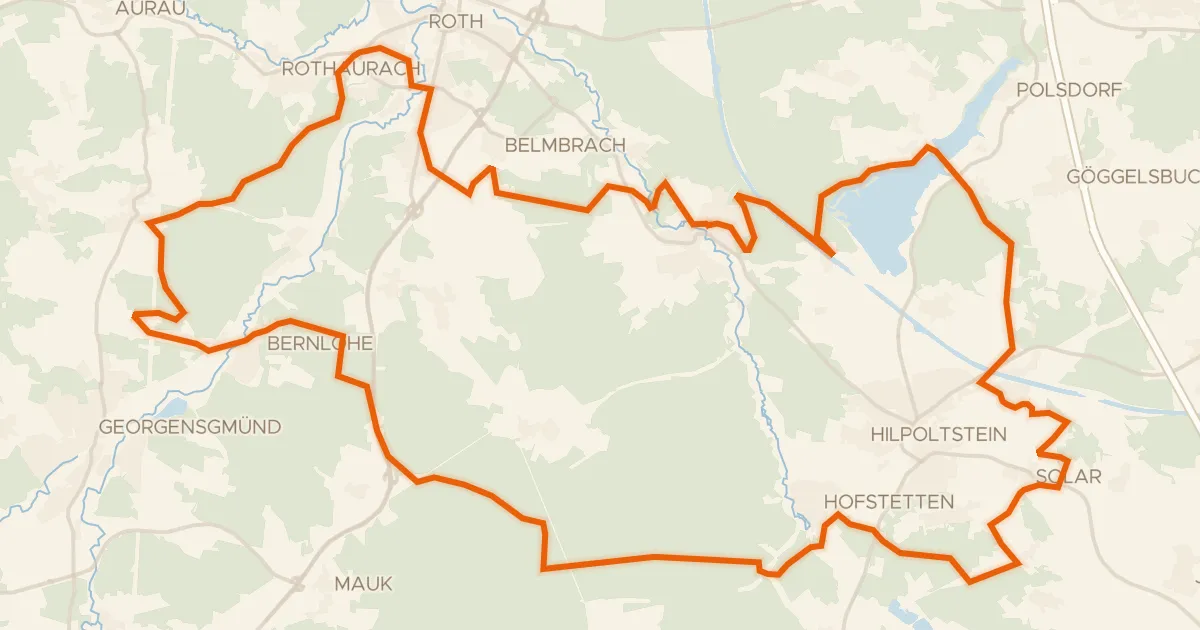
Roll out from Parkeerplaats Vogelfreistätte Kauerlacher Weiher and let the route unfold: 62.0 km with 548 m of climbing, mostly unpaved. You pass the Vogelfreistätte Kauerlacher Weiher nature reserve, then follow the Schwarzach river into the Naturpark Altmühltal nature reserve. From there the Sulz river leads you along, before the loop brings you back to where you started.
Along the way

Climbs

Climb 1Cat. 4
2.2 km at 3.7% · max 14.4%
km 3–5
Climb 2Cat. 4
3.4 km at 3.3% · max 33.1%
km 6–9
Climb 3Hill
0.2 km at 13.6% · max 22.7%
km 25–25
Climb 4Cat. 4
2.7 km at 4.8% · max 30.3%
km 26–29

Routes nearby

More cycling routes in Germany →