Back to the librarykm 5–7km 7–9km 9–10km 12–14km 55–55km 55–56km 57–59
GravelRouteCasterRound trip
Rondje ehem. Burg Falkenstein en Eselsburger Tal
Distance
61 km
Ascent
677 m
Highest point
695 m
17% paved
Start from your location
Ride there from home: we find the shortest way to the loop and start the loop from there.
The ride
Roll out of Gerstetten and let the ride unfold: first the lindens at the Eitenberg, then into the Eselsburger Tal nature reserve. Climb past the old Falkenstein castle, cross the Brenz river, and carry on to Hürgerstein castle before the ground between Rothau and Zollhau closes the loop. Of the 61.0 km, most runs unpaved, with 677 m of climbing along the way. Back into Gerstetten where it all began.
Climbs
Climb 1Hill
1.9 km at 4.2% · max 13.7%
Climb 2Hill
1.4 km at 3.4% · max 9%
Climb 3Hill
0.7 km at 3.7% · max 7.7%
Climb 4Hill
1.5 km at 3.9% · max 11.2%
Climb 5Hill
0.5 km at 6.2% · max 9.8%
Climb 6Hill
0.5 km at 8.8% · max 12.9%
Climb 7Hill
1.4 km at 3.1% · max 5.6%
Routes nearby
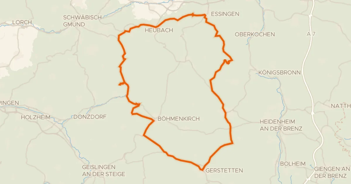
Road bike96% paved
Rondje Schloss Weißenstein en Steinheimer Becken
75 km↑ 1,095 m11 km away
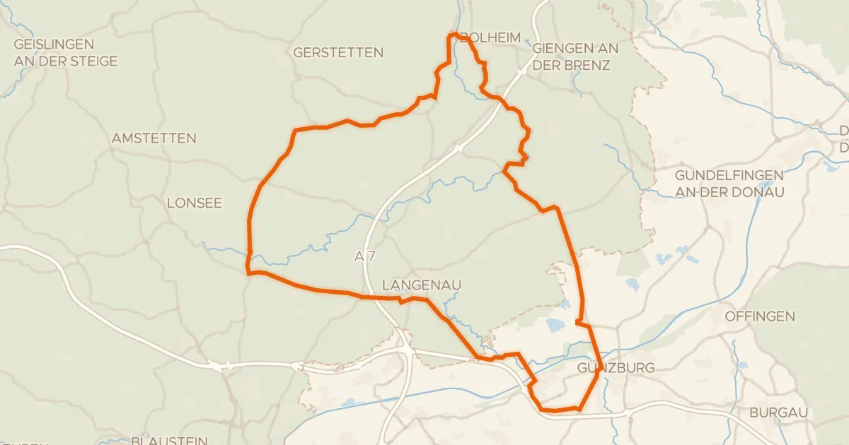
Road bike98% paved
Rondje Eselsburger Tal en Schloss Leipheim
82 km↑ 607 m13 km away
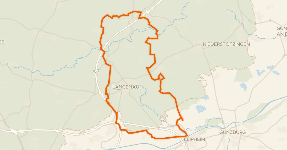
Gravel29% paved
Rondje Leipheimer Moos en Mittleres Lonetal
57 km↑ 362 m16 km away
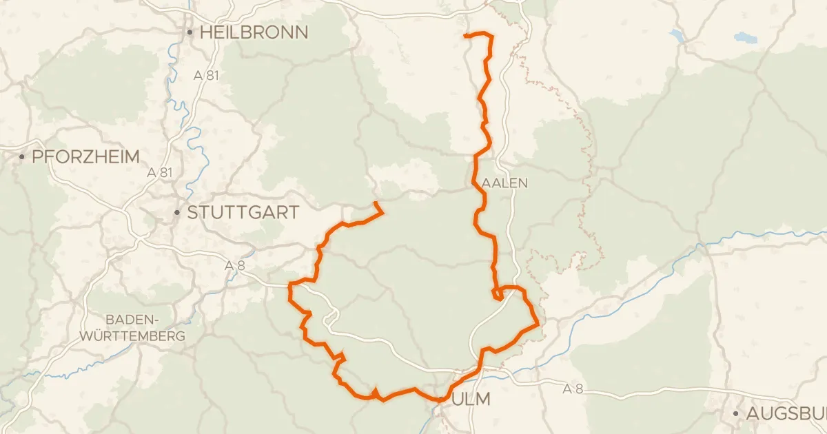
Touring92% paved
Württemberger Tälerradweg
274 km↑ 2,318 m18 km away
Wasserscheide Rhein/Donau
Gravel20% paved
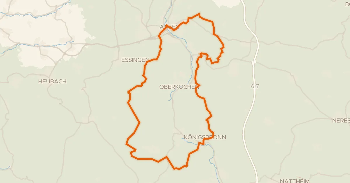
Rondje Aalbäumle en Brenz
60 km↑ 986 m19 km away
Touring81% paved
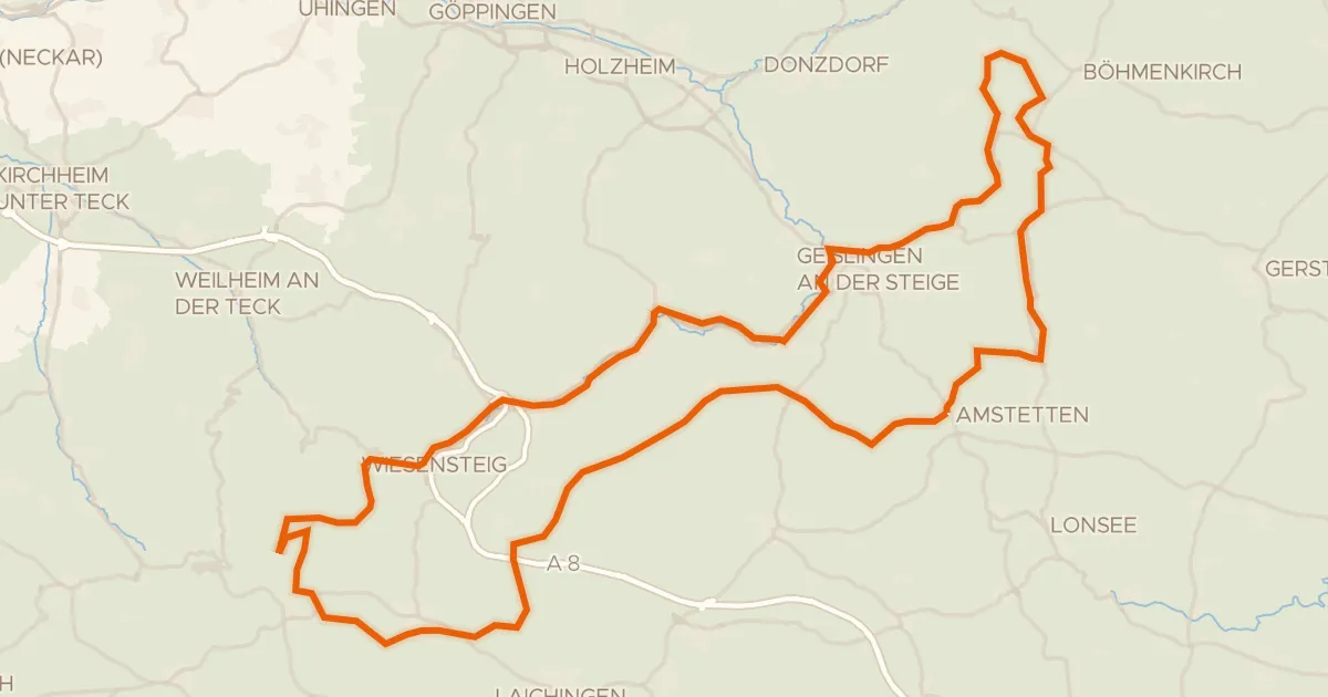
Albtraufroute
100 km↑ 1,164 m21 km away
Wasserscheide Rhein/Donau