Back to the librarykm 4 · Jan 2018 · © thinknicethings / Mapillary, CC BY-SA km 0–7km 7–10km 31–32km 42–44km 44–46
GravelRouteCasterRound trip
Rondje Aalbäumle en Brenz
Distance
60 km
Ascent
986 m
Highest point
722 m
20% paved
Start from your location
Ride there from home: we find the shortest way to the loop and start the loop from there.
The ride
Roll out of Aalen and up to the Aalbäumle viewpoint, then into the Bannwald Siebter Fuß forest. The route runs 59.7 km, mostly unpaved, down along the Brenz river and across the Brünneleswiesen nature reserve. A doline nature reserve waits near the end before the road turns back to Aalen.
Along the way
Climbs
Climb 1Cat. 3
6.6 km at 3.6% · max 40.8%
Climb 2Cat. 4
2.2 km at 5.4% · max 18.7%
Climb 3Cat. 4
1.4 km at 6.7% · max 19.8%
Climb 4Hill
1.1 km at 3.4% · max 6.9%
Climb 5Cat. 4
2 km at 7% · max 25.8%
Routes nearby
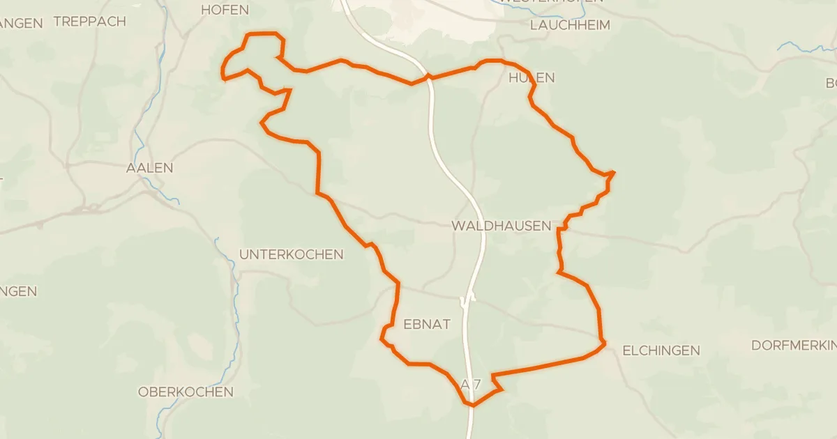
Gravel51% paved
Vom Braunenberg bis zu den Härtsfelder Trockentälern
41 km↑ 539 m7 km away
Wasserscheide Rhein/Donau · Vierwegzeiger
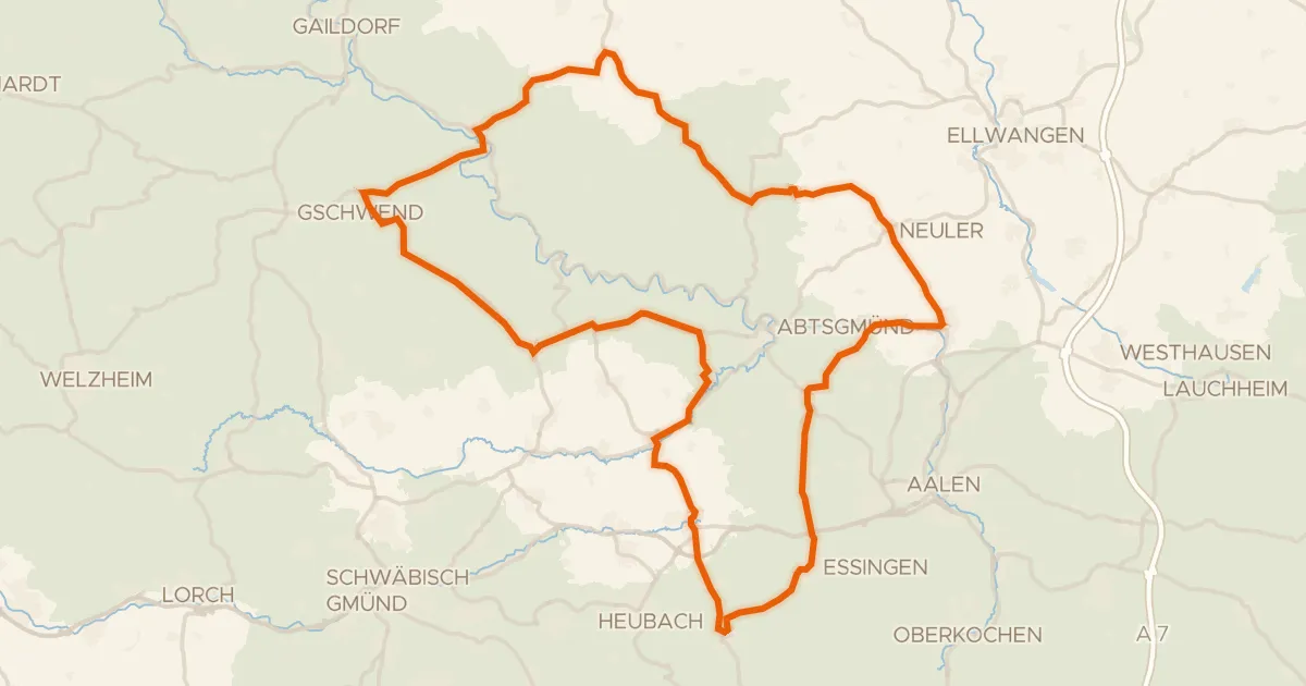
Road bike99% paved
Rondje langs de Kocher en Lein
89 km↑ 1,170 m12 km away
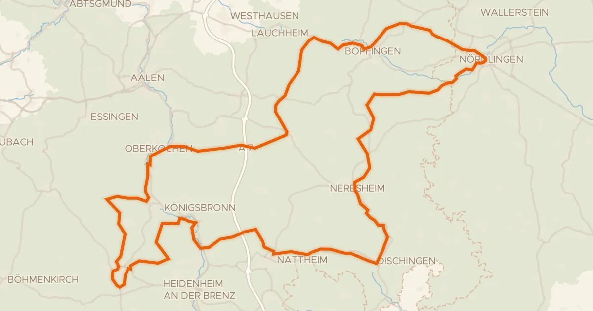
Touring75% paved
Radweg von Krater zu Krater West
130 km↑ 1,567 m15 km away
Wasserscheide Rhein/Donau
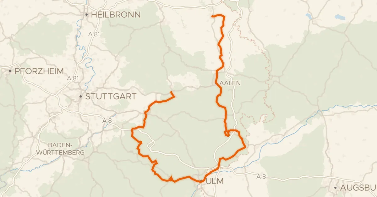
Touring92% paved
Württemberger Tälerradweg
274 km↑ 2,318 m16 km away
Wasserscheide Rhein/Donau
Road bike96% paved
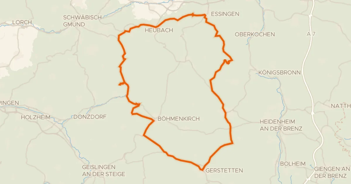
Rondje Schloss Weißenstein en Steinheimer Becken
75 km↑ 1,095 m16 km away
Road bike100% paved
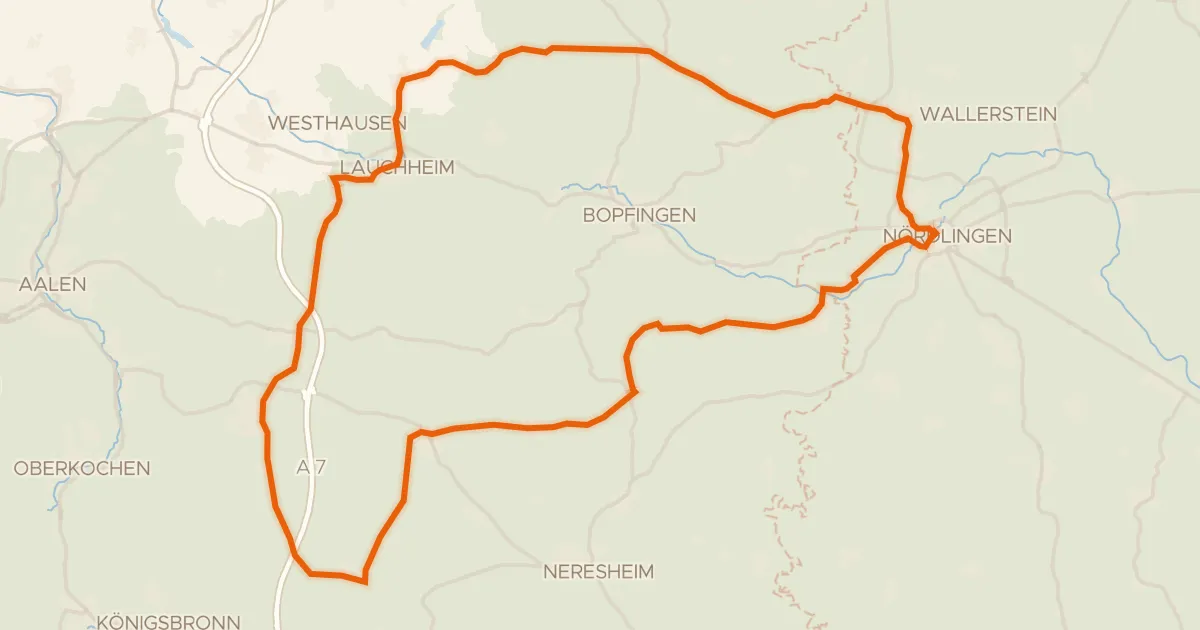
Rondje Kapfenburg en Schloss Wallerstein
73 km↑ 790 m18 km away