Back to the librarykm 17 · Mar 2026 · © soulcover / Mapillary, CC BY-SA km 28 · Jun 2025 · © thetornado76 / Mapillary, CC BY-SA km 54 · Aug 2026 · © stefanro74 / Mapillary, CC BY-SA km 83 · Aug 2026 · © soulcover / Mapillary, CC BY-SA km 25–29km 39–39km 44–46km 58–60km 70–74
Road bikeRouteCasterRound trip
Rondje langs de Kocher en Lein
Distance
89 km
Ascent
1,170 m
Highest point
685 m
99% paved
Start from your location
Ride there from home: we find the shortest way to the loop and start the loop from there.
The ride
Roll out of Neubronn and into the Naturpark Schwäbisch-Fränkischer Wald, then follow the Kocher river past Schloss Schmiedelfeld, Burg Niederalfingen and Schloß Fachsenfeld. The Ruine Lauterburg comes next, before the Rems and Lein rivers carry you home. Along the way you climb 1170 m across 88.9 km, almost all of it paved.
Along the way
Climbs
Climb 1Cat. 4
3.7 km at 4% · max 31.4%
Climb 2Hill
0.6 km at 5.4% · max 11.4%
Climb 3Cat. 4
2.1 km at 6.3% · max 14.1%
Climb 4Cat. 4
2.1 km at 4.7% · max 12.8%
Climb 5Cat. 3
4.4 km at 4.5% · max 12.3%
Routes nearby
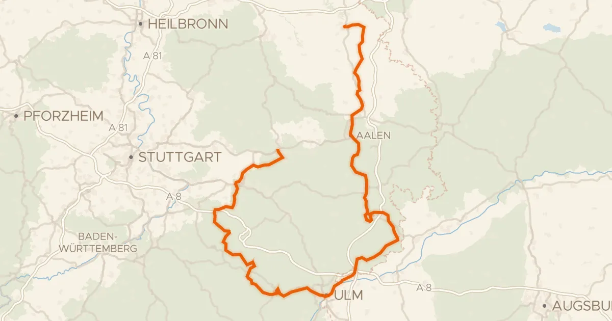
Touring92% paved
Württemberger Tälerradweg
274 km↑ 2,318 m14 km away
Wasserscheide Rhein/Donau
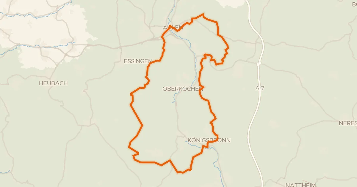
Gravel20% paved
Rondje Aalbäumle en Brenz
60 km↑ 986 m15 km away
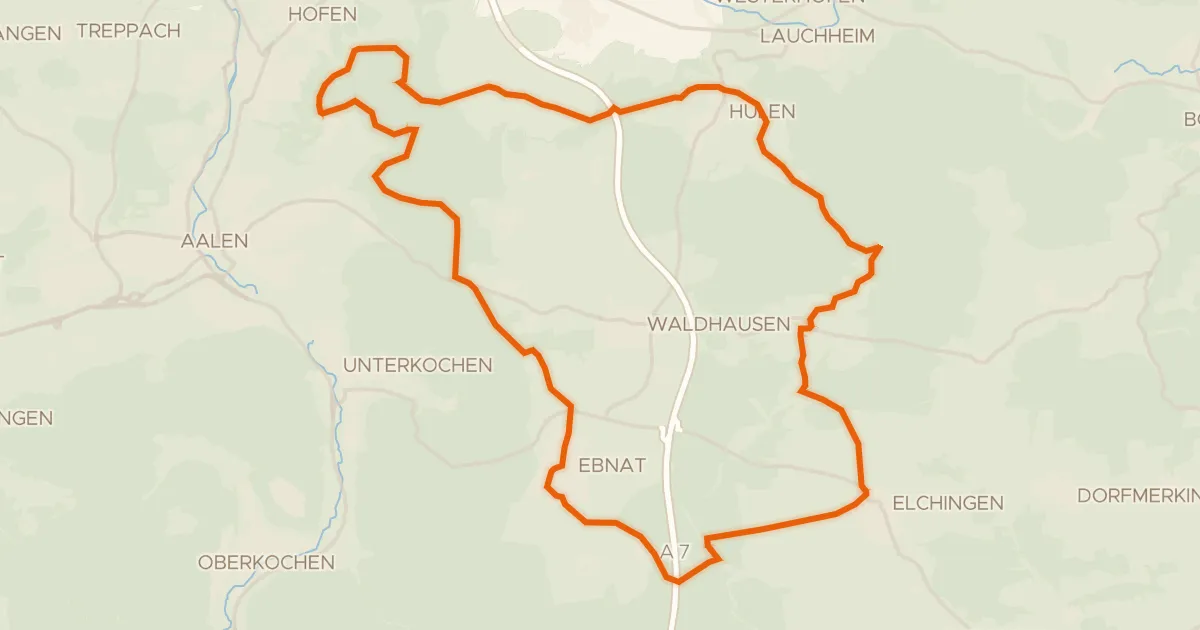
Gravel51% paved
Vom Braunenberg bis zu den Härtsfelder Trockentälern
41 km↑ 539 m18 km away
Wasserscheide Rhein/Donau · Vierwegzeiger
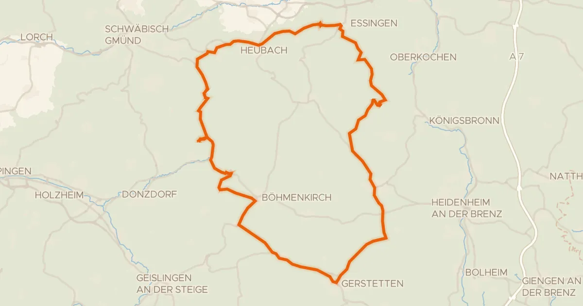
Road bike96% paved
Rondje Schloss Weißenstein en Steinheimer Becken
75 km↑ 1,095 m18 km away
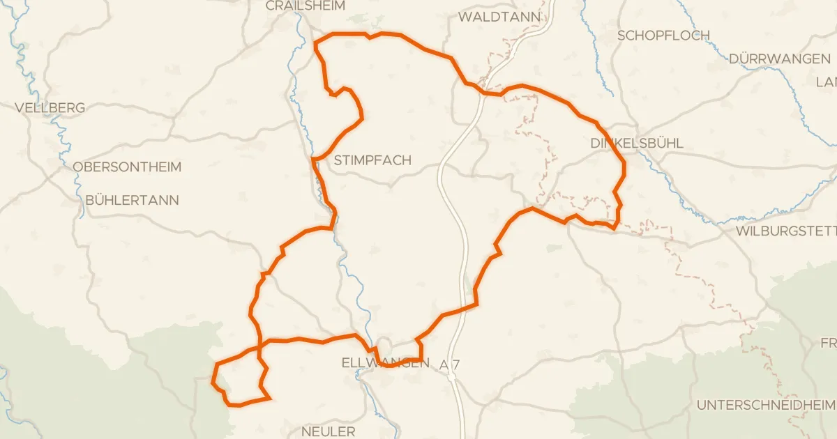
Road bike96% paved
Rondje Pfannenburg en Schloss Adelmannsfelden
92 km↑ 1,123 m22 km away
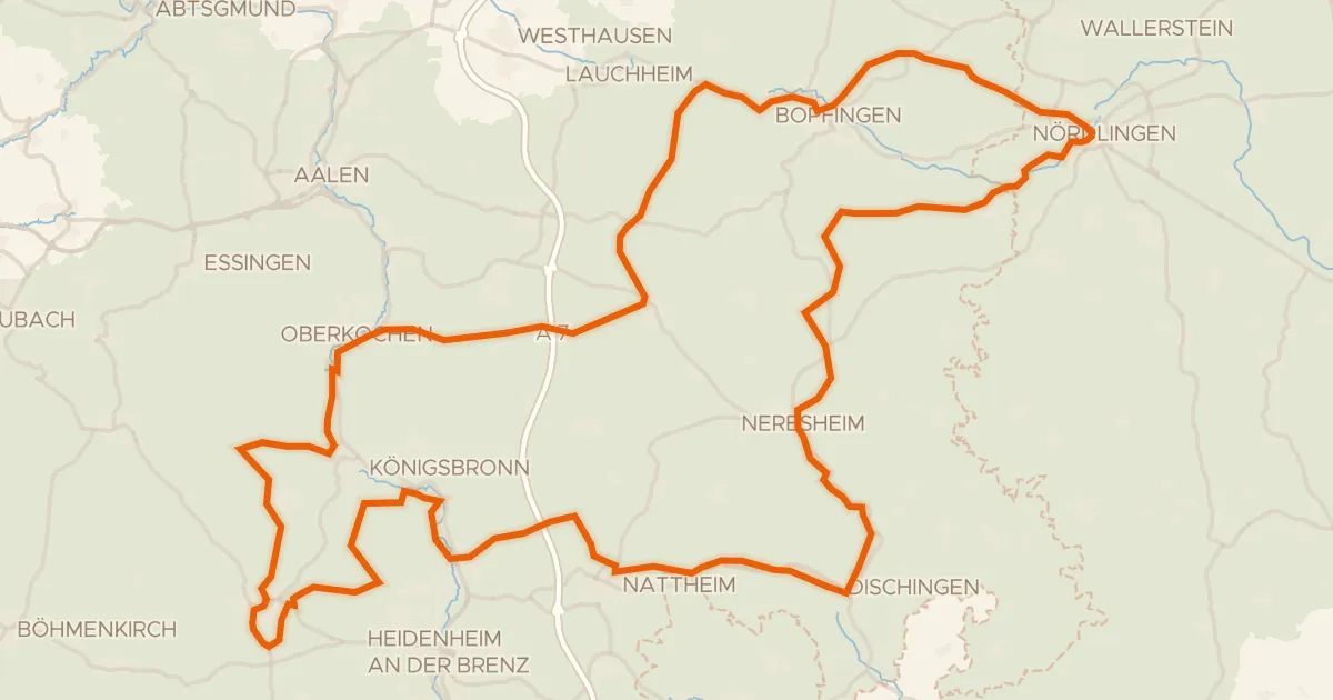
Touring75% paved
Radweg von Krater zu Krater West
130 km↑ 1,567 m25 km away
Wasserscheide Rhein/Donau