Back to the librarykm 24 · Jul 2026 · © ray66 / Mapillary, CC BY-SA km 40 · Aug 2026 · © soulcover / Mapillary, CC BY-SA km 64 · Apr 2026 · © soulcover / Mapillary, CC BY-SA km 1–4km 22–26km 27–28km 30–33
Road bikeRouteCasterRound trip
Rondje Schloss Weißenstein en Steinheimer Becken
Distance
75 km
Ascent
1,095 m
Highest point
703 m
96% paved
Start from your location
Ride there from home: we find the shortest way to the loop and start the loop from there.
The ride
Roll out from Parkeerplaats Kaltes Feld into the nature reserve of the same name, then past Schlossgut Hohenroden castle. The route continues through the Wental nature reserve and the Steinheimer Becken basin before climbing toward Schloss Weißenstein. With 75.3 km and 1095 m of elevation gain, it's a steady loop that returns to where you started.
Along the way
Climbs
FurtlepassCat. 4
2.7 km at 3.8% · max 12.3%
Climb 2Cat. 3
4.3 km at 4.9% · max 16.6%
Climb 3Hill
0.8 km at 4.5% · max 8.8%
Climb 4Cat. 4
2.8 km at 3.3% · max 11%
Routes nearby
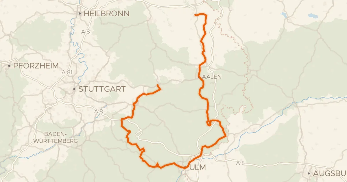
Touring92% paved
Württemberger Tälerradweg
274 km↑ 2,318 m5 km away
Wasserscheide Rhein/Donau
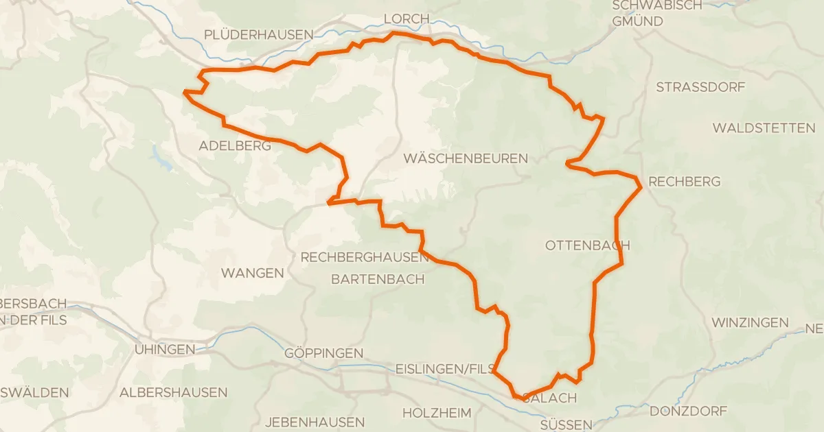
Gravel32% paved
Rondje Burg Staufeneck en Hohenrechberg
58 km↑ 1,361 m13 km away
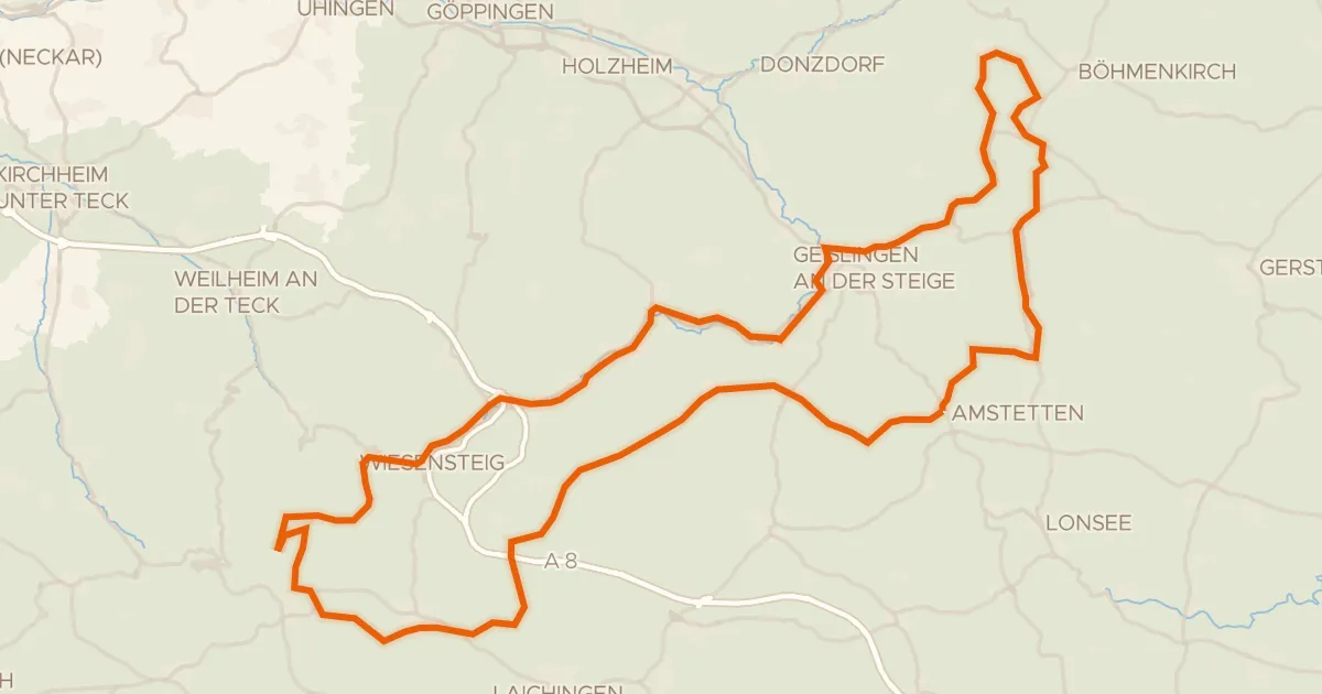
Touring81% paved
Albtraufroute
100 km↑ 1,164 m17 km away
Wasserscheide Rhein/Donau
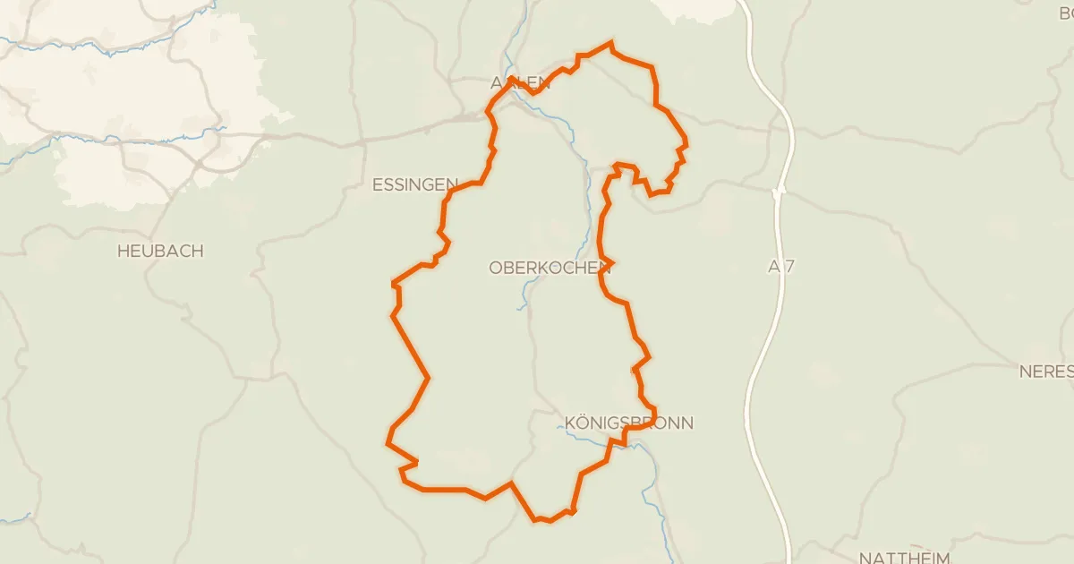
Gravel20% paved
Rondje Aalbäumle en Brenz
60 km↑ 986 m18 km away
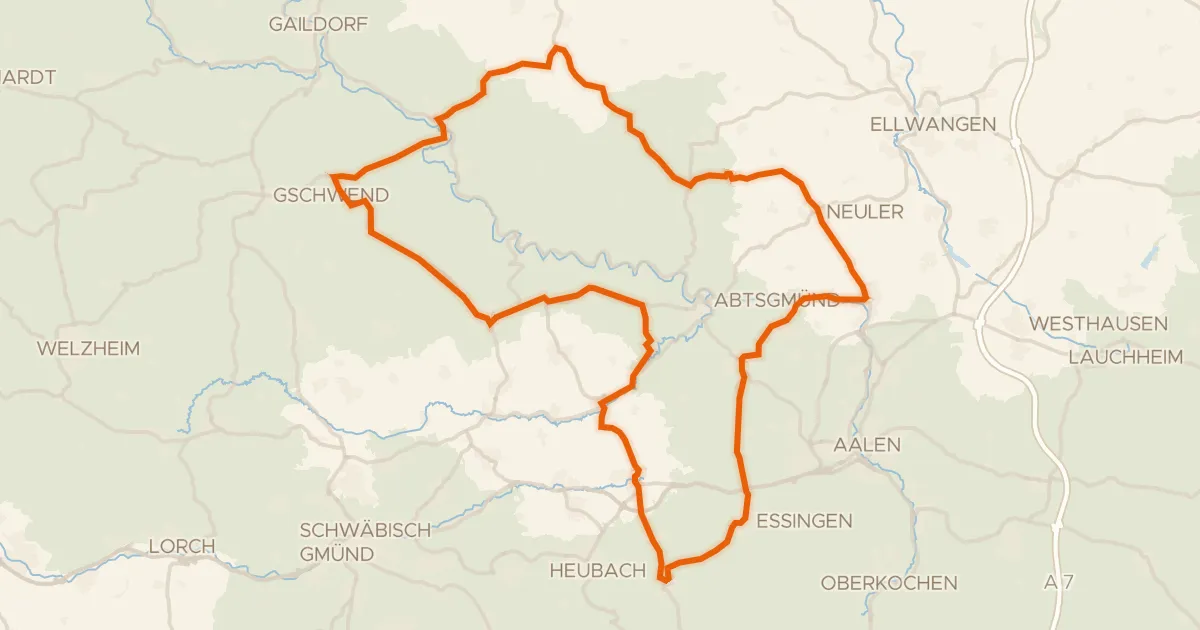
Road bike99% paved
Rondje langs de Kocher en Lein
89 km↑ 1,170 m19 km away
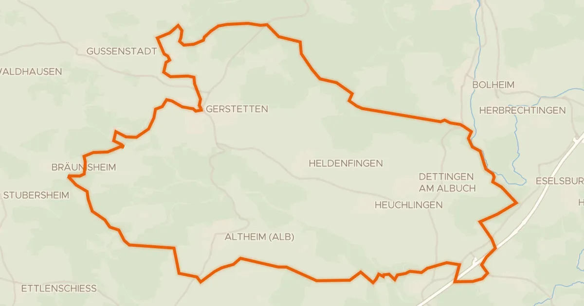
Gravel17% paved
Rondje ehem. Burg Falkenstein en Eselsburger Tal
61 km↑ 677 m19 km away