Back to the librarykm 20–26km 31–36km 41–44km 46–51km 52–53km 59–60km 67–74
Road bikeMade by RouteCasterRound trip
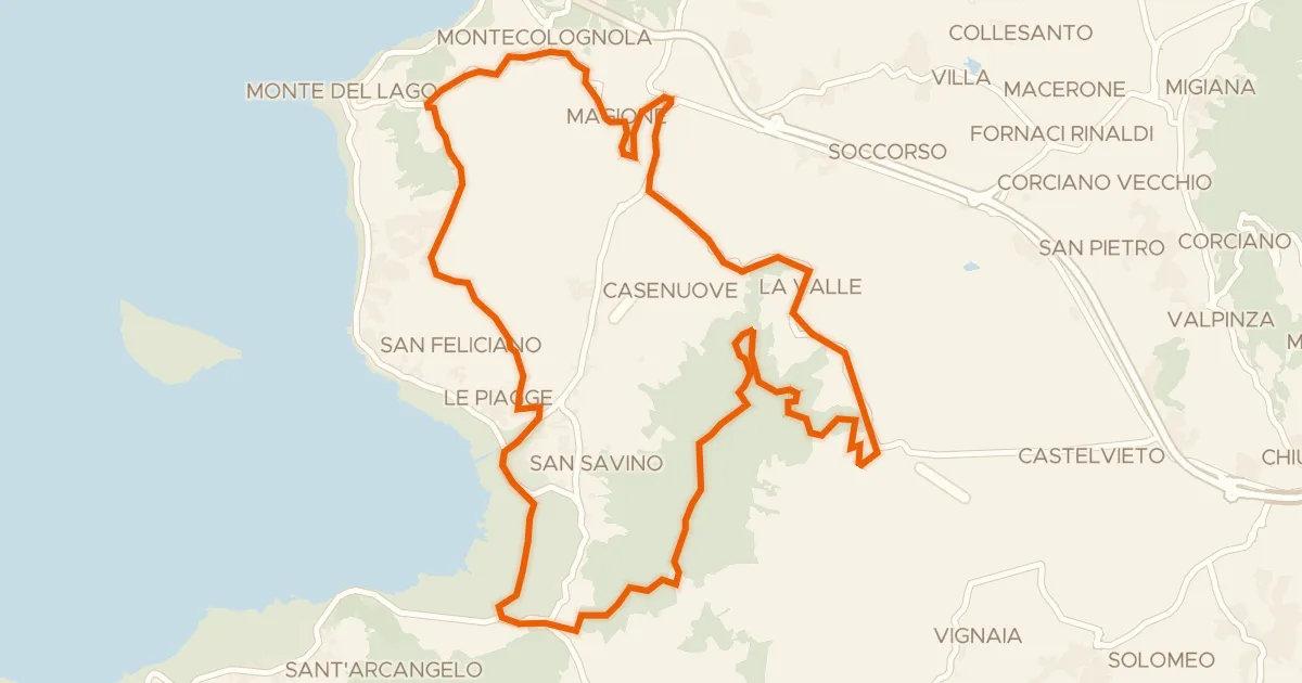
Climbs between Piegaro and Montegabbione
Distance
80 km
Ascent
1,755 m
Highest point
609 m
100% paved
Start from your location
Ride there from home: we find the shortest way to the loop and start the loop from there.
The ride
This ride rolls out of San Venanzo and back again, covering 79.7 km with 1755 m of climbing along the way. The route is fully paved, so you can settle in and enjoy the spin past the Nestore river before the road rises toward the castle of Montegiove. With that much elevation packed into the loop, the legs will know they've been out. Start and finish in the same village, and let the climbing do the talking.
Climbs
Climb 1Cat. 3
5.8 km at 3.6% · max 14.8%
Climb 2Cat. 2
5.7 km at 6.5% · max 18.9%
Climb 3Cat. 3
2.5 km at 6.7% · max 18.4%
Climb 4Cat. 3
4.7 km at 4.6% · max 16.9%
Climb 5Hill
1.6 km at 3.9% · max 8%
Climb 6Cat. 4
1.6 km at 7.2% · max 11.3%
Climb 7Cat. 3
6.5 km at 4.1% · max 22.1%
Routes nearby

Gravel34% paved
Langs de Tevere en de Fiume Chiascio
63 km↑ 1,015 m21 km away

Road bike100% paved
Rondje Castello di Casigliano en Monti Amerini
68 km↑ 1,250 m22 km away

Gravel46% paved
Rondje Parco Regionale del Monte Subasio en Fiume Topino
58 km↑ 1,096 m28 km away
Gravel61% paved
I sette Monti
31 km↑ 610 m28 km away

Road bike97% paved
Langs de Tevere en het Parco Regionale del Monte Subasio
80 km↑ 1,095 m29 km away

Gravel53% paved
Langs de Fiume Topino en de Fiume Clitunno
64 km↑ 919 m31 km away