Back to the librarykm 21–27km 30–31km 33–34km 37–39
GravelMade by RouteCasterRound trip
Rondje Parco Regionale del Monte Subasio en Fiume Topino
Distance
58 km
Ascent
1,096 m
Highest point
667 m
46% paved
Start from your location
Ride there from home: we find the shortest way to the loop and start the loop from there.
The ride
Roll out of San Vitale and let the route carry you toward the Parco Regionale del Monte Subasio, a nature reserve that sets the tone for the day. From there the road leads on to the Fiume Topino, a river crossing that marks the outward leg before you turn for home. With 57.6 km under your wheels and a mix of paved and unpaved surface, the ride keeps you honest on the climbs. Back into San Vitale, you'll have earned whatever comes next.
Climbs
Climb 1Cat. 2
6 km at 7.5% · max 24.1%
Climb 2Hill
0.9 km at 7.3% · max 17.2%
Climb 3Cat. 4
1.4 km at 6.6% · max 19.7%
Climb 4Cat. 3
1.9 km at 9.6% · max 25.9%
Routes nearby

Road bike100% paved
Rondje Rocca Minore en Parco Regionale del Monte Subasio
76 km↑ 1,476 m8 km away

Road bike97% paved
Langs de Tevere en het Parco Regionale del Monte Subasio
80 km↑ 1,095 m9 km away

Gravel34% paved
Langs de Tevere en de Fiume Chiascio
63 km↑ 1,015 m17 km away
Road bike100% paved
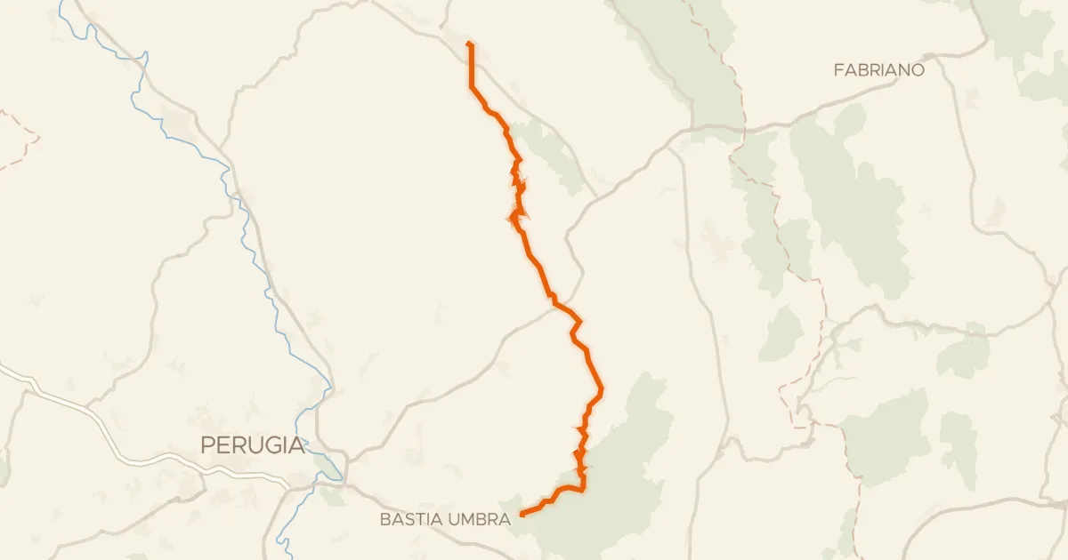
ABT Tappa 13: Gubbio - Assisi
49 km↑ 1,146 m18 km away
Gravel65% paved
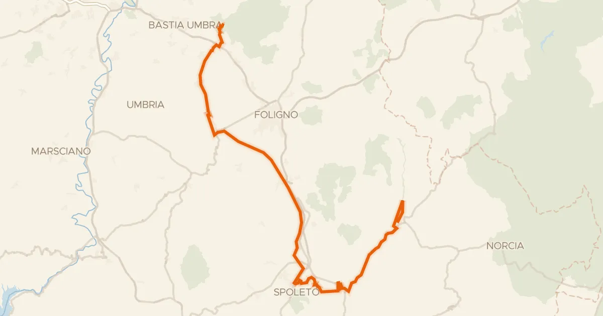
ABT Tappa 14: Assisi - Cerreto di Spoleto
90 km↑ 1,300 m19 km away

Gravel53% paved
Langs de Fiume Topino en de Fiume Clitunno
64 km↑ 919 m19 km away