Back to the librarykm 8–10km 11–11km 17–22
GravelMade by RouteCasterRound trip
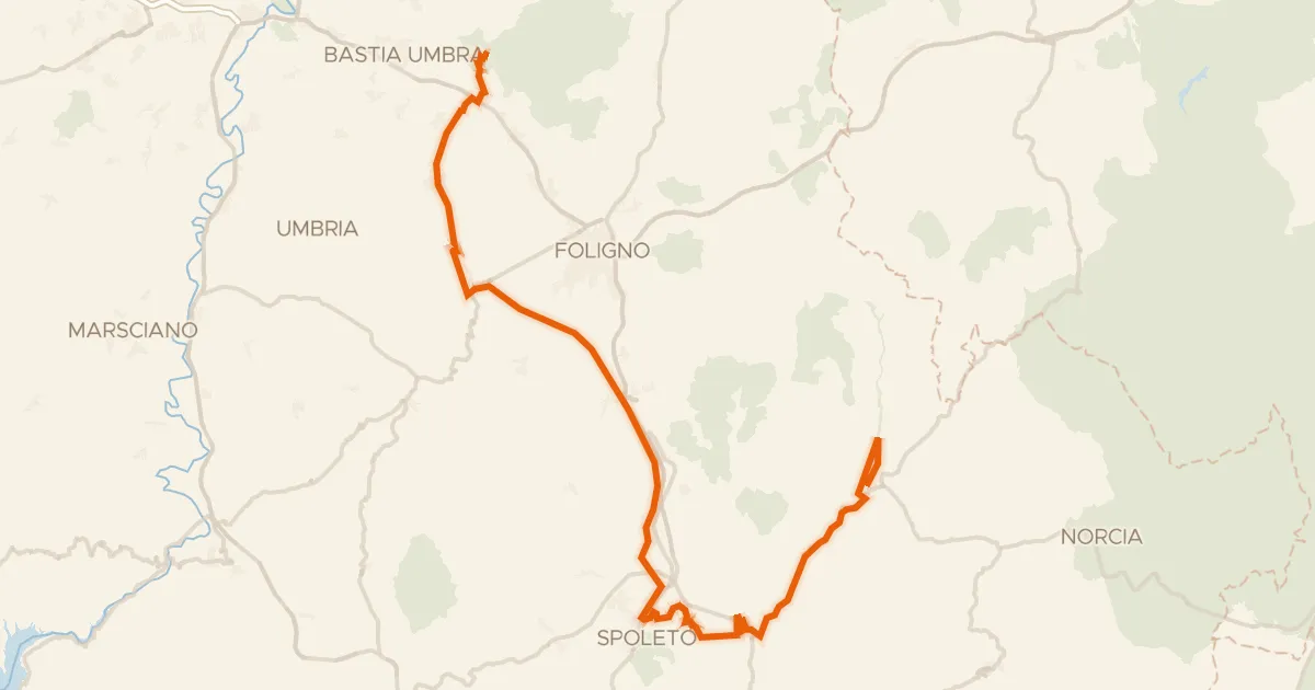
Langs de Fiume Topino en de Fiume Clitunno
Distance
64 km
Ascent
919 m
Highest point
794 m
53% paved
Start from your location
Ride there from home: we find the shortest way to the loop and start the loop from there.
The ride
From Bevagna the route rolls out for 63.6 km, mixing paved and unpaved riding along the way. You pass the river Fiume Clitunno, then follow on to the Fiume Topino, both rivers marking the rhythm of the day. With 919 m of climbing spread across the loop, the legs get a steady workout between the water and the hills. The ride then turns back to close the circle in Bevagna.
Climbs
Climb 1Cat. 4
1.6 km at 8.6% · max 14.1%
Climb 2Hill
0.4 km at 7.2% · max 10.1%
Climb 3Cat. 2
5.1 km at 8.6% · max 26%
Routes nearby

Gravel46% paved
Rondje Parco Regionale del Monte Subasio en Fiume Topino
58 km↑ 1,096 m8 km away
Gravel65% paved
ABT Tappa 14: Assisi - Cerreto di Spoleto
90 km↑ 1,300 m12 km away

Road bike97% paved
Langs de Tevere en het Parco Regionale del Monte Subasio
80 km↑ 1,095 m14 km away

Road bike100% paved
Langs de Fiume Topino en de Fiume Menotre
68 km↑ 1,024 m15 km away

Road bike100% paved
Rondje Rocca Minore en Parco Regionale del Monte Subasio
76 km↑ 1,476 m16 km away

Gravel34% paved
Langs de Tevere en de Fiume Chiascio
63 km↑ 1,015 m17 km away