Back to the librarykm 7–8km 9–9km 19–23km 23–24km 25–25km 50–52
GravelMade by RouteCasterRound trip
Langs de Tevere en de Fiume Chiascio
Distance
63 km
Ascent
1,015 m
Highest point
624 m
34% paved
Start from your location
Ride there from home: we find the shortest way to the loop and start the loop from there.
The ride
From Torgiano you roll out to the Chiascio river, then follow the Topino, and later meet the Tevere. Of the 62.8 km, most runs unpaved, with 1015 m of climbing along the way. Three rivers, one loop, and back to where you started.
Climbs
Climb 1Hill
1.3 km at 3.7% · max 9.4%
Climb 2Hill
0.8 km at 5.7% · max 9.9%
Climb 3Cat. 3
3.9 km at 8% · max 31.6%
Climb 4Hill
0.9 km at 8.4% · max 17.4%
Climb 5Hill
0.4 km at 6.5% · max 13.5%
Climb 6Hill
1.4 km at 3.8% · max 16.1%
Routes nearby

Road bike97% paved
Langs de Tevere en het Parco Regionale del Monte Subasio
80 km↑ 1,095 m8 km away

Gravel46% paved
Rondje Parco Regionale del Monte Subasio en Fiume Topino
58 km↑ 1,096 m11 km away
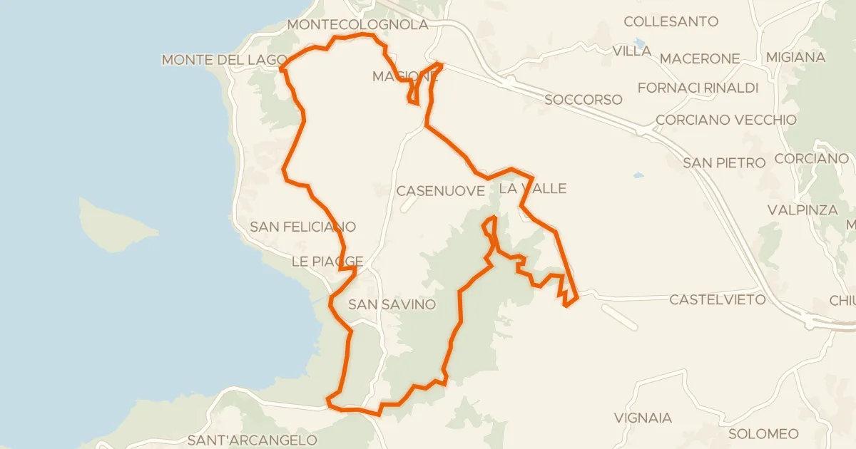
Gravel61% paved
I sette Monti
31 km↑ 610 m21 km away

Road bike100% paved
Rondje Castello di Polgeto en La Rocca
80 km↑ 1,291 m21 km away

Road bike100% paved
Rondje Castello di Montegiove en Fiume Nestore
80 km↑ 1,755 m22 km away
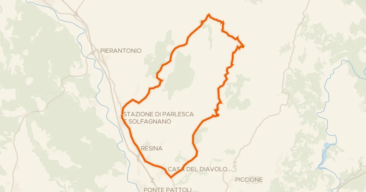
Touring
Castiglione Aldobrando
38 km↑ 1,021 m23 km away