Back to the librarykm 17–18km 64–68
Road bikeMade by RouteCasterRound trip
Langs de Fiume Topino en de Fiume Menotre
Distance
68 km
Ascent
1,024 m
Highest point
942 m
100% paved
Start from your location
Ride there from home: we find the shortest way to the loop and start the loop from there.
The ride
Roll out of Verchiano and follow the water: first the Clitunno river, then the Topino, then the Menotre, each one ticking by as the road stays paved the whole way round. The climb adds up to 1024 m of elevation gain, and the castle ruins of the Trinci at Rasiglia give you a marker before the route turns for home. Back to Verchiano where it began.
Climbs
Climb 1Hill
0.9 km at 6.9% · max 12%
Climb 2Cat. 3
4.2 km at 4.8% · max 20.3%
Routes nearby
Gravel65% paved
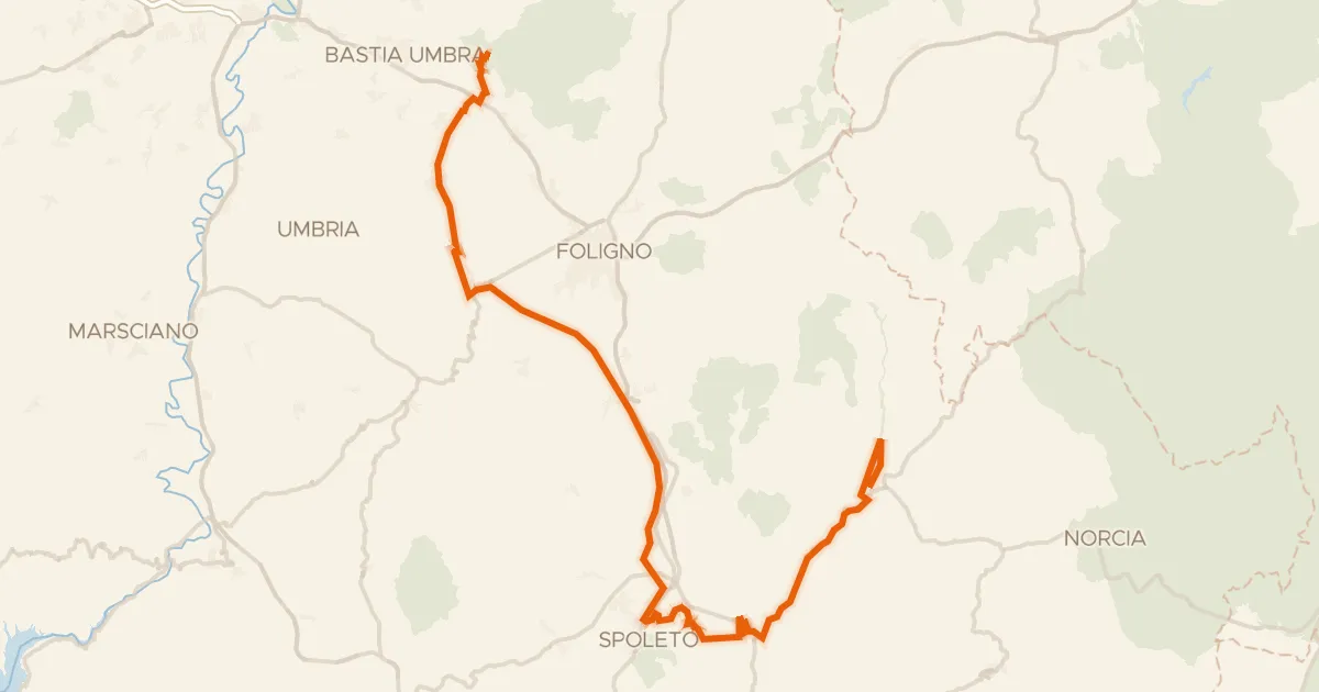
ABT Tappa 14: Assisi - Cerreto di Spoleto
90 km↑ 1,300 m12 km away

Road bike100% paved
Rondje Rocca Minore en Parco Regionale del Monte Subasio
76 km↑ 1,476 m16 km away

Gravel4% paved
Rondje Piana di Pioraco en Piani di Montelago
56 km↑ 3,065 m19 km away

Gravel53% paved
Langs de Fiume Topino en de Fiume Clitunno
64 km↑ 919 m21 km away
Touring94% paved
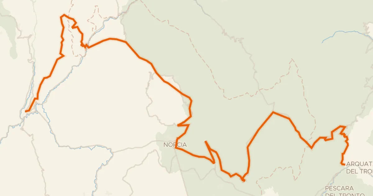
ABT Tappa 15: Cerreto di Spoleto - Arquata del Tronto
87 km↑ 2,591 m23 km away
Forca di Presta · Forca di Ancarano

Gravel46% paved
Rondje Parco Regionale del Monte Subasio en Fiume Topino
58 km↑ 1,096 m27 km away