Back to the librarykm 15–16km 17–17km 18–20km 26–27km 31–32km 51–54km 55–56km 57–61km 64–65
Road bikeMade by RouteCasterRound trip
Rondje Castello di Casigliano en Monti Amerini
Distance
68 km
Ascent
1,250 m
Highest point
564 m
100% paved
Start from your location
Ride there from home: we find the shortest way to the loop and start the loop from there.
The ride
This ride rolls out of Massa Martana and back again, covering 67.7 km with 1250 m of climbing along the way. You pedal past the castle of Castello di Casigliano, then on through the Monti Amerini nature reserve before turning for home. The surface stays paved the whole way round, so the climbing is where the character comes from. Start and finish in the same village, with a castle and a nature reserve in between.
Climbs
Climb 1Hill
1.3 km at 4.3% · max 12.1%
Climb 2Hill
0.7 km at 6.1% · max 7.2%
Climb 3Hill
2.1 km at 3.4% · max 8.8%
Climb 4Hill
1.2 km at 3.8% · max 7.3%
Climb 5Hill
1.5 km at 3.2% · max 10.9%
Climb 6Cat. 4
2.8 km at 4.5% · max 16.5%
Climb 7Cat. 4
1.1 km at 8.9% · max 14.2%
Climb 8Cat. 3
3.9 km at 6.5% · max 19.4%
Climb 9Hill
1.1 km at 5.4% · max 12.5%
Routes nearby

Gravel53% paved
Langs de Fiume Topino en de Fiume Clitunno
64 km↑ 919 m15 km away

Gravel18% paved
Rondje Monti Amerini en Bacino del Rio Grande
59 km↑ 1,611 m18 km away
Road bike98% paved
Grand Tour Rando Standard
202 km↑ 3,953 m21 km away
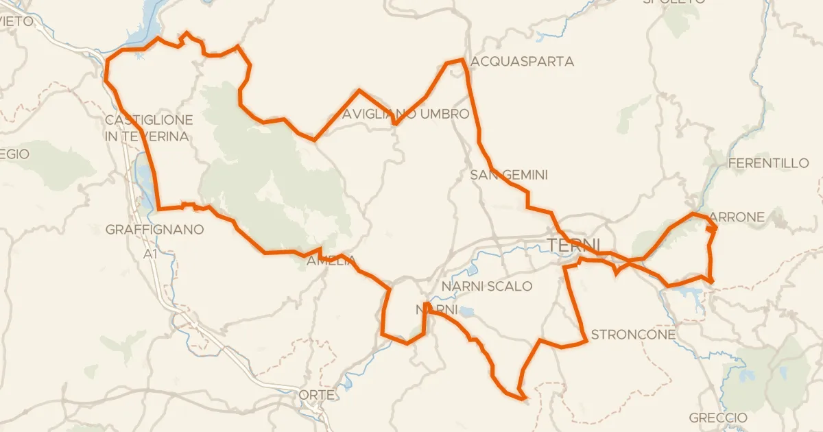
Forca di Arrone

Road bike100% paved
Rondje Castello di Giove en Lago di Alviano
74 km↑ 1,375 m23 km away
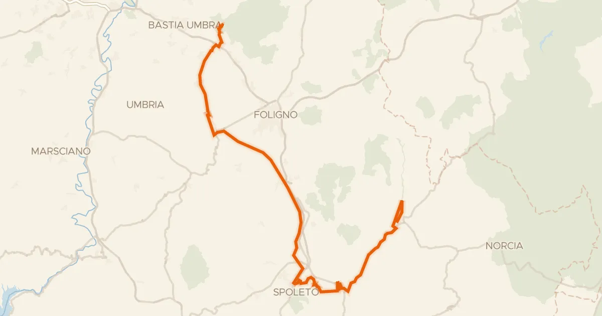
Gravel65% paved
ABT Tappa 14: Assisi - Cerreto di Spoleto
90 km↑ 1,300 m24 km away

Gravel46% paved
Rondje Parco Regionale del Monte Subasio en Fiume Topino
58 km↑ 1,096 m25 km away