Back to the librarykm 2–2km 3–11km 12–13km 13–18km 19–21km 25–26km 26–26km 26–27km 32–33km 38–39km 40–43km 49–54
GravelMade by RouteCasterRound trip
Waterside route between Lasalle and Monoblet
Distance
57 km
Ascent
1,973 m
Highest point
939 m
22% paved
Start from your location
Ride there from home: we find the shortest way to the loop and start the loop from there.
The ride
Roll out of Saint-Hippolyte-du-Fort and the climbing begins, with 1973 m of elevation gain waiting across the route. The surface splits between paved and unpaved, so the bike will see plenty of both. Along the way you pass the Vidourle river, then the Salindrenque river, before the road turns you back toward the start. It's a loop that keeps you working and keeps the scenery changing.
Climbs
Climb 1Hill
0.8 km at 3.4% · max 10.5%
Climb 2Cat. 2
7.7 km at 6.2% · max 22.1%
Climb 3Cat. 4
1 km at 8.2% · max 16.4%
Climb 4Cat. 3
4.4 km at 5.8% · max 28.3%
Col de LougarèsHill
1.1 km at 6.3% · max 21%
Climb 6Cat. 4
0.7 km at 12.5% · max 21.8%
Climb 7Hill
0.4 km at 10.7% · max 25%
Climb 8Hill
0.5 km at 11.6% · max 21.1%
Climb 9Hill
0.9 km at 4.2% · max 7.3%
Climb 10Cat. 4
0.8 km at 13.5% · max 28.2%
Climb 11Cat. 3
2.4 km at 8% · max 20.2%
Climb 12Cat. 3
4.4 km at 4.7% · max 22%
Routes nearby

Road bike100% paved
Rondje Château de Brissac en L'Hérault
76 km↑ 931 m13 km away

Road bike100% paved
Rondje La Salindrenque en Le Gardon de Saint-Jean
71 km↑ 918 m15 km away
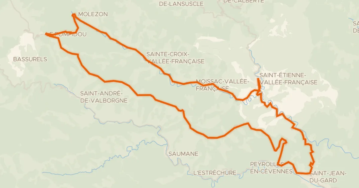
Road bike100% paved
La Corniche des Cévennes et la Vallée Française
66 km↑ 1,518 m23 km away
Col de l'Exil · Col Saint-Pierre

Road bike100% paved
Langs Le Gardon de Mialet en Le Gardon de Sainte-Croix
71 km↑ 2,079 m24 km away

Gravel5% paved
Rondje Point de vue Max Nègre en L'Hérault
59 km↑ 1,971 m30 km away

Road bike100% paved
Rondje Château de Roquedols en Le Tarnon
70 km↑ 1,811 m36 km away