Back to the librarykm 1–2km 2–2km 16–27km 36–38km 44–44km 56–57km 62–63km 65–66
Road bikeRound trip
La Corniche des Cévennes et la Vallée Française
Distance
66 km
Ascent
1,518 m
Highest point
857 m
100% paved
Start from your location
Ride there from home: we find the shortest way to the loop and start the loop from there.
The ride
Here's a 66.5 km ride with 1518 m of climbing, and every metre of it is paved — 100% paved, 0% unpaved. Along the way you pass the Col de l'Exil, Col Saint-Pierre and Col de Lamira. Three cols, one route, all on asphalt. Enjoy the climbing.
Passes
Col de l'ExilCol Saint-PierreCol de Lamira
Climbs
Climb 1Hill
0.5 km at 5.7% · max 11.6%
Climb 2Hill
0.4 km at 7.4% · max 13.4%
Climb 3Cat. 2
11.4 km at 4.1% · max 20.4%
Col de l'ExilHill
2.3 km at 3.3% · max 12.9%
Col Saint-PierreHill
0.4 km at 6.4% · max 14.6%
Climb 6Hill
0.5 km at 5.2% · max 15.7%
Climb 7Hill
1 km at 3.4% · max 10.6%
Climb 8Hill
0.6 km at 6.6% · max 18.3%
Routes nearby
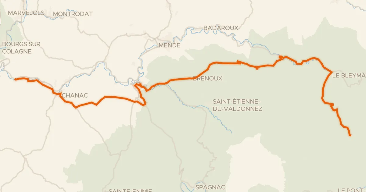
Touring87% paved
La Vallée du Lot à vélo
66 km↑ 1,895 m42 km away
Col de Finiels · Col de la Loubière
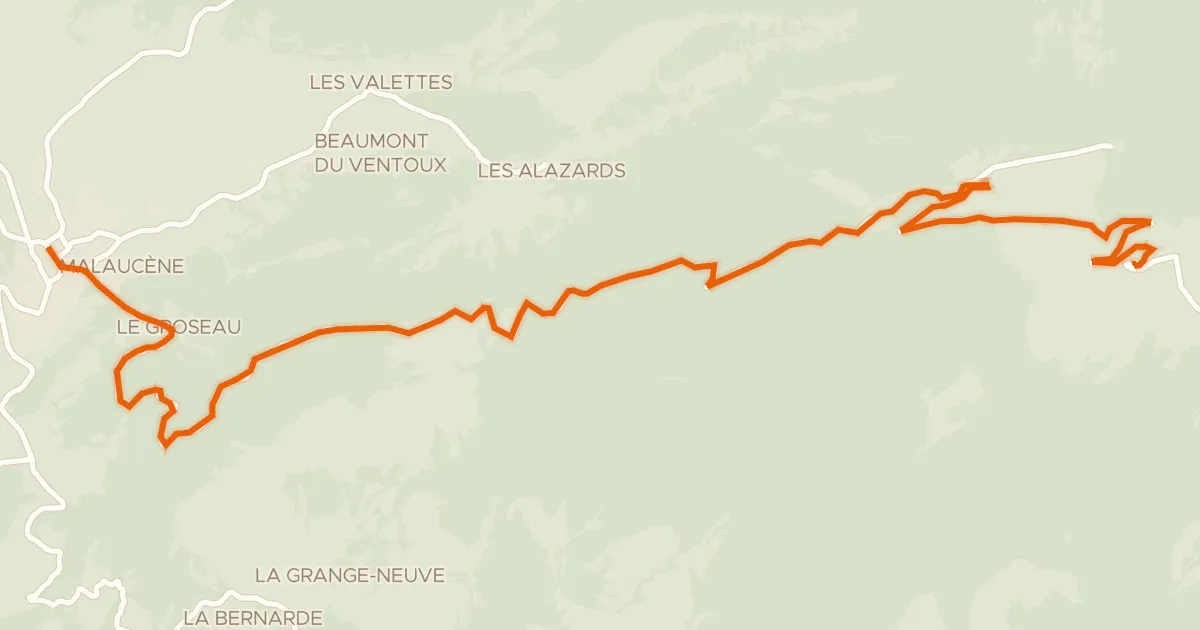
Road bike100% paved
Ascension du Mont-Ventoux depuis Malaucène
22 km↑ 1,614 m109 km away
Mont Ventoux
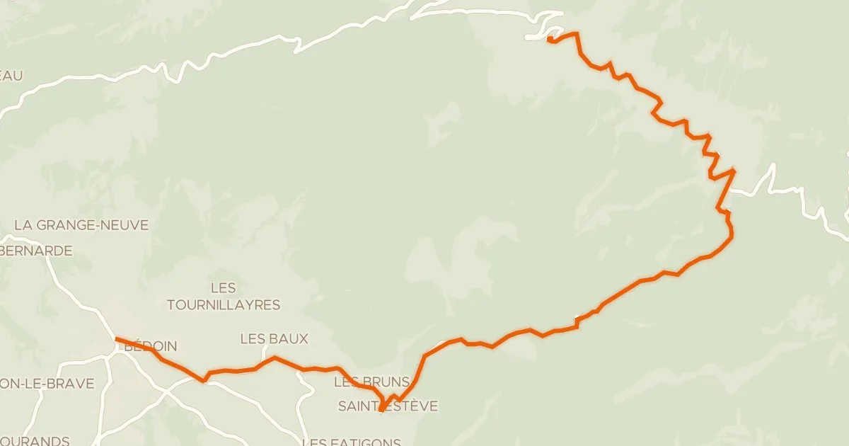
Road bike100% paved
Ascension du Mont-Ventoux depuis Bédoin
21 km↑ 1,600 m112 km away
Mont Ventoux · Col des Tempêtes
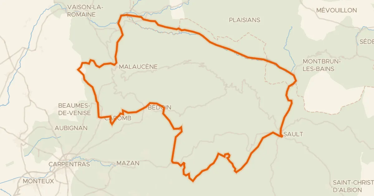
Road bike99% paved
Le tour du Ventoux à vélo
117 km↑ 2,415 m113 km away
Col de Suzette · Col de Veaux
Road bike100% paved
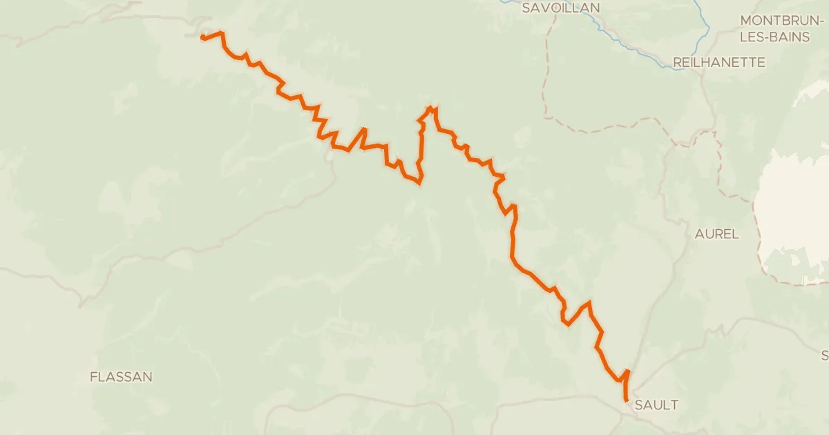
Ascension du Mont-Ventoux depuis Sault
26 km↑ 1,340 m120 km away
Mont Ventoux · Col des Tempêtes
Road bike99% paved
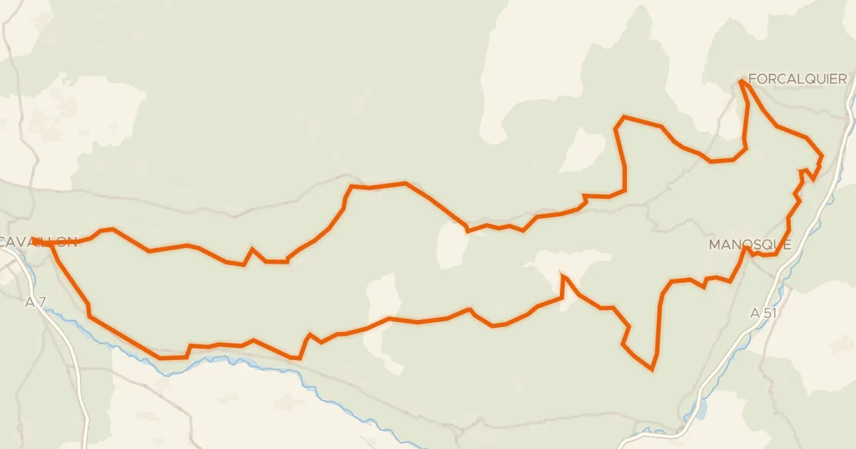
Autour du Luberon à vélo (itinéraire orange)
238 km↑ 3,587 m134 km away