Back to the librarykm 0–2km 2–6km 28–33km 43–48km 55–57km 57–59km 61–67
Road bikeMade by RouteCasterRound trip
Rondje Château de Roquedols en Le Tarnon
Distance
70 km
Ascent
1,811 m
Highest point
1,515 m
100% paved
Start from your location
Ride there from home: we find the shortest way to the loop and start the loop from there.
The ride
From L'Espérou you roll out through the Cévennes national park, with the Tarnon, the Brèze and the Béthuzon rivers marking the way. The route climbs steadily to 1811 m of elevation gain, all on paved roads. Past the castle of Roquedols the road turns for home, back to where you started. A loop that keeps the legs working and the scenery changing.
Climbs
Climb 1Cat. 4
2 km at 5.1% · max 11.5%
Climb 2Cat. 3
3.9 km at 5.1% · max 16.1%
Col de PerjuretCat. 3
4.7 km at 6.7% · max 19.4%
Climb 4Cat. 3
5.1 km at 6.1% · max 27.3%
Climb 5Hill
1.8 km at 3.5% · max 17.8%
Climb 6Cat. 4
2.2 km at 3.7% · max 13%
Col de FaubelCat. 3
5.8 km at 3.3% · max 13.4%
Routes nearby

Road bike100% paved
Langs La Dourbie en Le Trèvezel
76 km↑ 1,634 m11 km away
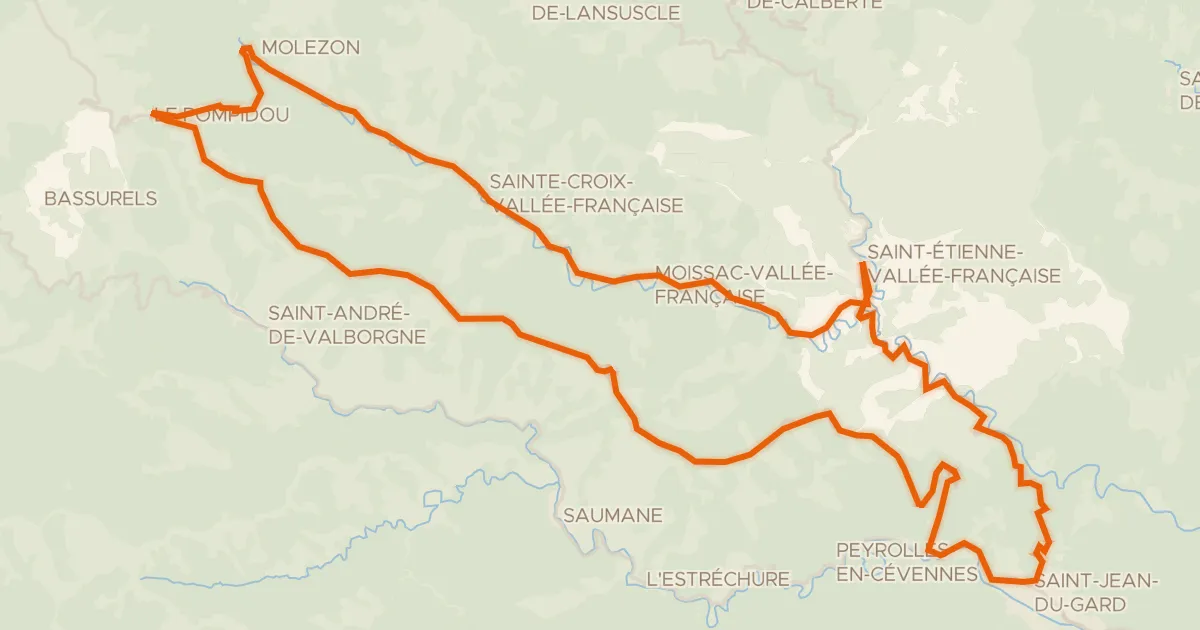
Road bike100% paved
La Corniche des Cévennes et la Vallée Française
66 km↑ 1,518 m19 km away
Col de l'Exil · Col Saint-Pierre

Gravel18% paved
Rondje Château de Florac en Le Tarnon
60 km↑ 1,975 m22 km away

Gravel22% paved
Rondje La Salindrenque en Le Vidourle
57 km↑ 1,973 m24 km away

Road bike100% paved
Rondje Château de Brissac en L'Hérault
76 km↑ 931 m29 km away

Road bike100% paved
Langs Le Gardon de Mialet en Le Gardon de Sainte-Croix
71 km↑ 2,079 m31 km away