Back to the librarykm 0–2km 5–9km 17–20km 21–22km 28–31km 35–36km 43–43km 44–44km 45–52km 53–53
GravelMade by RouteCasterRound trip
Rondje Château de Florac en Le Tarnon
Distance
60 km
Ascent
1,975 m
Highest point
1,150 m
18% paved
Start from your location
Ride there from home: we find the shortest way to the loop and start the loop from there.
The ride
From Vebron the route rolls out along the Tarnon river and into the heart of the Parc national des Cévennes, a nature reserve. Two castles follow: Salgas and Florac, with the Mimente river on the way. Of the 60.0 km, most runs unpaved, and the climbing adds up to 1975 m before you're back in Vebron.
Climbs
Climb 1Cat. 3
2.4 km at 11.2% · max 36%
Climb 2Cat. 2
4 km at 12.7% · max 66.4%
Climb 3Cat. 4
2.9 km at 3.3% · max 8.5%
Climb 4Hill
1.8 km at 3.8% · max 12.3%
Climb 5Cat. 4
2.5 km at 4% · max 9.8%
Climb 6Cat. 4
1.2 km at 9.1% · max 20%
Climb 7Hill
0.6 km at 5% · max 12.2%
Climb 8Cat. 4
0.5 km at 20.1% · max 30.4%
Climb 9Cat. 2
6.8 km at 5.5% · max 22.4%
Climb 10Hill
0.9 km at 4% · max 12%
Routes nearby

Road bike100% paved
Rondje Château de Roquedols en Le Tarnon
70 km↑ 1,811 m11 km away
Road bike100% paved
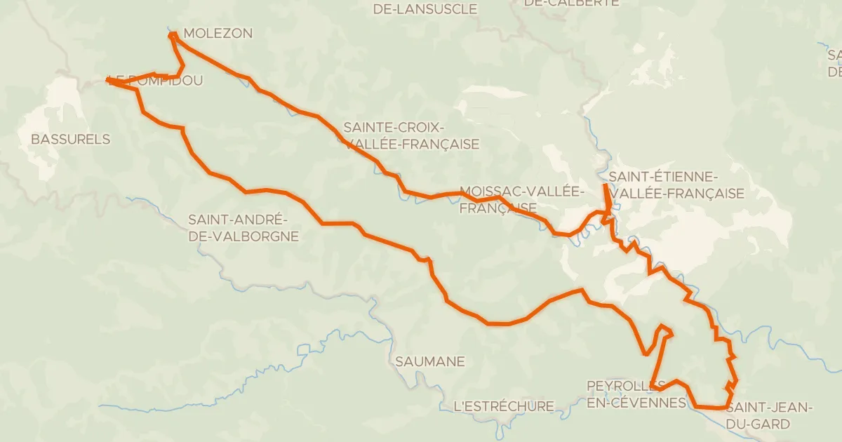
La Corniche des Cévennes et la Vallée Française
66 km↑ 1,518 m18 km away
Col de l'Exil · Col Saint-Pierre

Road bike100% paved
Langs La Dourbie en Le Trèvezel
76 km↑ 1,634 m23 km away
Touring87% paved
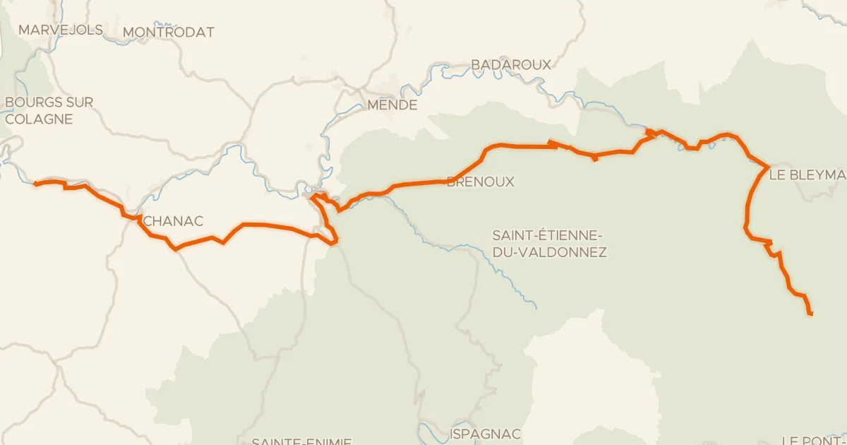
La Vallée du Lot à vélo
66 km↑ 1,895 m26 km away
Col de Finiels · Col de la Loubière

Road bike100% paved
Langs Le Gardon de Mialet en Le Gardon de Sainte-Croix
71 km↑ 2,079 m29 km away

Gravel22% paved
Rondje La Salindrenque en Le Vidourle
57 km↑ 1,973 m31 km away