Back to the librarykm 1–7km 9–12km 14–15km 34–37km 37–41km 41–41km 41–43km 49–50km 51–52km 52–53km 55–56km 57–58km 60–61km 64–71
Road bikeMade by RouteCasterRound trip
Langs Le Gardon de Mialet en Le Gardon de Sainte-Croix
Distance
71 km
Ascent
2,079 m
Highest point
811 m
100% paved
Start from your location
Ride there from home: we find the shortest way to the loop and start the loop from there.
The ride
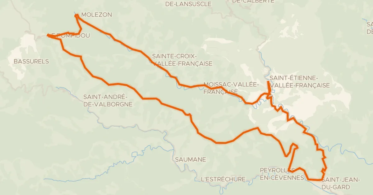
This loop sets off from Saint-Germain-de-Calberte and follows the water, riding past the river Le Galeizon before reaching the Gardon de Mialet. Next come the Gardon de Sainte-Croix and the Gardon de Saint-Martin, each one a river crossed on the way round. The 71.2 km route is fully paved, and the climbing adds up to 2079 m before the road brings you back to the village where you started.
Climbs
Col du Serre de PradelCat. 2
6.5 km at 6.6% · max 31.2%
Climb 2Cat. 4
2.8 km at 5.4% · max 15.8%
Climb 3Hill
0.9 km at 3.3% · max 11.1%
Climb 4Cat. 3
3.1 km at 5.7% · max 15.6%
Climb 5Cat. 4
3.4 km at 4% · max 15.3%
Climb 6Hill
0.5 km at 6% · max 16.9%
Col d'UglasHill
1.7 km at 4.1% · max 19.1%
Climb 8Cat. 4
1.5 km at 5.7% · max 17.3%
Col de LamiraHill
0.9 km at 5.8% · max 14%
Climb 10Hill
0.6 km at 5.7% · max 15.6%
Climb 11Hill
0.8 km at 4.7% · max 16.7%
Climb 12Hill
0.8 km at 4.3% · max 13.1%
Climb 13Hill
0.6 km at 6.4% · max 16.3%
Climb 14Cat. 3
6.2 km at 4% · max 21.7%
Routes nearby
Road bike100% paved
La Corniche des Cévennes et la Vallée Française
66 km↑ 1,518 m7 km away
Col de l'Exil · Col Saint-Pierre

Gravel18% paved
Rondje Château de Florac en Le Tarnon
60 km↑ 1,975 m21 km away

Gravel22% paved
Rondje La Salindrenque en Le Vidourle
57 km↑ 1,973 m22 km away

Road bike100% paved
Rondje La Salindrenque en Le Gardon de Saint-Jean
71 km↑ 918 m23 km away

Gravel18% paved
Rondje Le Luech en La Cèze
58 km↑ 2,399 m24 km away

Road bike100% paved
Rondje Château de Roquedols en Le Tarnon
70 km↑ 1,811 m26 km away