Back to the librarykm 2–3km 4–10km 50–54km 64–66km 67–68
Road bikeMade by RouteCasterRound trip
Rondje La Salindrenque en Le Gardon de Saint-Jean
Distance
71 km
Ascent
918 m
Highest point
419 m
100% paved
Start from your location
Ride there from home: we find the shortest way to the loop and start the loop from there.
The ride
Roll out of Anduze and follow the water: first the river L'Amous, then the Ruisseau de Crieulon, before the route bends toward La Salindrenque. The climbing adds up to 918 m over the day, and the road stays paved the whole way. Le Gardon de Saint-Jean is the last river on the list before the loop brings you back to Anduze.
Climbs
Climb 1Hill
1 km at 3.2% · max 17.8%
Climb 2Cat. 3
5.7 km at 3.2% · max 19.1%
Col de BaneCat. 3
4.5 km at 3.7% · max 11.6%
Climb 4Hill
1.5 km at 3.4% · max 15%
Climb 5Hill
0.6 km at 7.6% · max 12.6%
Routes nearby

Gravel22% paved
Rondje La Salindrenque en Le Vidourle
57 km↑ 1,973 m13 km away

Road bike100% paved
Langs Le Gardon de Mialet en Le Gardon de Sainte-Croix
71 km↑ 2,079 m14 km away
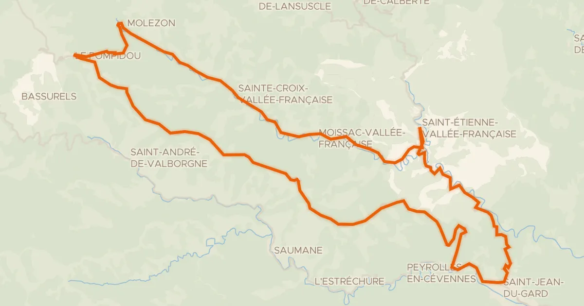
Road bike100% paved
La Corniche des Cévennes et la Vallée Française
66 km↑ 1,518 m20 km away
Col de l'Exil · Col Saint-Pierre

Road bike100% paved
Rondje Château de Brissac en L'Hérault
76 km↑ 931 m27 km away

Road bike95% paved
Rondje Bois de Païolive en La Cèze
71 km↑ 1,052 m31 km away

Gravel18% paved
Rondje Le Luech en La Cèze
58 km↑ 2,399 m32 km away