Back to the librarykm 20–22km 23–25km 53–54km 55–55
GravelRouteCasterRound trip
Rondje Vogelfreistätte Walk- und Gaisweiher en Muckental
Distance
58 km
Ascent
654 m
Highest point
562 m
25% paved
Start from your location
Ride there from home: we find the shortest way to the loop and start the loop from there.
The ride
Roll out of Stödtlen and let the kilometres unfold: the route runs 58.4 km, three quarters of it unpaved. First up is the Muckental nature reserve, then the Feuchtfläche bei der Buchmühle, before the Vogelfreistätte Walk- und Gaisweiher opens up. You climb 654 m along the way, and the Breitweiher mit Hilsenweiher nature reserve sees you before the road turns home to Stödtlen.
Climbs
Climb 1Hill
1.3 km at 4.3% · max 7.8%
Climb 2Hill
1.4 km at 3.1% · max 8%
Climb 3Hill
0.8 km at 4% · max 10%
Climb 4Hill
0.8 km at 3.2% · max 9.6%
Routes nearby
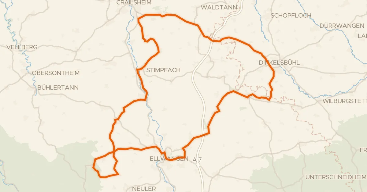
Road bike96% paved
Rondje Pfannenburg en Schloss Adelmannsfelden
92 km↑ 1,123 m11 km away
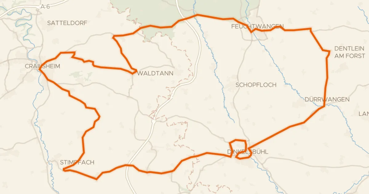
Road bike95% paved
Rondje langs de Jagst en Naturpark Frankenhöhe
92 km↑ 1,148 m13 km away
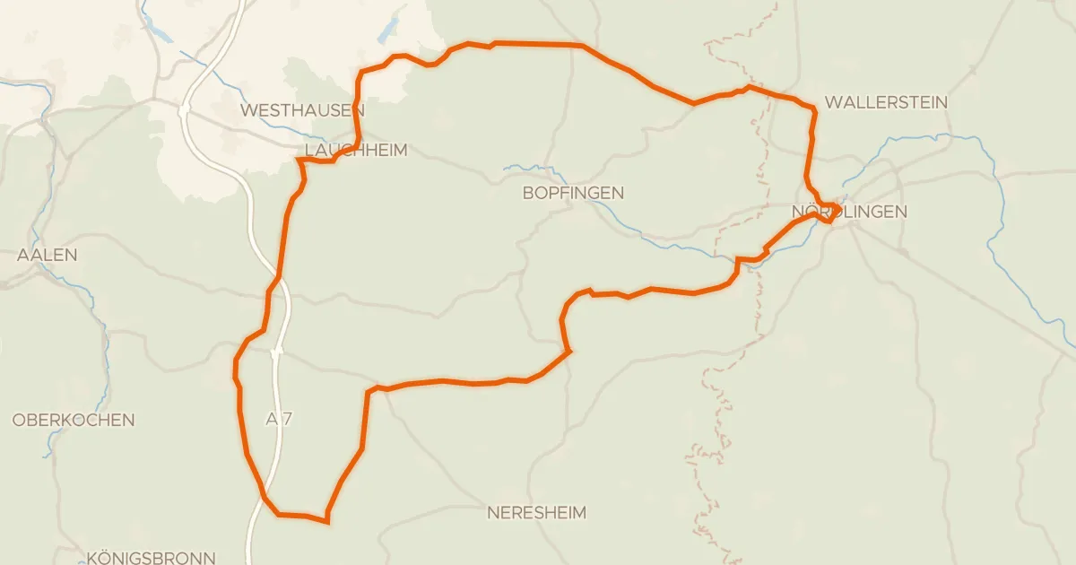
Road bike100% paved
Rondje Kapfenburg en Schloss Wallerstein
73 km↑ 790 m19 km away
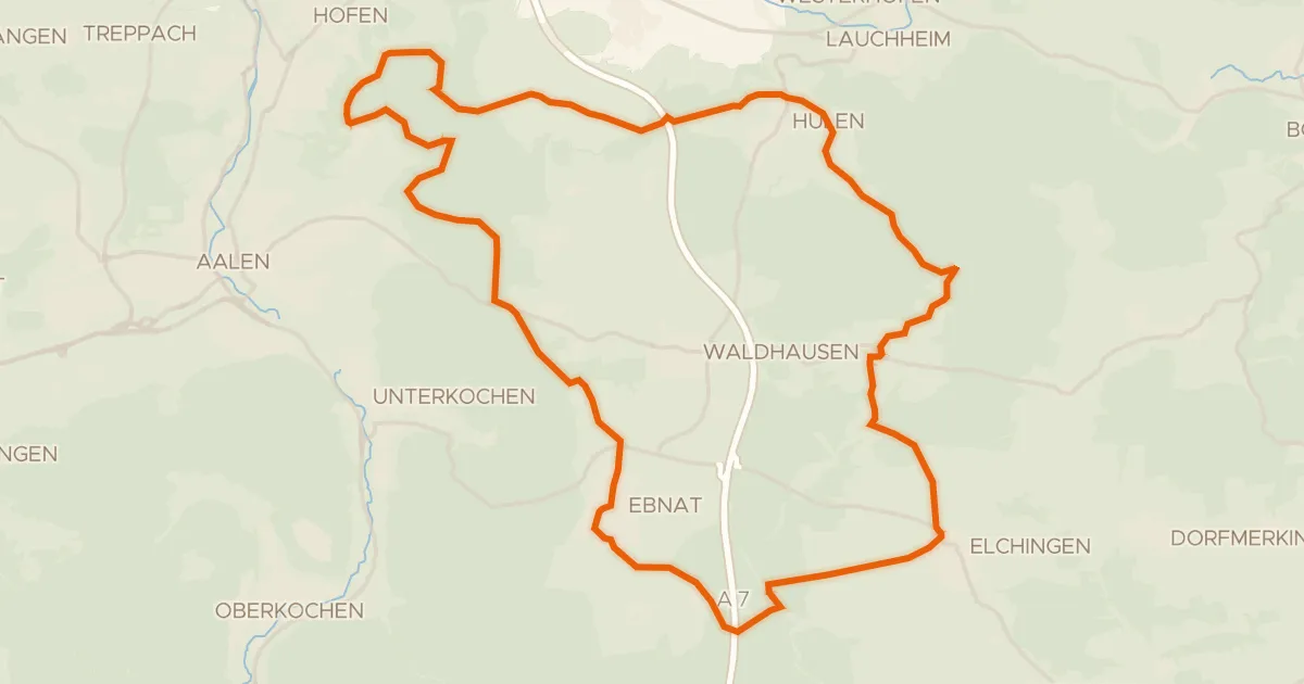
Gravel51% paved
Vom Braunenberg bis zu den Härtsfelder Trockentälern
41 km↑ 539 m21 km away
Wasserscheide Rhein/Donau · Vierwegzeiger
Road bike100% paved
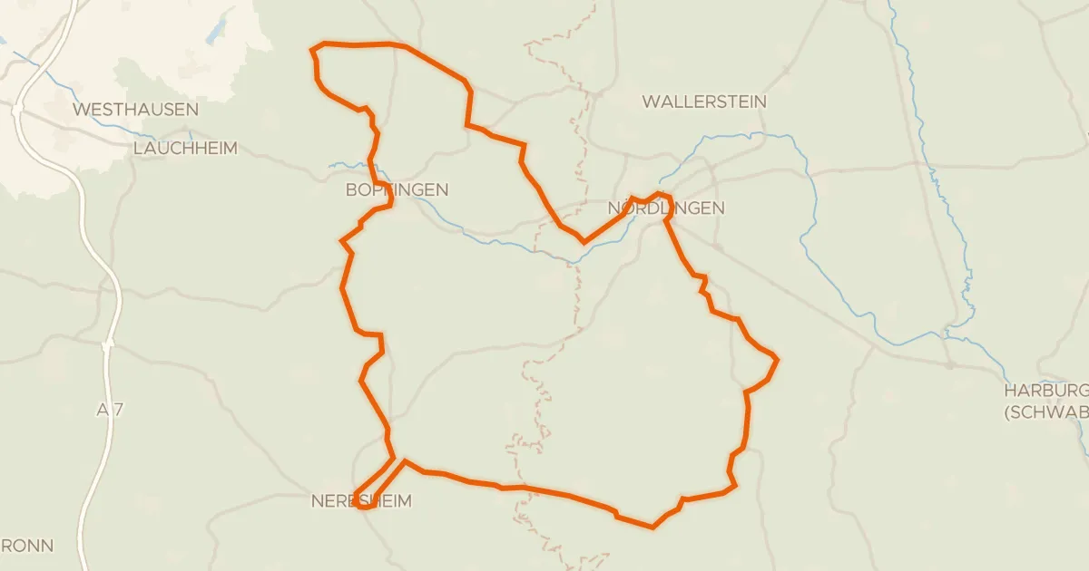
Rondje Schloss Hohenaltheim en Schloss Baldern
76 km↑ 867 m22 km away
Touring75% paved
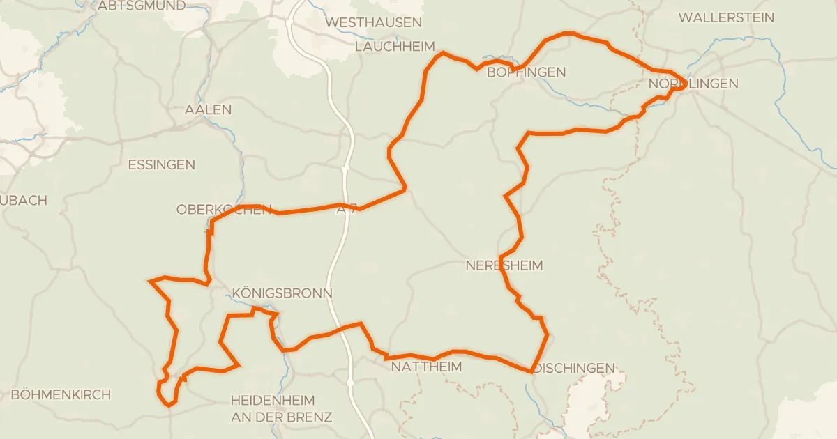
Radweg von Krater zu Krater West
130 km↑ 1,567 m25 km away
Wasserscheide Rhein/Donau