Back to the librarykm 2 · Aug 2026 · © kalcaaro / Mapillary, CC BY-SA km 30 · Feb 2026 · © derEntwickler / Mapillary, CC BY-SA km 58 · Aug 2026 · © kalcaaro / Mapillary, CC BY-SA km 90 · Nov 2025 · © bernd1960 / Mapillary, CC BY-SA km 7–13km 32–33km 33–35km 53–54km 63–69
Road bikeRouteCasterRound trip
Rondje Schloss Sayn en Malberg
Distance
96 km
Ascent
1,287 m
Highest point
467 m
100% paved
Start from your location
Ride there from home: we find the shortest way to the loop and start the loop from there.
The ride
Roll out from Parkeerplaats Irrlichtsweiher and let the route unfold: first past the Wölferlinger Weiher nature reserve, then the Tongrube Beckershaid and the Malberg. Further along come Burg Sayn and Schloss Sayn, two castles in a row, before the Hüttenweiher nature reserve. The loop runs 95.6 km, all of it paved, with 1287 m of climbing, and brings you back to where you started.
Along the way
Climbs
Climb 1Cat. 3
5.6 km at 3.4% · max 11.3%
Climb 2Hill
1 km at 3.6% · max 6.5%
Climb 3Hill
1.5 km at 3.7% · max 8.1%
Climb 4Hill
0.8 km at 3.2% · max 7.3%
Climb 5Cat. 3
6.2 km at 4.3% · max 12.7%
Routes nearby
Gravel48% paved
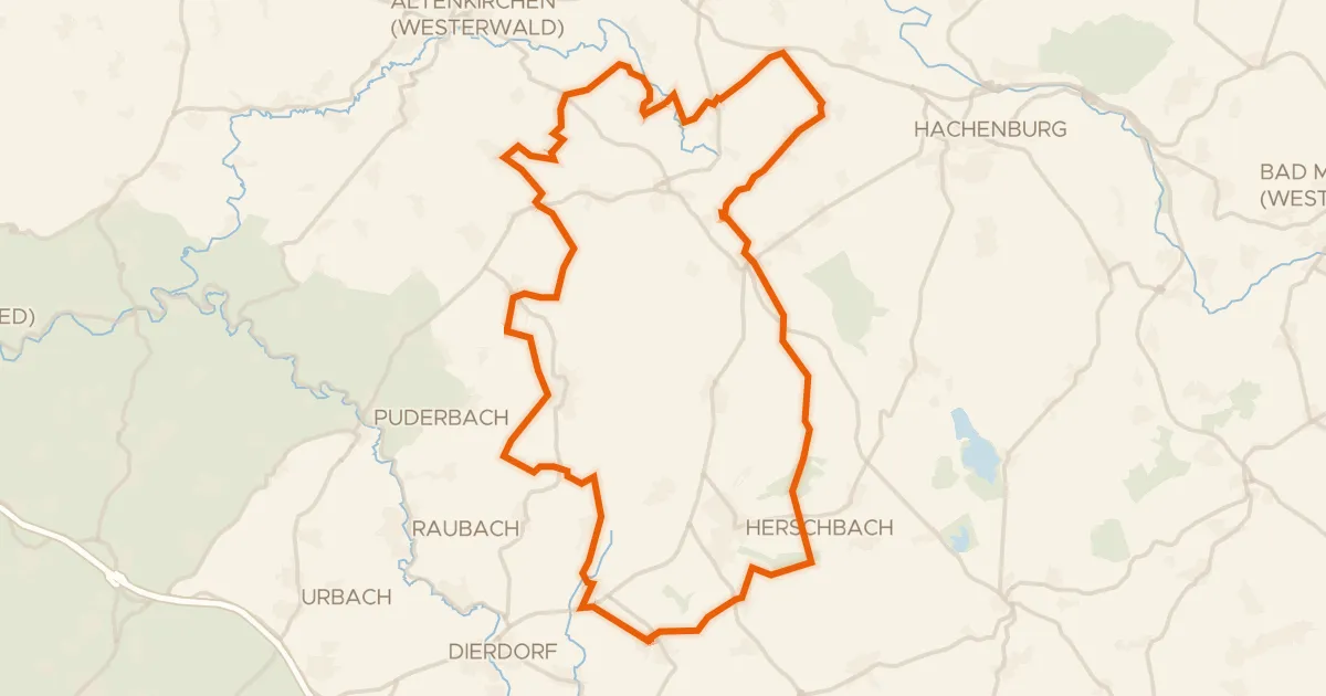
Rondje Holzbachtal en Schimmelsbachtal
58 km↑ 722 m5 km away
Gravel34% paved
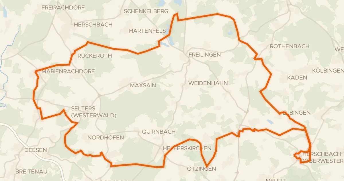
Rondje Dreifelder Weiher en Wölferlinger Weiher
64 km↑ 740 m8 km away
Gravel26% paved
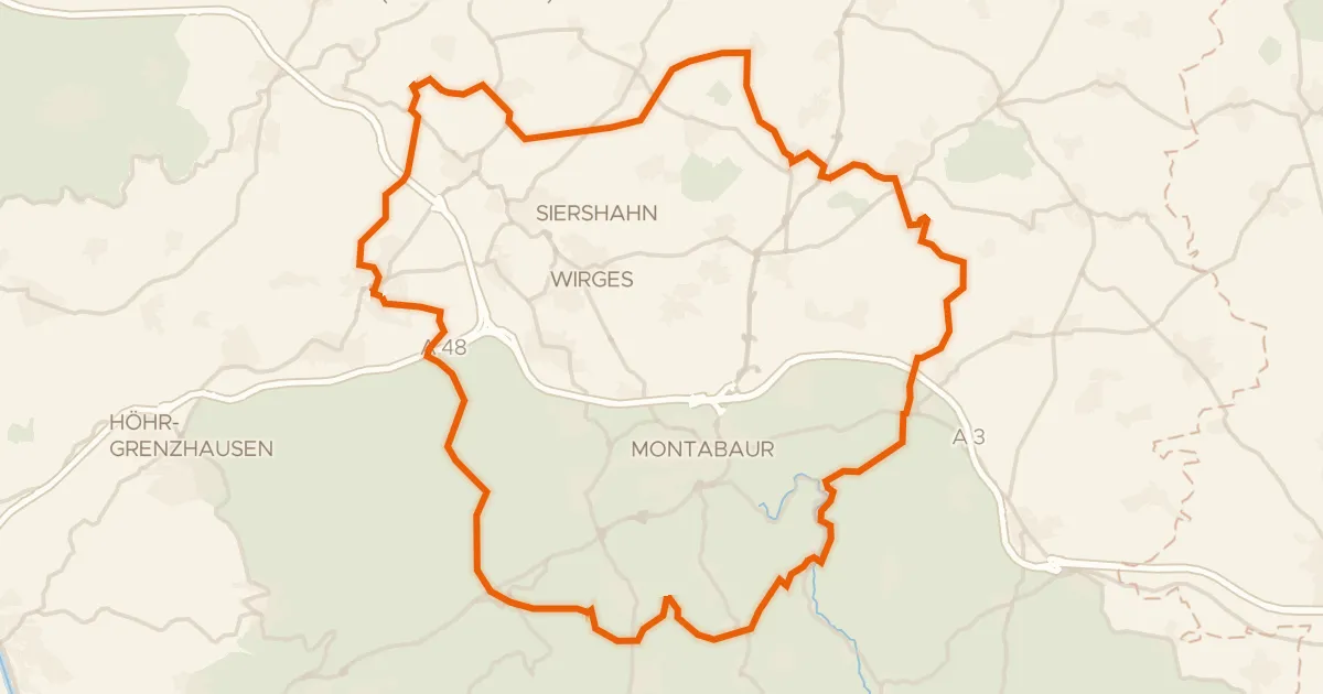
Rondje Im Kumpf en Gelbach
61 km↑ 1,020 m14 km away
Road bike99% paved
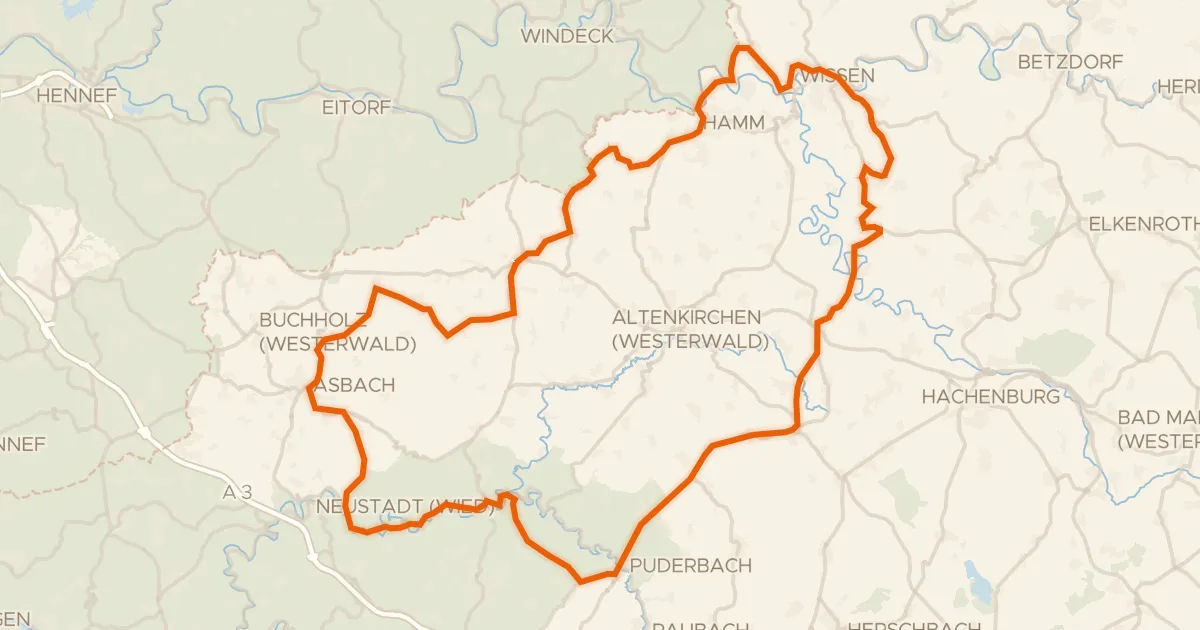
Rondje Burg Lahr en Schloss Schönstein
100 km↑ 1,539 m16 km away
Road bike100% paved
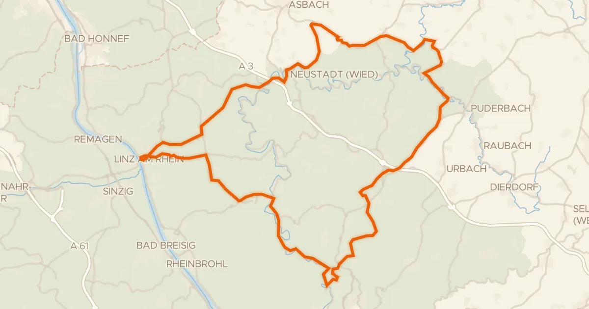
Rondje Burg Linz en Burg Altenwied
88 km↑ 1,585 m20 km away
Road bike99% paved
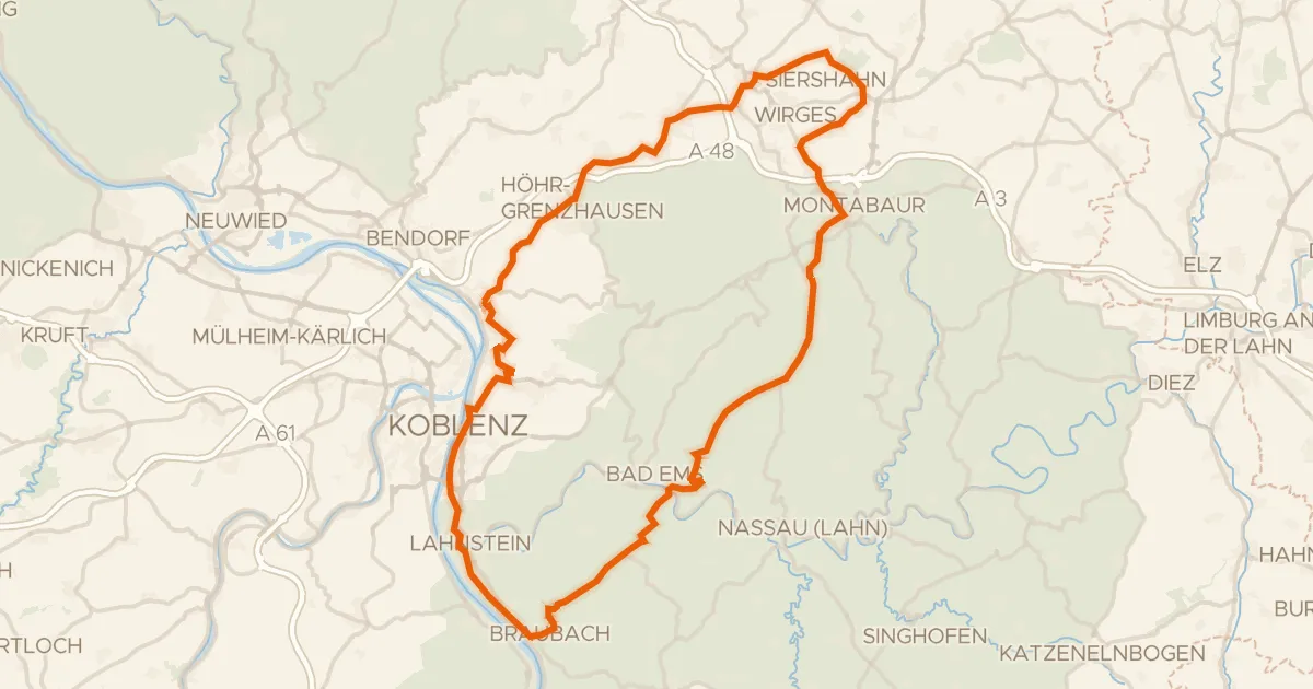
Rondje Schloss Montabaur en Marksburg
83 km↑ 1,331 m20 km away