Back to the librarykm 25 · Oct 2020 · © slp_gho / Mapillary, CC BY-SA km 47 · Jun 2025 · © bernd1960 / Mapillary, CC BY-SA km 50 · Sep 2025 · © bernd1960 / Mapillary, CC BY-SA km 9–10km 12–13km 17–18km 22–23km 24–25km 40–42km 53–53km 56–57
GravelRouteCasterRound trip
Rondje Dreifelder Weiher en Wölferlinger Weiher
Distance
64 km
Ascent
740 m
Highest point
472 m
34% paved
Start from your location
Ride there from home: we find the shortest way to the loop and start the loop from there.
The ride
Roll out from Parkeerplaats Eisenbachwiesen and let the mix of paved and unpaved carry you along. First comes Im Kumpf nature reserve, then Brinkenweiher nature reserve, before Dreifelder Weiher nature reserve opens up ahead. Dreifelder Weiher nature reserve gives way to Wölferlinger Weiher nature reserve, and then it's back to where you started. With 740 m of climbing across 64.3 km, the day keeps unfolding one reserve at a time.
Along the way
Climbs
Climb 1Hill
0.8 km at 5.2% · max 16.3%
Climb 2Hill
1.1 km at 4.1% · max 8.6%
Climb 3Hill
1 km at 3.8% · max 12.8%
Climb 4Hill
0.9 km at 3.3% · max 7.3%
Climb 5Hill
0.9 km at 5.6% · max 15.5%
Climb 6Cat. 4
1.8 km at 5.3% · max 13.1%
Climb 7Hill
0.6 km at 5.7% · max 9.7%
Climb 8Hill
1.2 km at 5.9% · max 9.4%
Routes nearby
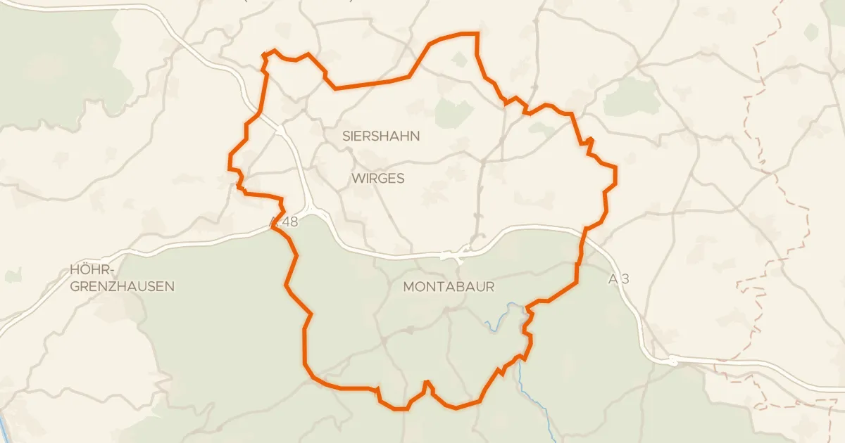
Gravel26% paved
Rondje Im Kumpf en Gelbach
61 km↑ 1,020 m9 km away
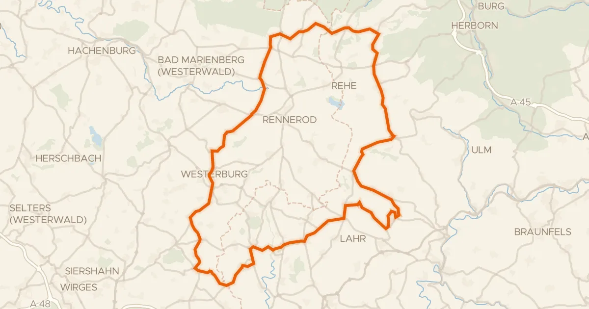
Road bike98% paved
Rondje Schloss Westerburg en Schloss Molsberg
90 km↑ 1,413 m14 km away
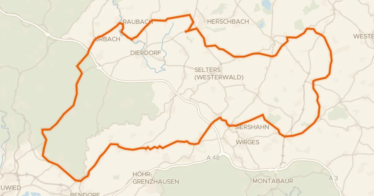
Road bike100% paved
Rondje Schloss Sayn en Malberg
96 km↑ 1,287 m14 km away
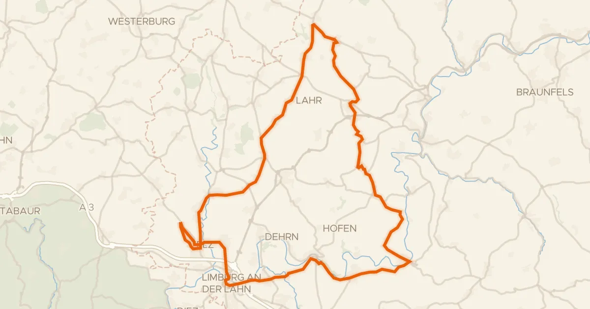
Road bike98% paved
Rondje Burg Runkel en Schloss Hadamar
77 km↑ 1,195 m15 km away
Gravel48% paved
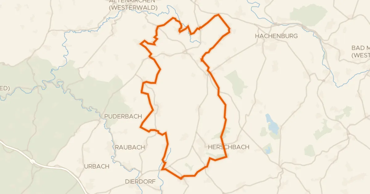
Rondje Holzbachtal en Schimmelsbachtal
58 km↑ 722 m19 km away
Road bike99% paved
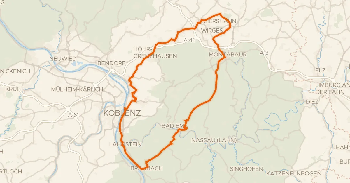
Rondje Schloss Montabaur en Marksburg
83 km↑ 1,331 m20 km away