Back to the librarykm 12 · Jul 2026 · © kalcaaro / Mapillary, CC BY-SA km 40 · Jun 2026 · © kalcaaro / Mapillary, CC BY-SA km 53 · Jul 2026 · © kalcaaro / Mapillary, CC BY-SA km 81 · Jul 2026 · © kalcaaro / Mapillary, CC BY-SA km 0–6km 14–19km 38–38km 39–41km 43–45km 47–54km 54–57km 68–70
Road bikeRouteCasterRound trip
Rondje Schloss Montabaur en Marksburg
Distance
83 km
Ascent
1,331 m
Highest point
438 m
99% paved
Start from your location
Ride there from home: we find the shortest way to the loop and start the loop from there.
The ride
Roll out of Niederelbert and let the ride unfold: first the UNESCO Welterbe Oberes Mittelrheintal nature reserve, then past Marksburg castle. On through the Koppelstein - Helmestal reserve, by the Dikasterialgebäude and Rheinburg castles, and into the Malberg reserve. Schloss Montabaur castle and the Spiessweiher reserve round out the loop before you roll back to Niederelbert, 82.5 km with 1331 m of climbing, almost all of it paved.
Along the way
Climbs
Climb 1Cat. 3
5.8 km at 3.2% · max 8.2%
Climb 2Cat. 3
4.6 km at 5.9% · max 13.9%
Climb 3Hill
0.6 km at 6.4% · max 8.5%
Climb 4Cat. 4
2.5 km at 4.2% · max 15.4%
Climb 5Hill
1.9 km at 4% · max 23.3%
Climb 6Cat. 3
6.5 km at 3.1% · max 10.7%
Climb 7Cat. 4
2.6 km at 4.6% · max 8.8%
Climb 8Hill
1.3 km at 3.1% · max 8.6%
Routes nearby
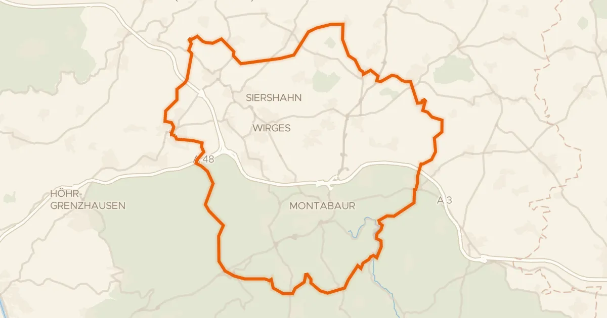
Gravel26% paved
Rondje Im Kumpf en Gelbach
61 km↑ 1,020 m5 km away
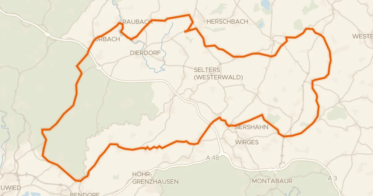
Road bike100% paved
Rondje Schloss Sayn en Malberg
96 km↑ 1,287 m13 km away
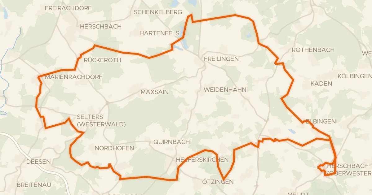
Gravel34% paved
Rondje Dreifelder Weiher en Wölferlinger Weiher
64 km↑ 740 m15 km away
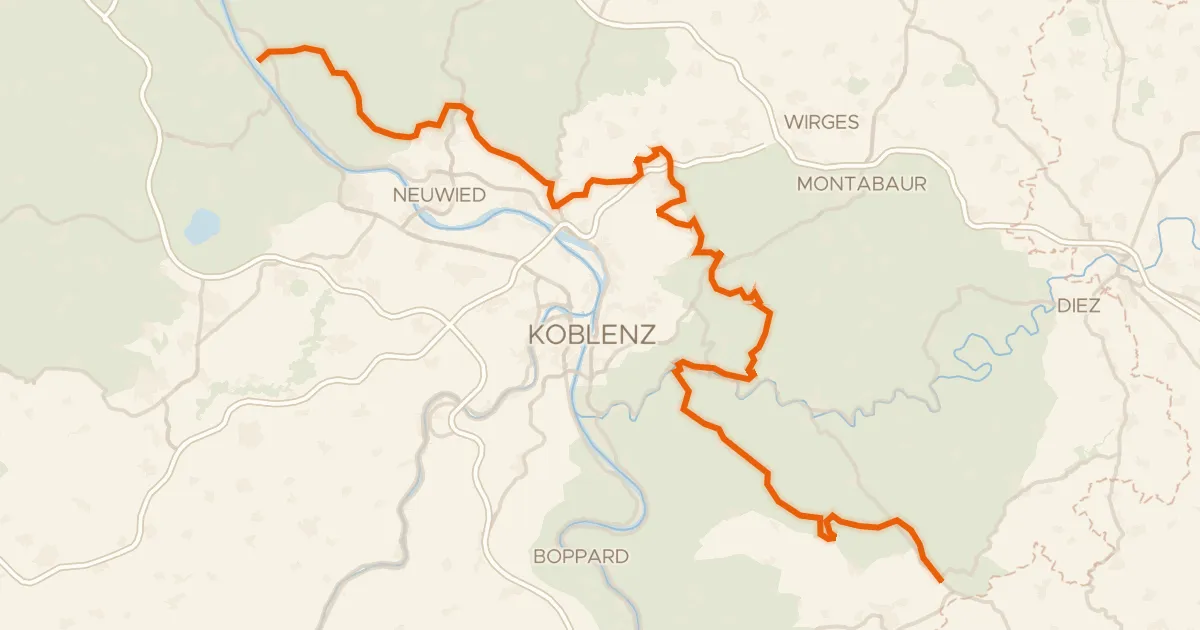
Touring80% paved
Deutscher Limes-Radweg 1. Abschnitt Bad Hönningen - Holzhausen
111 km↑ 2,327 m15 km away
Gravel48% paved
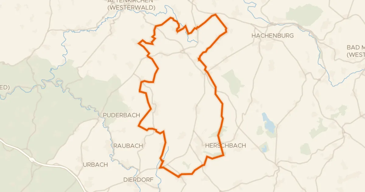
Rondje Holzbachtal en Schimmelsbachtal
58 km↑ 722 m24 km away
Road bike98% paved
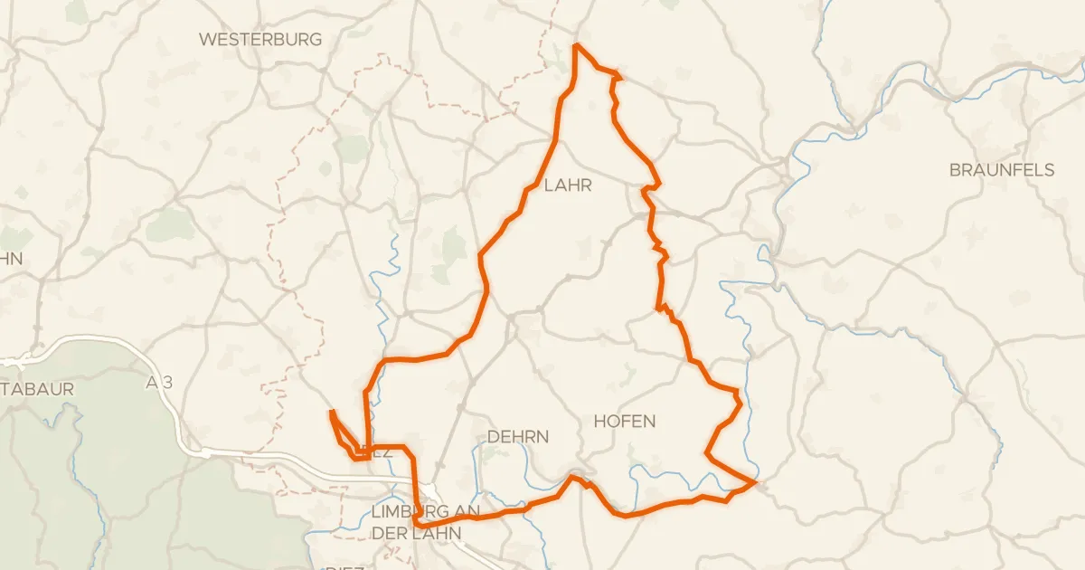
Rondje Burg Runkel en Schloss Hadamar
77 km↑ 1,195 m24 km away