Back to the librarykm 4–7km 22–24km 24–30km 40–43km 45–46km 48–49km 51–52km 52–54km 55–56km 57–58
GravelMade by RouteCasterRound trip
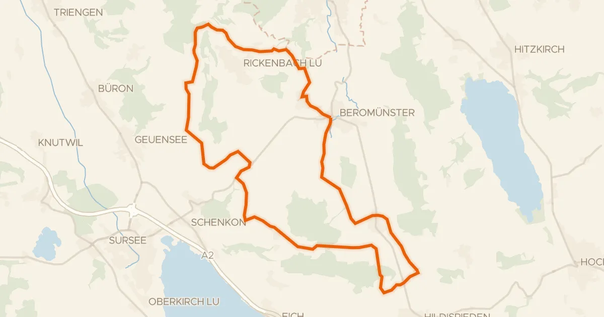
Rondje Schloss Hilfikon en Aabach
Distance
64 km
Ascent
1,478 m
Highest point
879 m
23% paved
Start from your location
Ride there from home: we find the shortest way to the loop and start the loop from there.
The ride
From Hallwil you roll out along the Aabach river, then climb past Schloss Hilfikon and Schloss Heidegg. Of the 63.7 km, most runs unpaved, and the route gathers 1478 m of elevation before bringing you back to where you started. Two castles, a river and a lot of climbing — that's the shape of the day.
Climbs
Climb 1Cat. 3
3.1 km at 8.6% · max 22.2%
Climb 2Hill
2.2 km at 3.4% · max 11.4%
Climb 3Cat. 3
5.8 km at 3% · max 12.5%
Climb 4Cat. 3
3.5 km at 4.9% · max 22.7%
Climb 5Cat. 4
1.5 km at 5.4% · max 16.8%
Climb 6Hill
0.4 km at 6.5% · max 9.7%
Climb 7Hill
1 km at 7% · max 14.1%
Climb 8Cat. 3
1.7 km at 10.3% · max 23.4%
Climb 9Hill
0.8 km at 6.5% · max 22%
Climb 10Hill
1 km at 3.7% · max 8.1%
Routes nearby
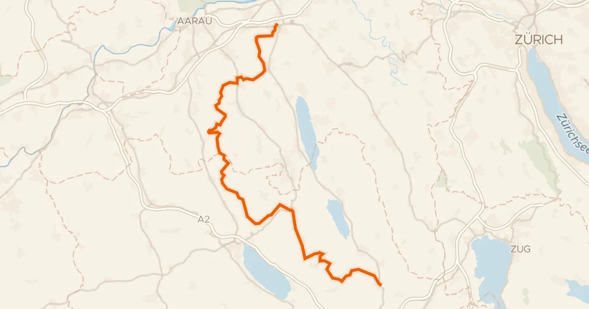
Touring77% paved
Herzschlaufe Seetal
65 km↑ 1,292 m8 km away
Bänkelloch · Bööler Passhöchi
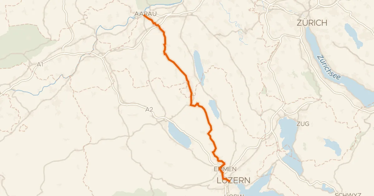
Road bike98% paved
Wynental-Route
57 km↑ 644 m12 km away
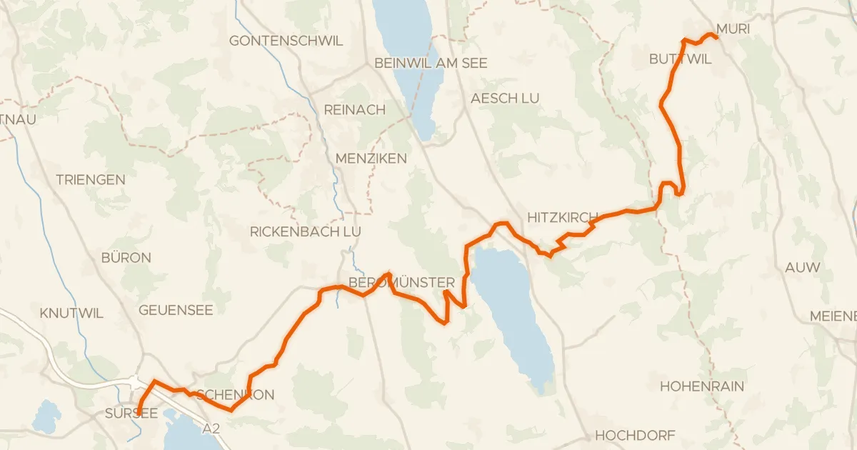
Touring89% paved
Mittelländer Hügelroute
33 km↑ 841 m12 km away
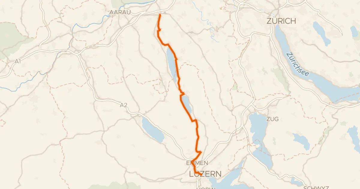
Touring80% paved
Seetal-Bötzberg
50 km↑ 406 m13 km away

Gravel22% paved
Rondje Altenburg en Aare
52 km↑ 1,094 m13 km away
Road bike95% paved
Runde Michaelsamt
30 km↑ 439 m15 km away