Back to the librarykm 1–6km 10–13km 20–25
Touring
Mittelländer Hügelroute
Distance
33 km
Ascent
841 m
Highest point
879 m
89% paved
The ride
This 33.5 km ride climbs 841 m, mixing 89% paved with 10% unpaved. Tertiary roads make up 38%, country roads 23%, and residential roads 15%. Protected cycleways and bike-network roads cover 32% of the route, with 0% on busy roads over 50 km/h lacking a cycle path. Enjoy the mix of surfaces and quiet lanes.
Climbs
Climb 1Cat. 3
5.3 km at 4.4% · max 12.7%
Climb 2Cat. 3
3 km at 5.4% · max 10.8%
Climb 3Cat. 2
5.3 km at 7.6% · max 17.6%
Routes nearby
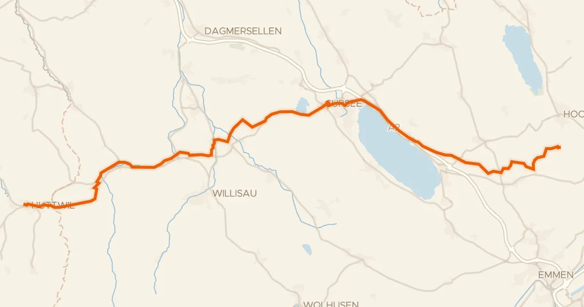
Touring89% paved
L'Areuse-Emme-Sihl
46 km↑ 454 m5 km away
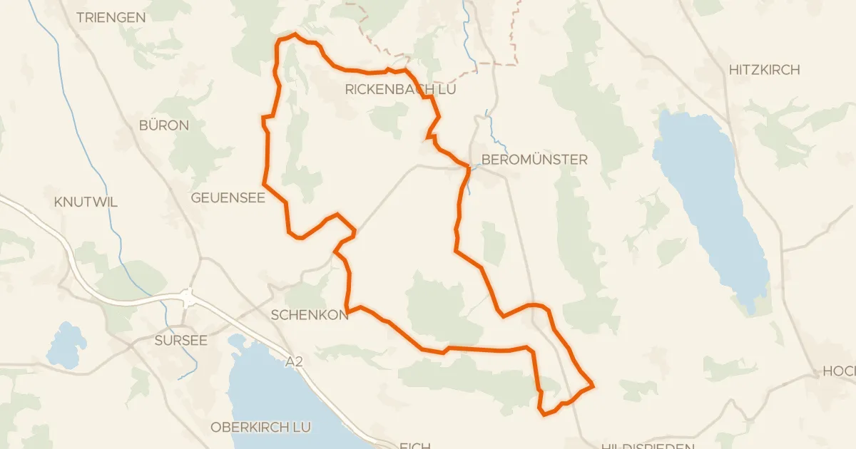
Road bike95% paved
Runde Michaelsamt
30 km↑ 439 m6 km away
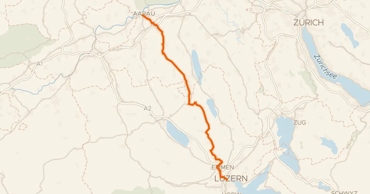
Road bike98% paved
Wynental-Route
57 km↑ 644 m7 km away
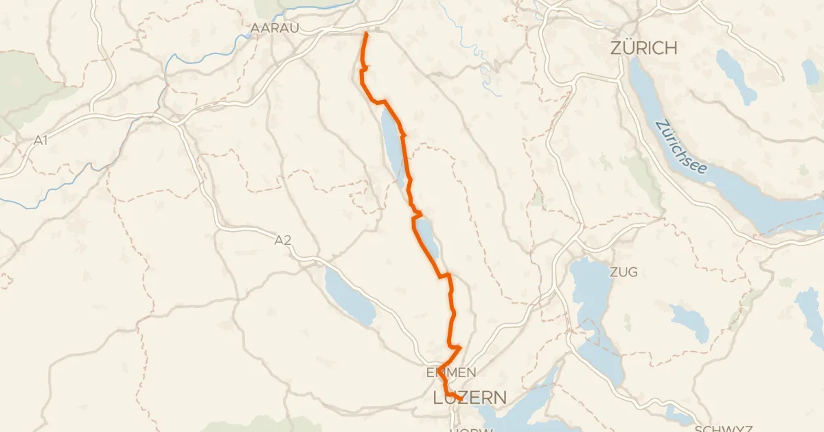
Touring80% paved
Seetal-Bötzberg
50 km↑ 406 m11 km away
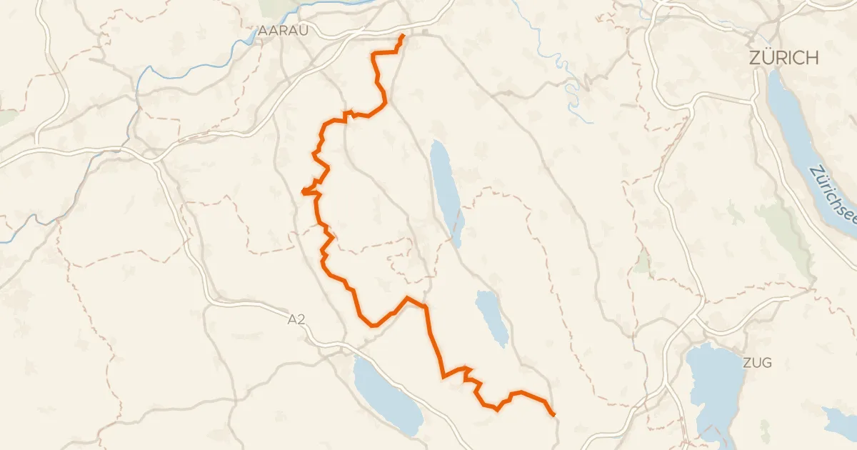
Touring77% paved
Herzschlaufe Seetal
65 km↑ 1,292 m12 km away
Bänkelloch · Bööler Passhöchi
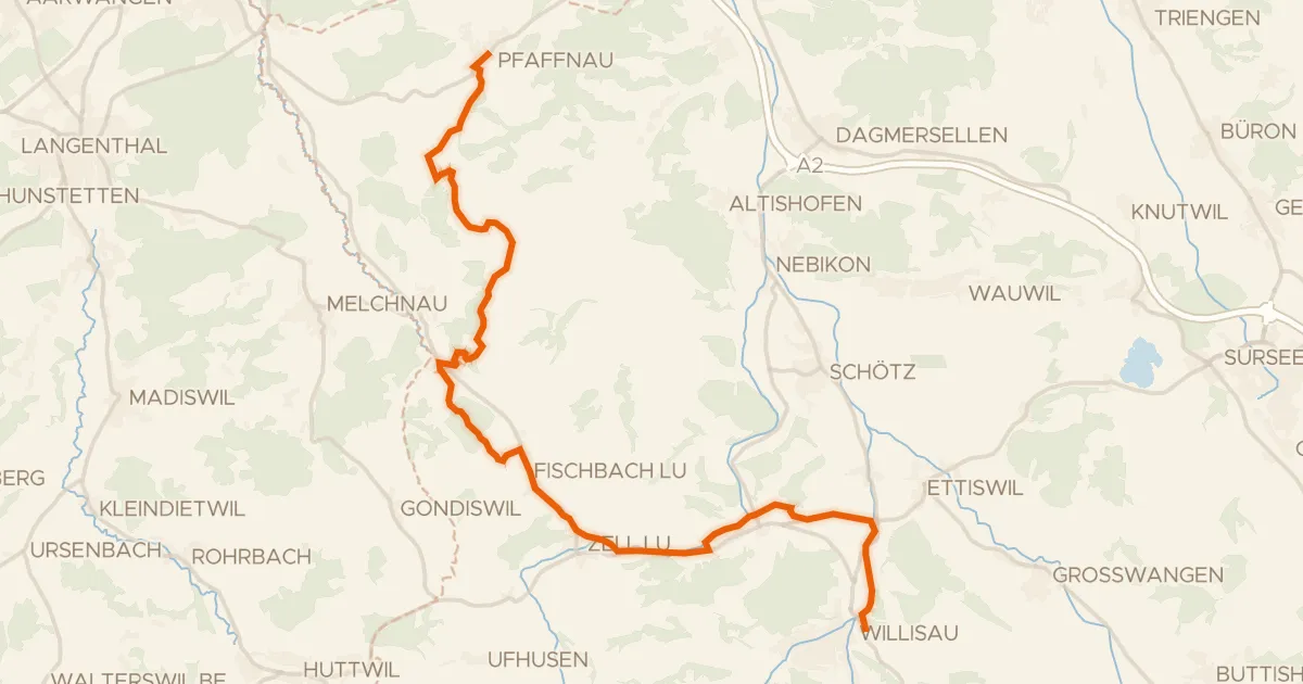
Touring76% paved
Luzerner Hinterland-Rigi
25 km↑ 497 m13 km away