Back to the librarykm 25–26km 27–28
Road bikeRound trip
Runde Michaelsamt
Distance
30 km
Ascent
439 m
Highest point
795 m
95% paved
Start from your location
Ride there from home: we find the shortest way to the loop and start the loop from there.
The ride
A 29.5 km ride with 439 m of climbing, mostly on paved surface — 95% paved, 5% unpaved. You'll roll along service roads (34%), residential roads (21%) and dirt tracks (20%). Protected cycleways and bike-network roads cover 40%, and 0% is on busy roads over 50 km/h without a cycle path. Enjoy the mix!
Climbs
Climb 1Hill
0.7 km at 4.2% · max 7.8%
Climb 2Hill
0.9 km at 3.7% · max 9.8%
Routes nearby
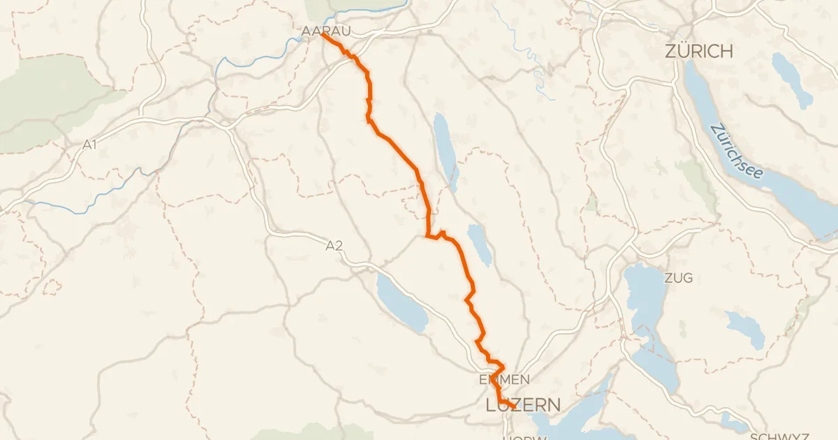
Road bike98% paved
Wynental-Route
57 km↑ 644 m2 km away
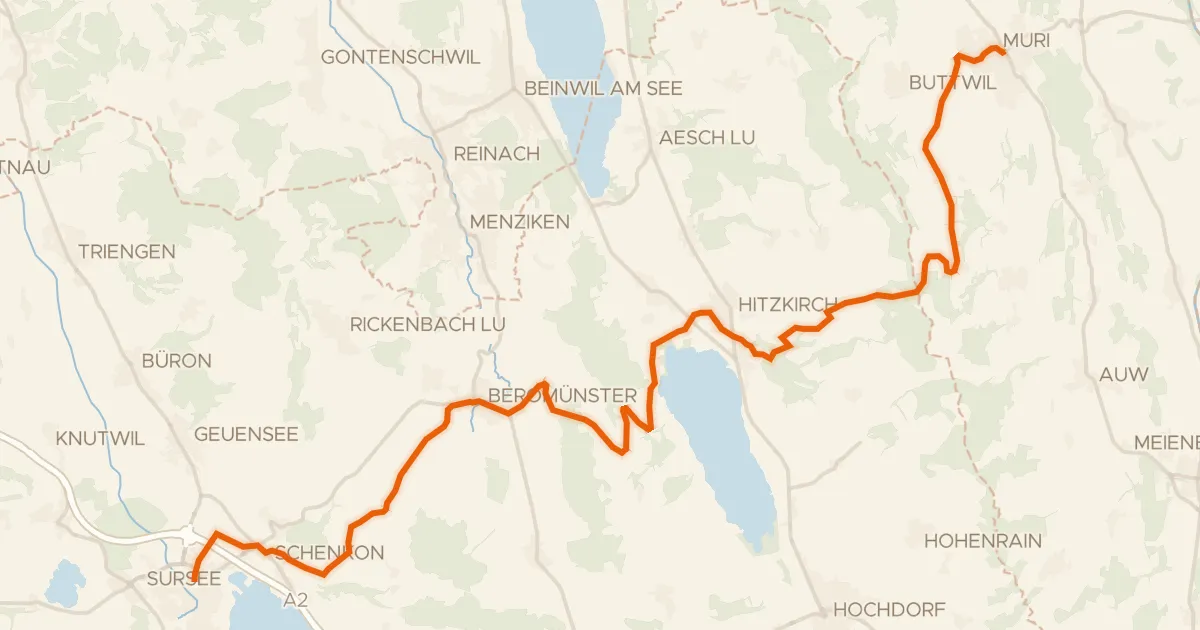
Touring89% paved
Mittelländer Hügelroute
33 km↑ 841 m3 km away
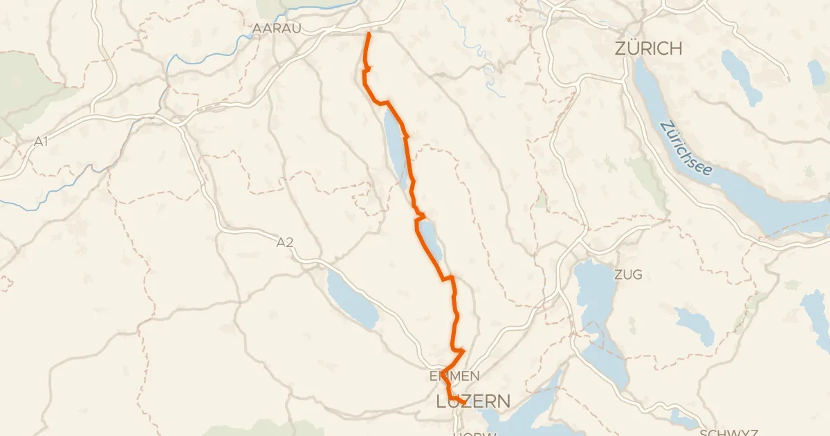
Touring80% paved
Seetal-Bötzberg
50 km↑ 406 m4 km away
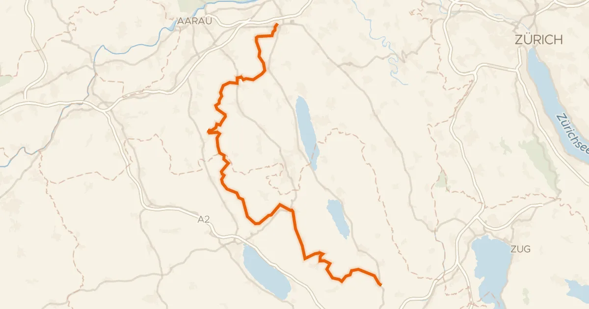
Touring77% paved
Herzschlaufe Seetal
65 km↑ 1,292 m6 km away
Bänkelloch · Bööler Passhöchi
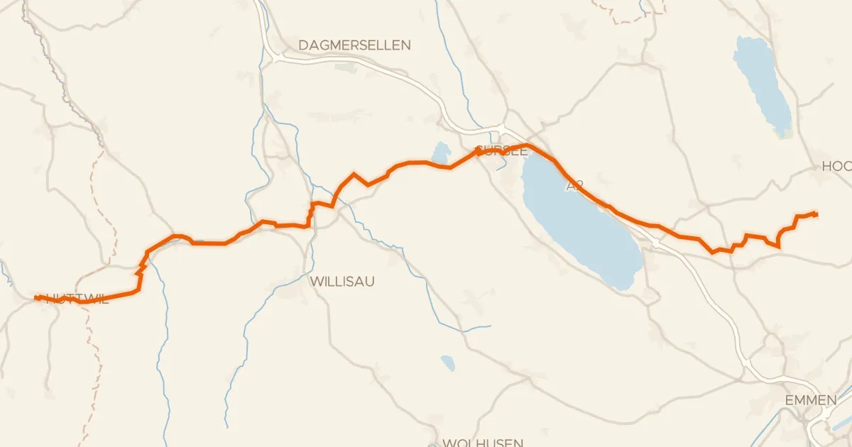
Touring89% paved
L'Areuse-Emme-Sihl
46 km↑ 454 m12 km away
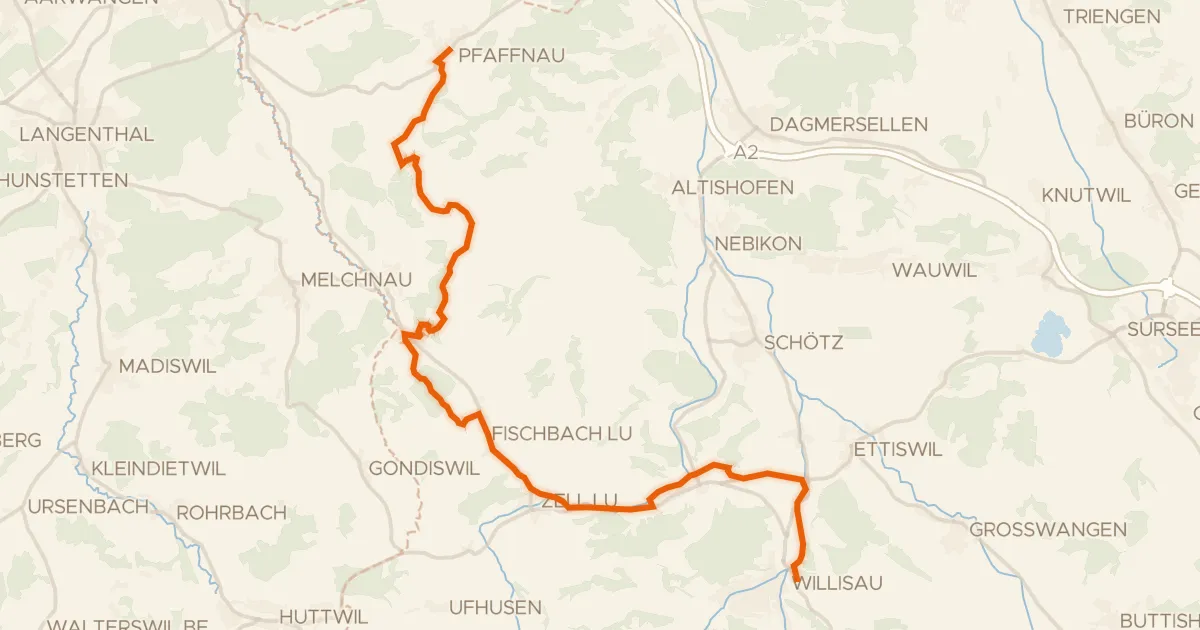
Touring76% paved
Luzerner Hinterland-Rigi
25 km↑ 497 m19 km away