Back to the librarykm 0–3
Touring
L'Areuse-Emme-Sihl
Distance
46 km
Ascent
454 m
Highest point
732 m
89% paved
The ride
A 46.1 km ride with 454 m of climbing, rolling mostly along country roads, service roads and paths. About 89% is paved and 11% unpaved, so expect a mix under your wheels. Roughly 40% of the route runs on protected cycleways or bike-network roads, and none of it puts you on busy roads above 50 km/h without a cycle path. Country roads make up 28%, service roads 19% and paths 14% — a varied day out.
Climbs
Climb 1Cat. 4
3.2 km at 3.1% · max 11.9%
Routes nearby
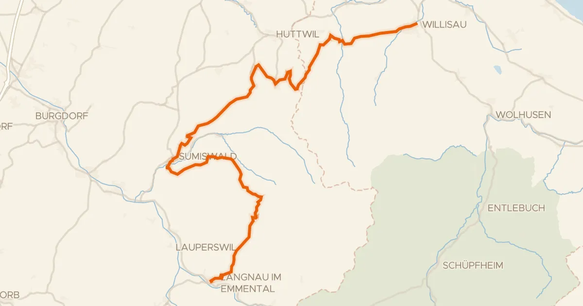
Touring89% paved
Herzschlaufe Napf
57 km↑ 1,700 m10 km away
Chrüzhöchi
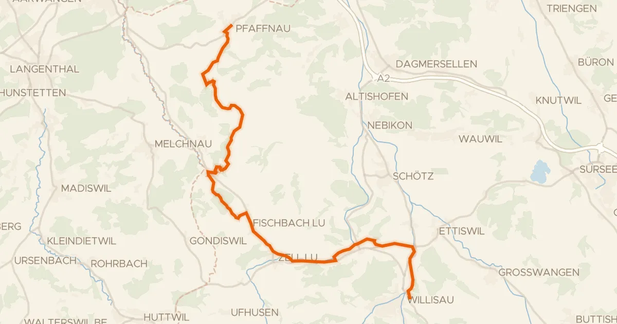
Touring76% paved
Luzerner Hinterland-Rigi
25 km↑ 497 m10 km away
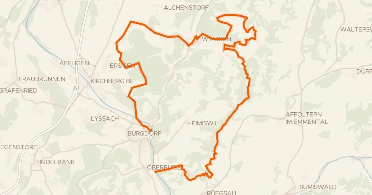
Touring80% paved
Herzschlaufe Burdorf
45 km↑ 1,287 m15 km away
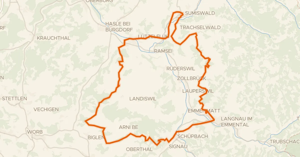
Touring89% paved
Herzschlaufe Gotthelf
61 km↑ 1,826 m19 km away
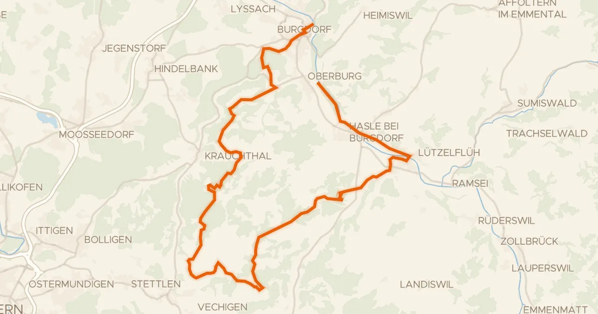
Touring78% paved
Herzschlaufe Burgdorf
40 km↑ 1,025 m20 km away
Mänziwilegg
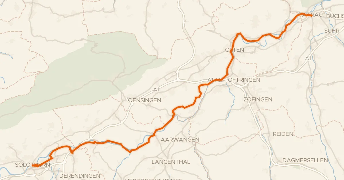
Touring76% paved
Mittelland-Route
61 km↑ 494 m21 km away