Back to the librarykm 6–10km 13–18km 18–19km 21–24km 25–27km 29–29km 30–30km 32–33
Touring
Herzschlaufe Seetal
Distance
65 km
Ascent
1,292 m
Highest point
774 m
77% paved
The ride
65.2 km of riding with 1292 m of climbing — that's a proper day out. The surface splits into 77% paved and 23% unpaved, so expect the road to change character along the way. Keep an eye out for Bänkelloch and Bööler Passhöchi as you roll through. Mix it up, take your time, and enjoy the ride.
Passes
BänkellochBööler Passhöchi
Climbs
Climb 1Cat. 3
4 km at 4.1% · max 15.1%
Climb 2Cat. 3
5.4 km at 3.9% · max 17.3%
Climb 3Hill
1.1 km at 3.7% · max 10.9%
Climb 4Cat. 4
2.6 km at 6.1% · max 15.2%
Climb 5Hill
1.5 km at 5.1% · max 12.9%
Climb 6Hill
0.7 km at 3.9% · max 15%
Climb 7Hill
0.7 km at 5.2% · max 9.4%
Climb 8Hill
1 km at 5.1% · max 10.5%
Routes nearby
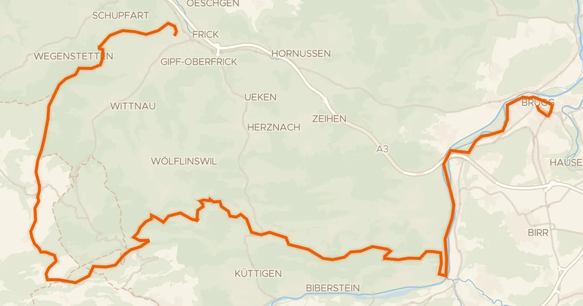
Gravel62% paved
Jurapark Aargau
58 km↑ 1,513 m11 km away
Staffelegg · Salhöhe
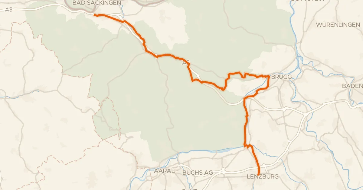
Touring83% paved
Seetal-Bötzberg - Etappe 2
43 km↑ 434 m11 km away
Bözbergpass
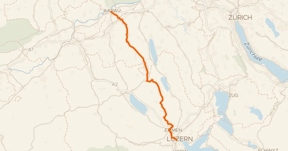
Road bike98% paved
Wynental-Route
57 km↑ 644 m19 km away
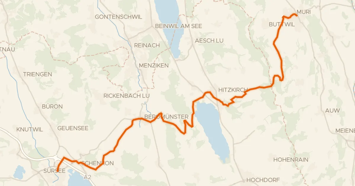
Touring89% paved
Mittelländer Hügelroute
33 km↑ 841 m19 km away
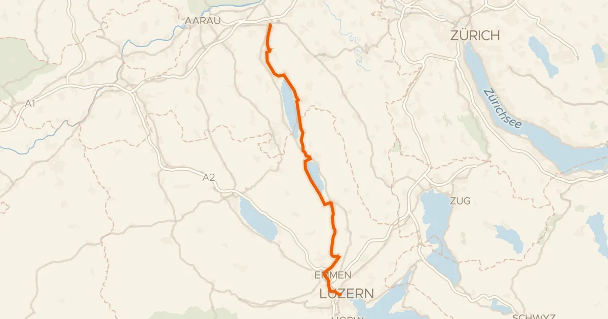
Touring80% paved
Seetal-Bötzberg
50 km↑ 406 m20 km away
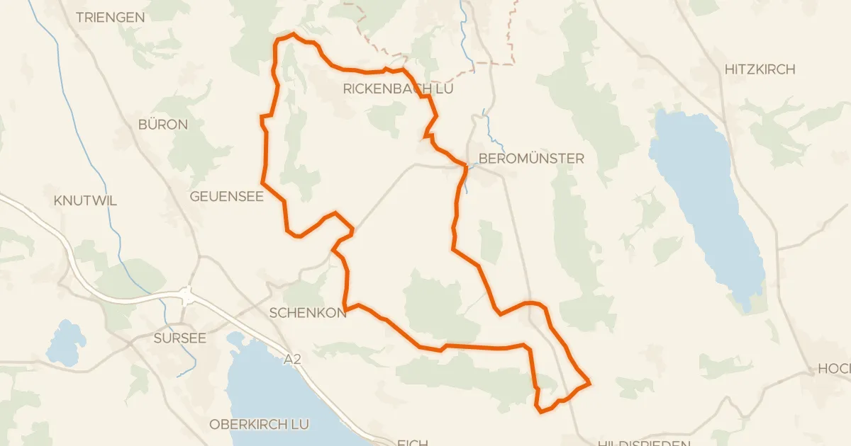
Road bike95% paved
Runde Michaelsamt
30 km↑ 439 m22 km away