Back to the librarykm 20 · Apr 2025 · © nrailuj / Mapillary, CC BY-SA km 24 · Apr 2025 · © nrailuj / Mapillary, CC BY-SA km 64 · Mar 2018 · © ramap / Mapillary, CC BY-SA km 68 · Jan 2024 · © tobiasreg / Mapillary, CC BY-SA km 6–8km 14–16km 17–18km 19–22km 26–27km 33–34km 42–43km 71–73km 74–77
Road bikeRouteCasterRound trip
Rondje Schloss Eisenbach en Burg Ulrichstein
Distance
88 km
Ascent
1,217 m
Highest point
632 m
99% paved
Start from your location
Ride there from home: we find the shortest way to the loop and start the loop from there.
The ride
Roll out from Parkeerplaats Antrifttal bei Ober-Breidenbach on an 88.2 km loop that climbs 1217 m, almost all of it paved. First up: the Magerrasen bei Lauterbach und Kalkberge bei Schwarz nature reserve, then the Heidberg bei Sickendorf reserve. Schloss Eisenbach and Burg Ulrichstein, two castles, break up the middle, with the Schalksbachteiche reserve and the Weidengalle und Hasenbach bei Merlau reserve rounding out the ride before you roll back to the start.
Along the way
Climbs
Climb 1Hill
2.3 km at 3.1% · max 9.7%
Climb 2Hill
1.9 km at 3.5% · max 8.2%
Climb 3Hill
0.9 km at 5.8% · max 11.6%
Climb 4Cat. 4
3.1 km at 3.1% · max 9.8%
Climb 5Hill
1.3 km at 4.4% · max 8.1%
Climb 6Hill
0.9 km at 3% · max 4.5%
Climb 7Hill
0.9 km at 5.8% · max 10.6%
Climb 8Hill
1.4 km at 4.2% · max 8%
Climb 9Cat. 4
3.2 km at 3.3% · max 9.1%
Routes nearby
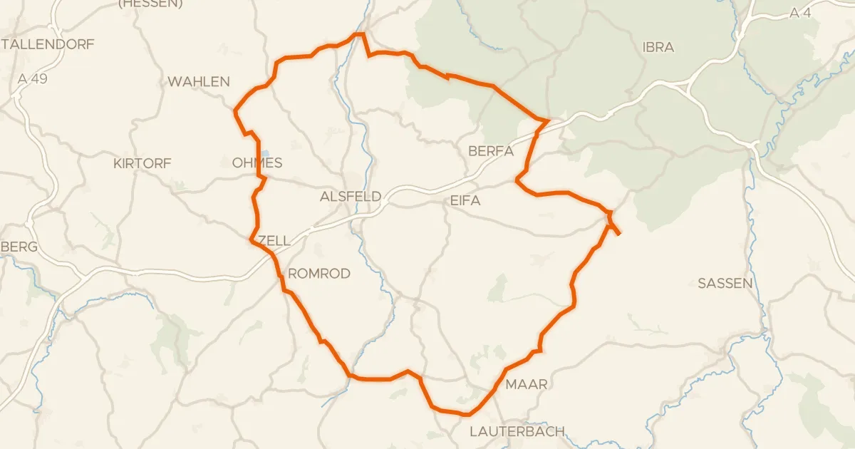
Road bike100% paved
Rondje Schloss Romrod en Schwalm
77 km↑ 931 m10 km away
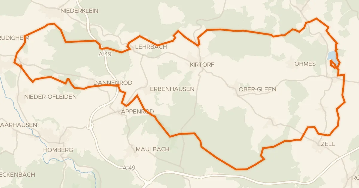
Gravel36% paved
Rondje Burg Lehrbach en Antrifttalsperre bei Angenrod
62 km↑ 602 m13 km away
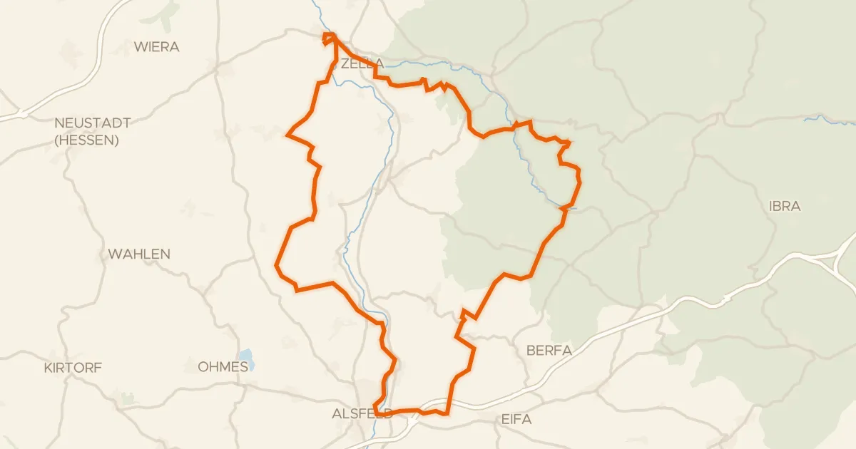
Gravel39% paved
Rondje Schloss Loshausen en Immichenhainer Teiche
60 km↑ 807 m17 km away
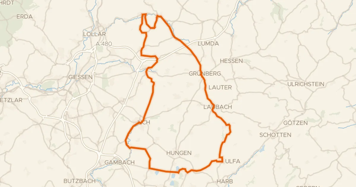
Road bike100% paved
Rondje langs Schloss Lich en Schloss Laubach
90 km↑ 960 m26 km away
Gravel21% paved
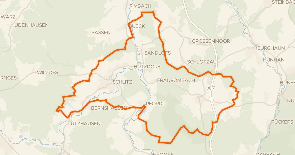
Rondje Quebst en Schlitz
55 km↑ 1,003 m26 km away
Gravel21% paved
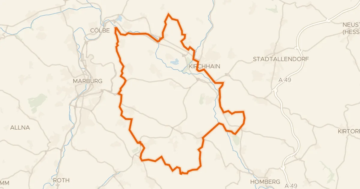
Rondje Burg Schweinsberg en Schweinsberger Moor
63 km↑ 678 m27 km away