Back to the librarykm 9 · May 2022 · © troher15 / Mapillary, CC BY-SA km 24 · Apr 2024 · © troher15 / Mapillary, CC BY-SA km 58 · Aug 2023 · © DerMaster0815 / Mapillary, CC BY-SA km 84 · Jul 2024 · © tim3003 / Mapillary, CC BY-SA km 3–5km 36–37
Road bikeRouteCasterRound trip
Rondje langs Schloss Lich en Schloss Laubach
Distance
90 km
Ascent
960 m
Highest point
319 m
100% paved
Start from your location
Ride there from home: we find the shortest way to the loop and start the loop from there.
The ride
Roll out of Grünberg and let the road carry you past Schloss Laubach, then on through the Silbachtal nature reserve and the quiet Kühweide near Steinheim. After Im Tiefen Ried and Schloss Lich, the Jossoller nature reserve at Hattenrod rounds things off before you spin back to Grünberg. It's 89.5 km, all paved, with 960 m of climbing along the way.
Along the way
Climbs
Climb 1Hill
1.5 km at 3.8% · max 10.7%
Climb 2Hill
0.8 km at 3.2% · max 6%
Routes nearby
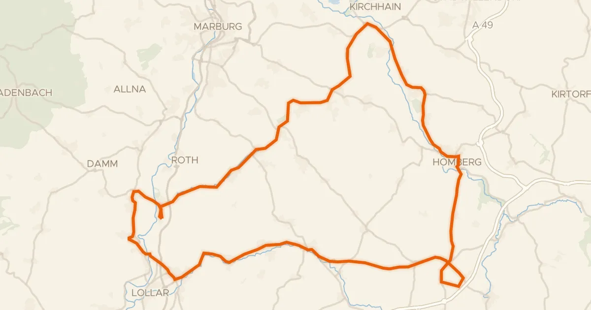
Road bike98% paved
Rondje langs de Oberburg Staufenberg en Schweinsberger Moor
81 km↑ 595 m17 km away
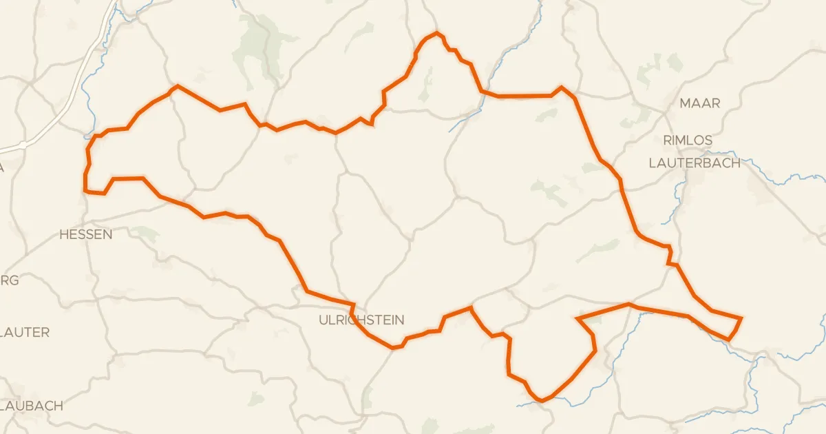
Road bike99% paved
Rondje Schloss Eisenbach en Burg Ulrichstein
88 km↑ 1,217 m19 km away
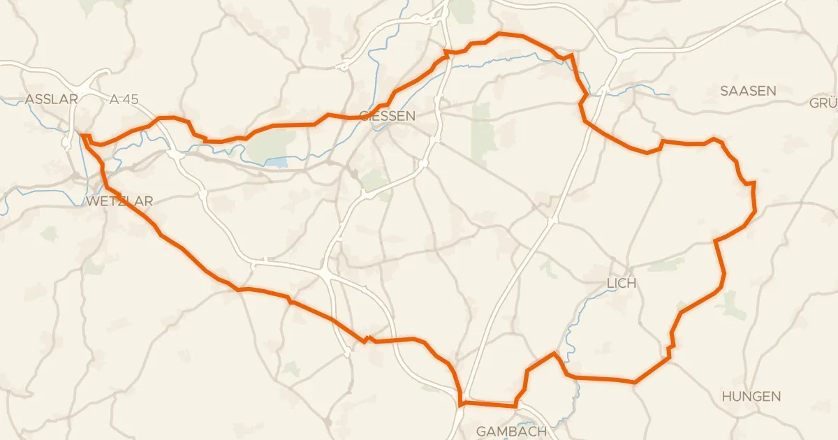
Road bike98% paved
Rondje Busecker Schloss en Burg Hermannstein
88 km↑ 635 m19 km away
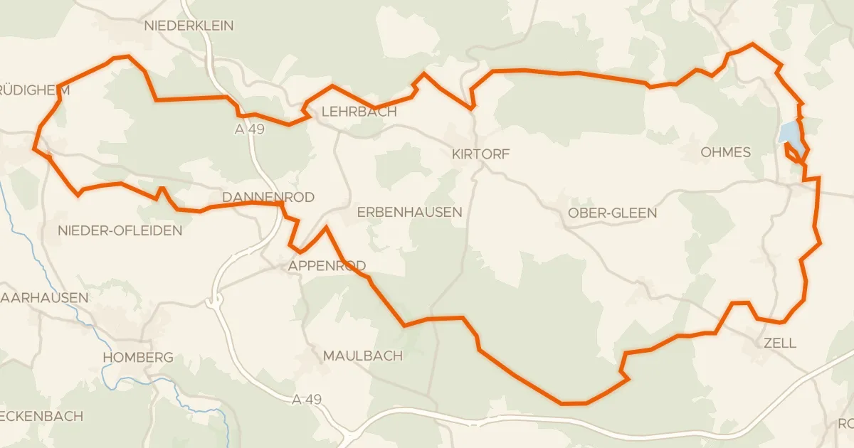
Gravel36% paved
Rondje Burg Lehrbach en Antrifttalsperre bei Angenrod
62 km↑ 602 m20 km away
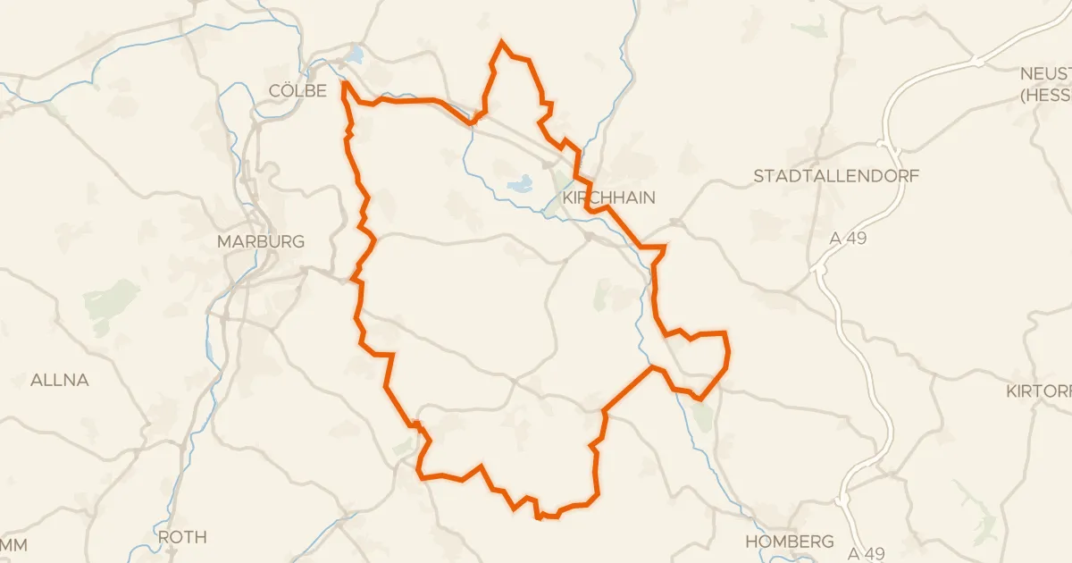
Gravel21% paved
Rondje Burg Schweinsberg en Schweinsberger Moor
63 km↑ 678 m24 km away
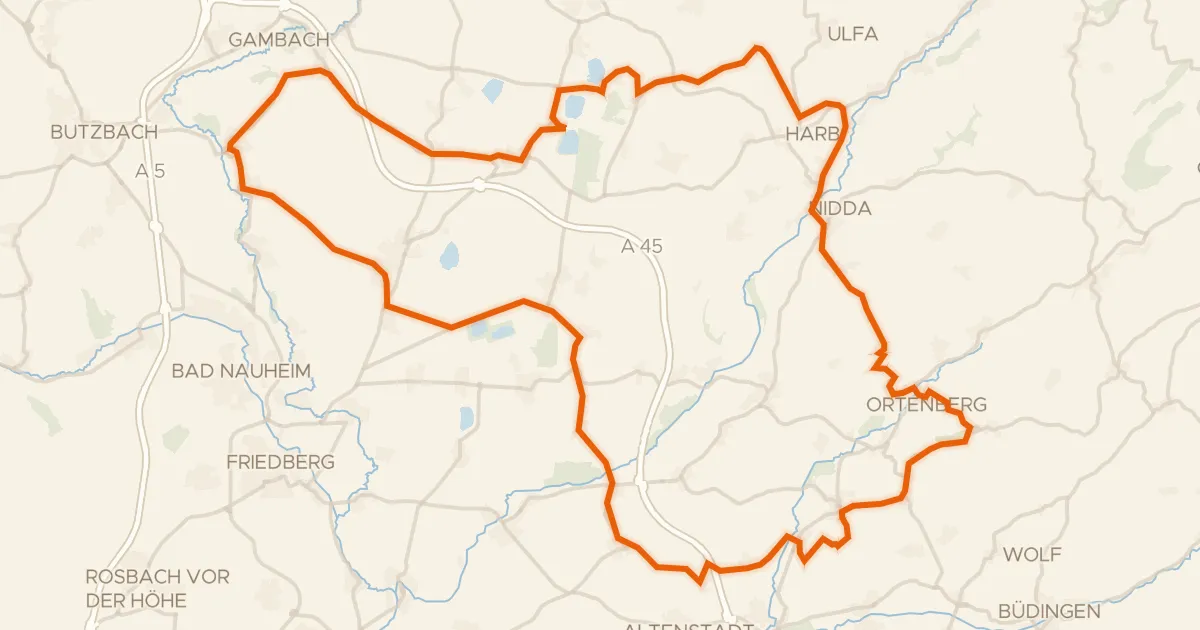
Road bike98% paved
Rondje Schloß Bingenheim en Burg Rockenberg
87 km↑ 1,038 m24 km away