Back to the librarykm 16–16km 42–44km 56–57
GravelRouteCasterRound trip
Rondje Burg Lehrbach en Antrifttalsperre bei Angenrod
Distance
62 km
Ascent
602 m
Highest point
378 m
36% paved
Start from your location
Ride there from home: we find the shortest way to the loop and start the loop from there.
The ride
From the parking area at Antrifttalsperre near Angenrod, this 61.6 km loop rolls out past the nature reserve at the reservoir, then on through the Im Lützelgrund reserve near Maulbach. Next you dive into the Dannenröder Forst forest before skirting the Saurasen reserve by Schweinsberg. With 602 m of climbing and a mostly unpaved surface, the route then passes Burg Lehrbach castle and returns to where you started.
Climbs
Climb 1Hill
0.7 km at 3.9% · max 9%
Climb 2Cat. 4
2.2 km at 3.7% · max 11.9%
Climb 3Hill
0.7 km at 5% · max 7.5%
Routes nearby
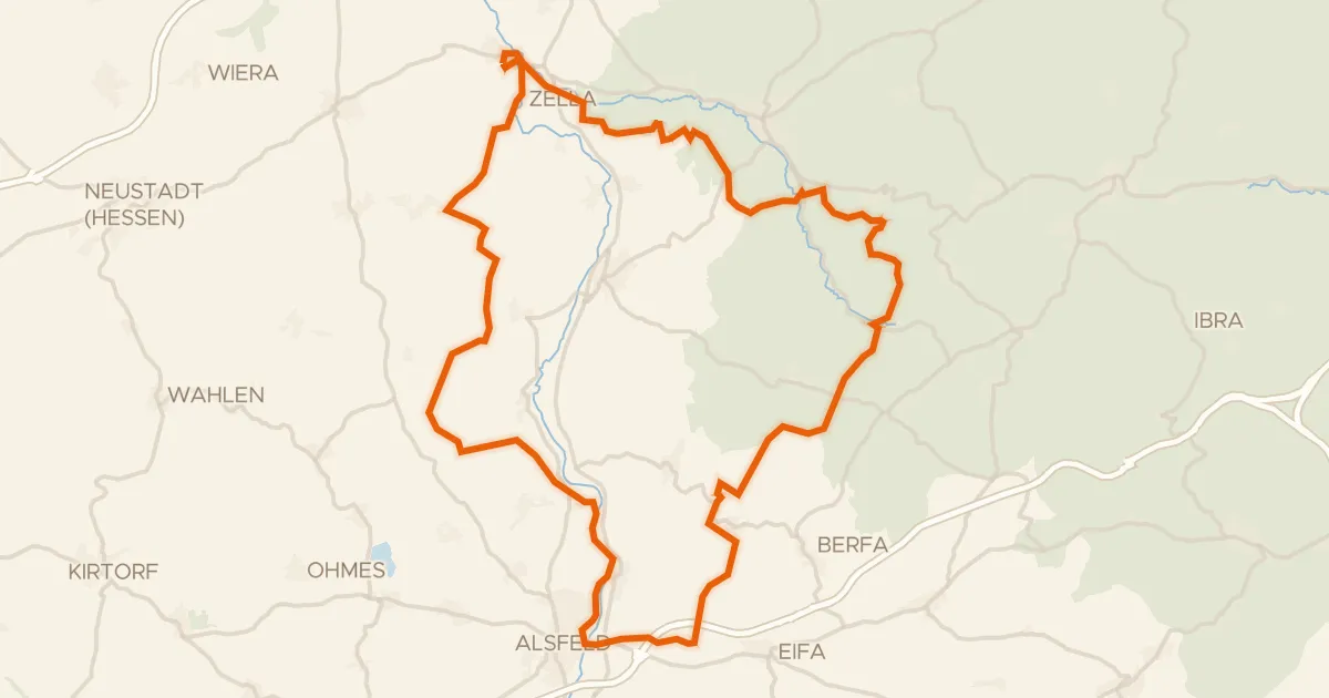
Gravel39% paved
Rondje Schloss Loshausen en Immichenhainer Teiche
60 km↑ 807 m9 km away
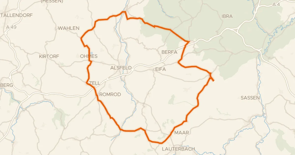
Road bike100% paved
Rondje Schloss Romrod en Schwalm
77 km↑ 931 m10 km away
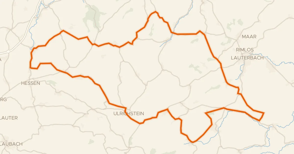
Road bike99% paved
Rondje Schloss Eisenbach en Burg Ulrichstein
88 km↑ 1,217 m17 km away
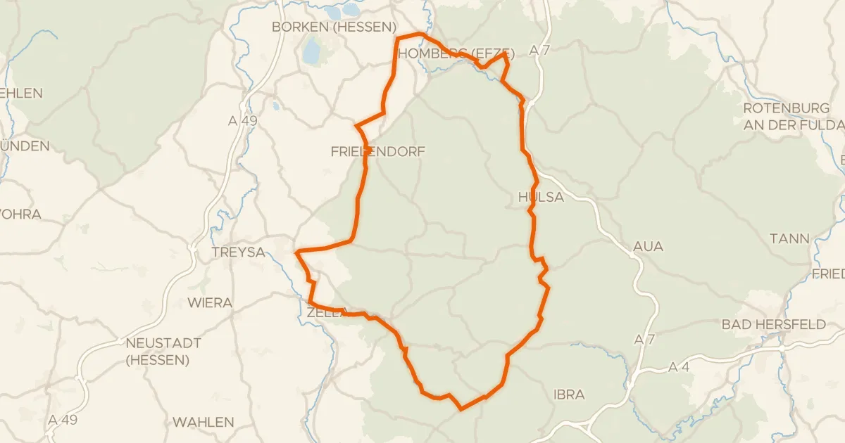
Road bike97% paved
Rondje Schloss Hausen en Kalkberg bei Weißenborn
82 km↑ 1,139 m21 km away
Gravel21% paved
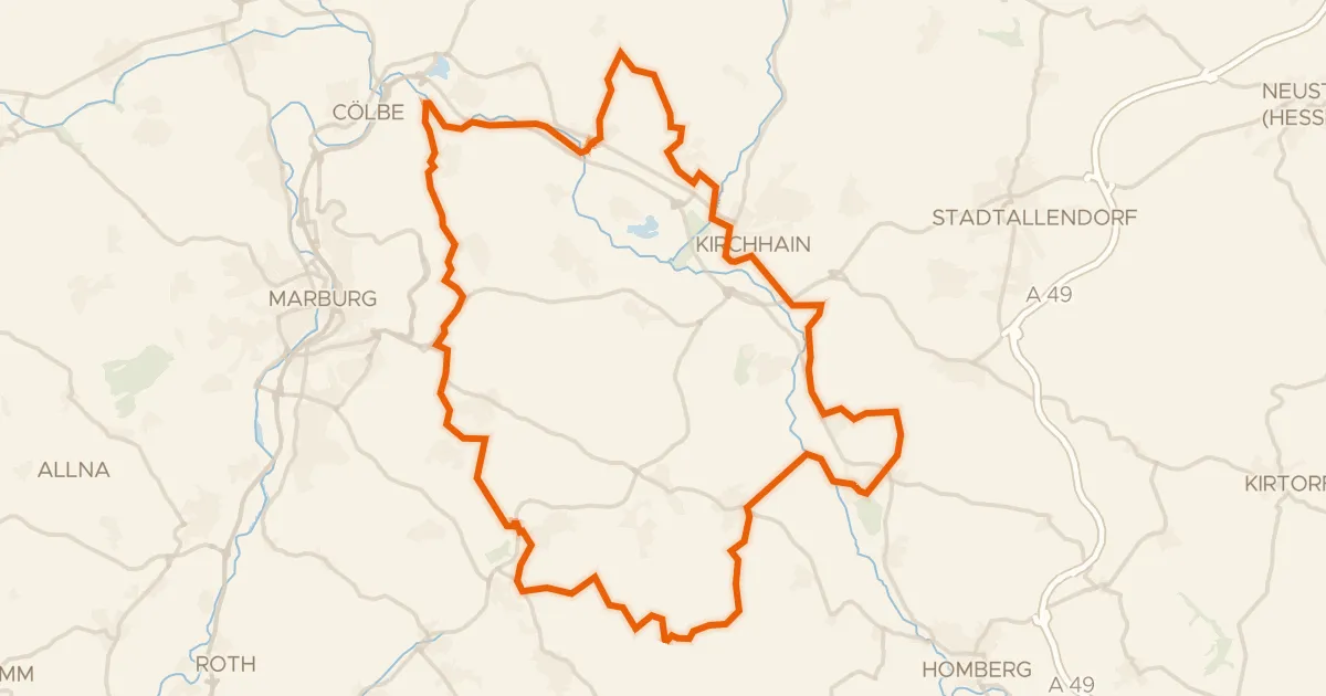
Rondje Burg Schweinsberg en Schweinsberger Moor
63 km↑ 678 m22 km away
Gravel18% paved
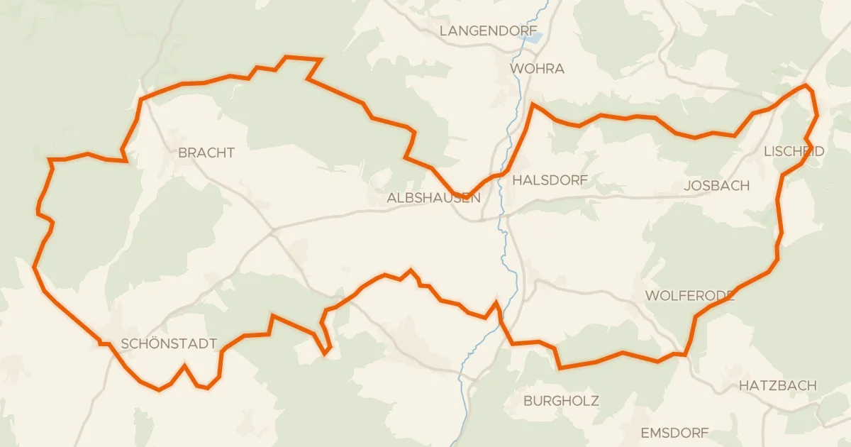
Rondje Schloß Schönstadt en Kalkkuppen bei Winterscheid
57 km↑ 1,017 m25 km away