Back to the librarykm 36 · Jun 2025 · © bct / Mapillary, CC BY-SA km 60 · May 2026 · © changchun1 / Mapillary, CC BY-SA km 63 · May 2026 · © changchun1 / Mapillary, CC BY-SA km 4–7km 12–14km 16–20km 34–37km 37–40km 44–48km 51–52
Road bikeRouteCasterRound trip
Rondje Schloss Hausen en Kalkberg bei Weißenborn
Distance
82 km
Ascent
1,139 m
Highest point
553 m
97% paved
Start from your location
Ride there from home: we find the shortest way to the loop and start the loop from there.
The ride
Roll out of Frielendorf and let the ride unfold: past the Eichelskopf nature reserve, on to Schloss Hausen with its castle, then the Kalkberg bei Weißenborn nature reserve. The 81.7 km loop keeps climbing — 1139 m of elevation gain — before the Storchenteich am Schwertzellsgraben nature reserve and the road home. Mostly paved, with a small unpaved share to keep it interesting.
Along the way
Climbs
Climb 1Hill
2.1 km at 3.4% · max 11.7%
Climb 2Hill
2.3 km at 3.3% · max 7.7%
Climb 3Cat. 4
4.1 km at 3.5% · max 11.5%
Climb 4Cat. 4
2.4 km at 3.5% · max 12.4%
Climb 5Cat. 4
2.2 km at 5.5% · max 11.6%
Climb 6Cat. 4
3.9 km at 3.9% · max 17%
Climb 7Hill
0.7 km at 4.5% · max 11.2%
Routes nearby
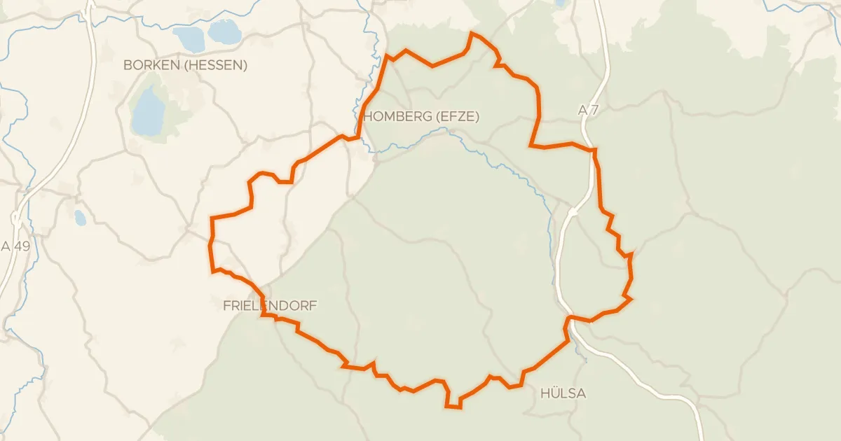
Gravel16% paved
Rondje Roßbachtal bei Völkershain en Efze
60 km↑ 1,022 m6 km away
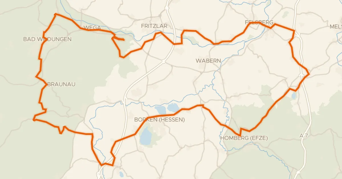
Road bike100% paved
Rondje langs de Felsburg en Burg Niederurff
100 km↑ 1,331 m11 km away
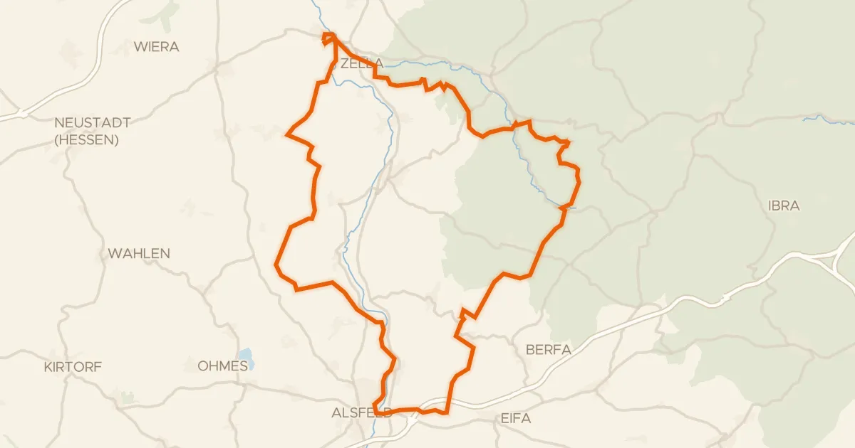
Gravel39% paved
Rondje Schloss Loshausen en Immichenhainer Teiche
60 km↑ 807 m17 km away
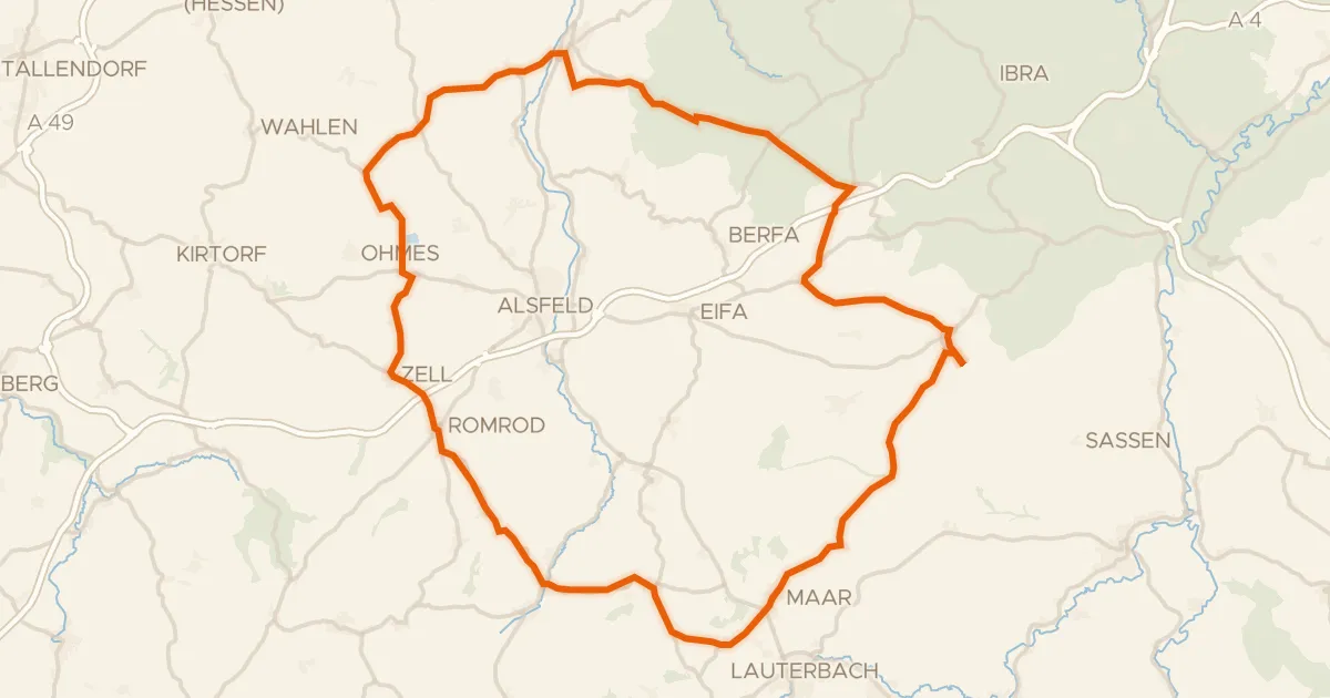
Road bike100% paved
Rondje Schloss Romrod en Schwalm
77 km↑ 931 m26 km away
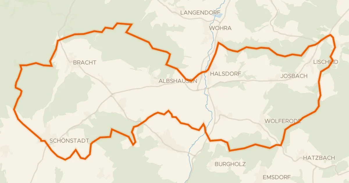
Gravel18% paved
Rondje Schloß Schönstadt en Kalkkuppen bei Winterscheid
57 km↑ 1,017 m29 km away
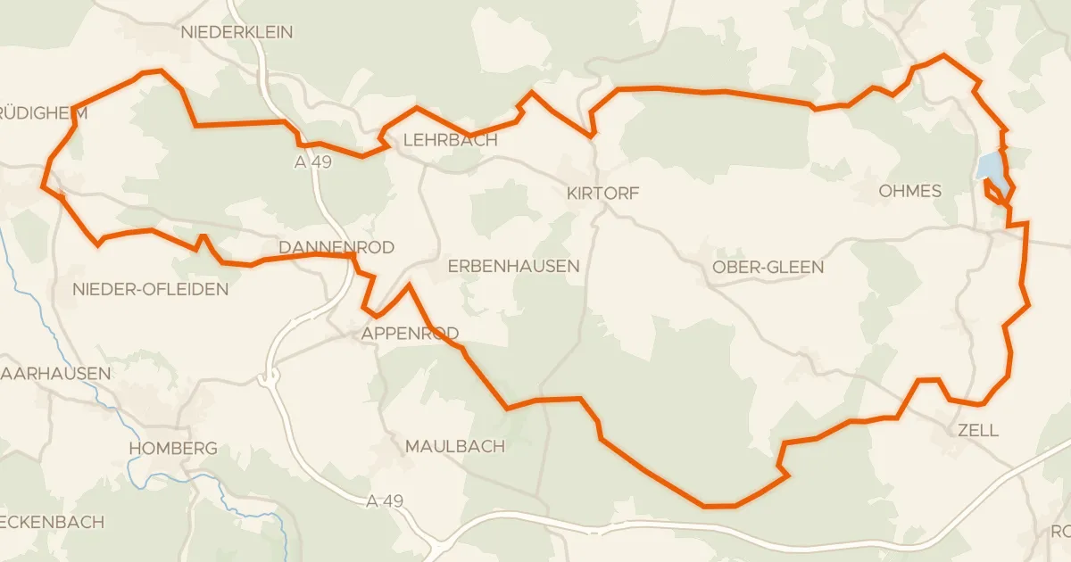
Gravel36% paved
Rondje Burg Lehrbach en Antrifttalsperre bei Angenrod
62 km↑ 602 m29 km away