Back to the librarykm 6–8km 8–9km 10–11km 15–17km 33–34km 44–46km 46–48
GravelRouteCasterRound trip
Rondje Schloss Loshausen en Immichenhainer Teiche
Distance
60 km
Ascent
807 m
Highest point
405 m
39% paved
Start from your location
Ride there from home: we find the shortest way to the loop and start the loop from there.
The ride
Roll out from Parkeerplaats In den Erlen von Loshausen and let the ride unfold: along the Alte Schwalm river, past the Schloss Loshausen manor, then beside the Schwalm itself. The Naturpark Knüll nature reserve takes you up 807 m of climbing, with 61% of the 60.1 km on unpaved surface, before the Immichenhainer Teiche nature reserve turns you back toward the start.
Climbs
Climb 1Hill
1.6 km at 4.8% · max 16.3%
Climb 2Hill
0.7 km at 3.8% · max 5.6%
Climb 3Hill
0.6 km at 4.7% · max 8.3%
Climb 4Cat. 4
1.9 km at 4.5% · max 13.1%
Climb 5Hill
0.7 km at 4.2% · max 7.7%
Climb 6Hill
1.6 km at 4.3% · max 16.2%
Climb 7Hill
1.3 km at 4.1% · max 8.1%
Routes nearby
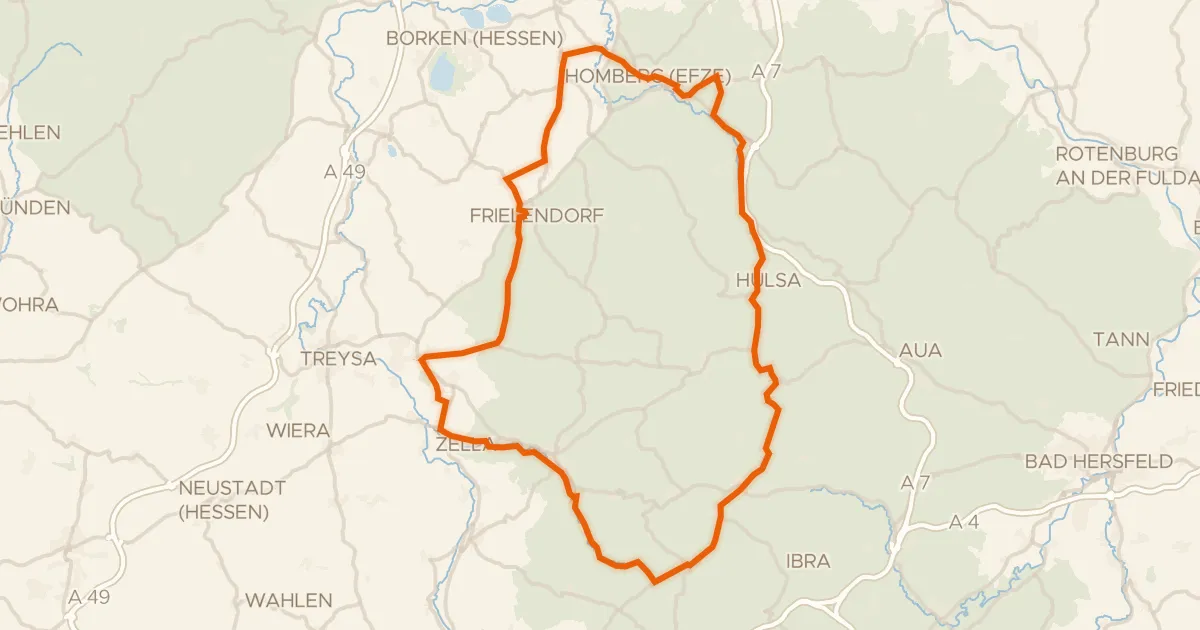
Road bike97% paved
Rondje Schloss Hausen en Kalkberg bei Weißenborn
82 km↑ 1,139 m10 km away
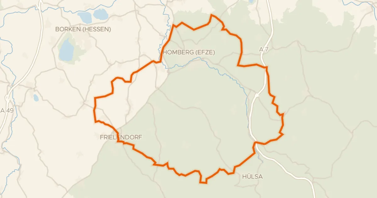
Gravel16% paved
Rondje Roßbachtal bei Völkershain en Efze
60 km↑ 1,022 m17 km away
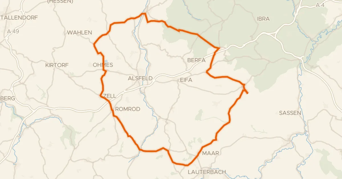
Road bike100% paved
Rondje Schloss Romrod en Schwalm
77 km↑ 931 m17 km away
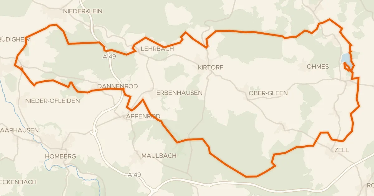
Gravel36% paved
Rondje Burg Lehrbach en Antrifttalsperre bei Angenrod
62 km↑ 602 m18 km away
Road bike100% paved
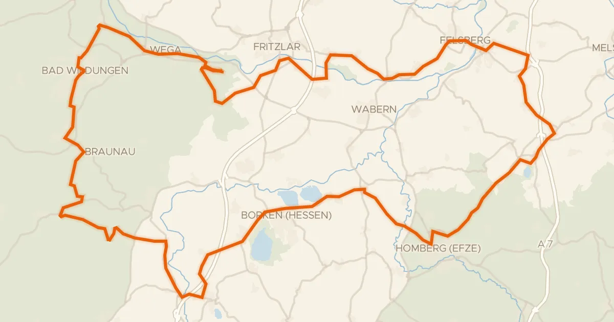
Rondje langs de Felsburg en Burg Niederurff
100 km↑ 1,331 m22 km away
Gravel18% paved
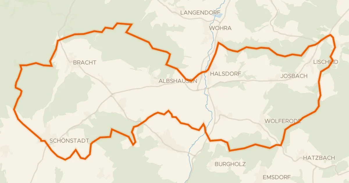
Rondje Schloß Schönstadt en Kalkkuppen bei Winterscheid
57 km↑ 1,017 m23 km away