Back to the librarykm 0–3km 18–18km 22–24km 25–26km 38–42km 51–51km 51–52
GravelRouteCasterRound trip
Rondje Quebst en Schlitz
Distance
55 km
Ascent
1,003 m
Highest point
436 m
21% paved
Start from your location
Ride there from home: we find the shortest way to the loop and start the loop from there.
The ride
Roll out from Parkeerplaats Bernshäuser Sumpf and let the ride unfold: along the Schlitz river, then the Fulda, before the Breitenbachtal bei Michelsrombach nature reserve pulls you onward. With 1003 m of climbing across 55.4 km, the legs will know they've worked, and most of the route runs unpaved. The Quebst viewpoint is your reward before the road turns you back toward the start.
Climbs
Climb 1Cat. 4
2.6 km at 6% · max 21.8%
Climb 2Hill
0.8 km at 3.5% · max 8.1%
Climb 3Cat. 4
2 km at 4.8% · max 19.2%
Climb 4Hill
0.9 km at 4.4% · max 10.6%
Climb 5Cat. 4
3.5 km at 3.5% · max 17.6%
Climb 6Hill
0.4 km at 10.2% · max 14.7%
Climb 7Hill
0.6 km at 8.5% · max 14.6%
Routes nearby
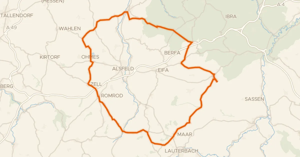
Road bike100% paved
Rondje Schloss Romrod en Schwalm
77 km↑ 931 m17 km away
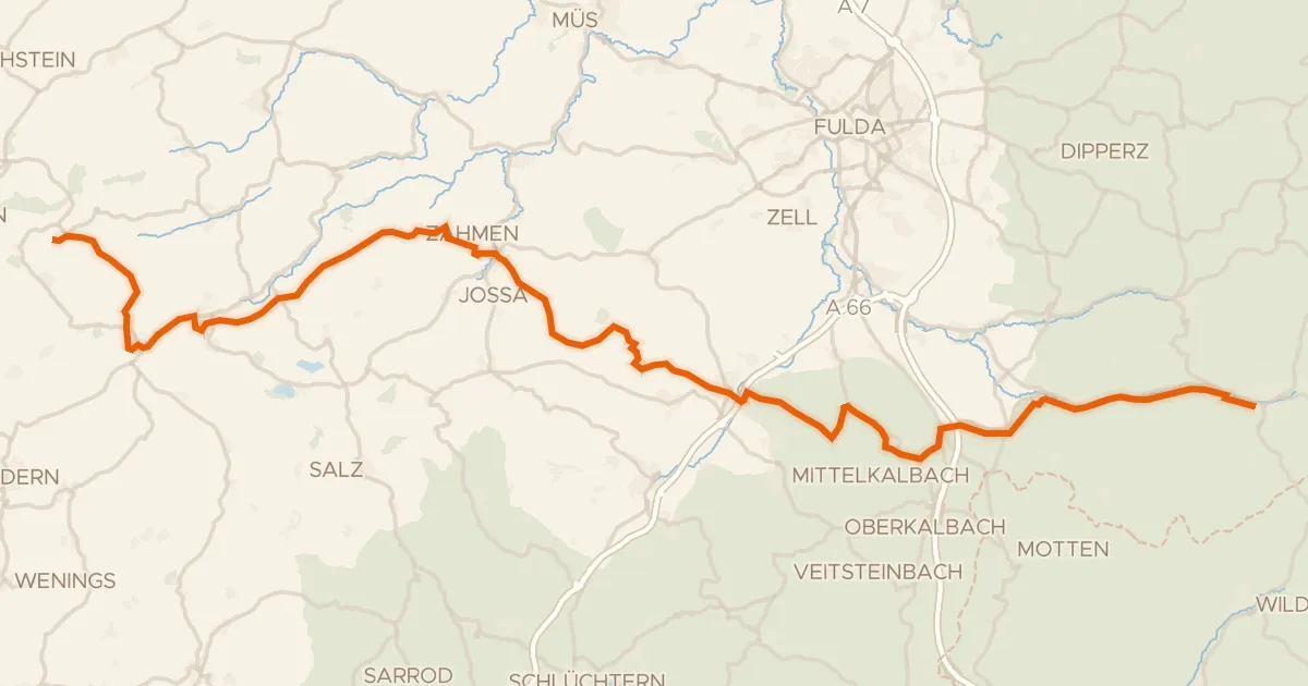
Touring75% paved
Gipfeltour
71 km↑ 1,140 m21 km away
Rhein-Weser-Wasserscheide
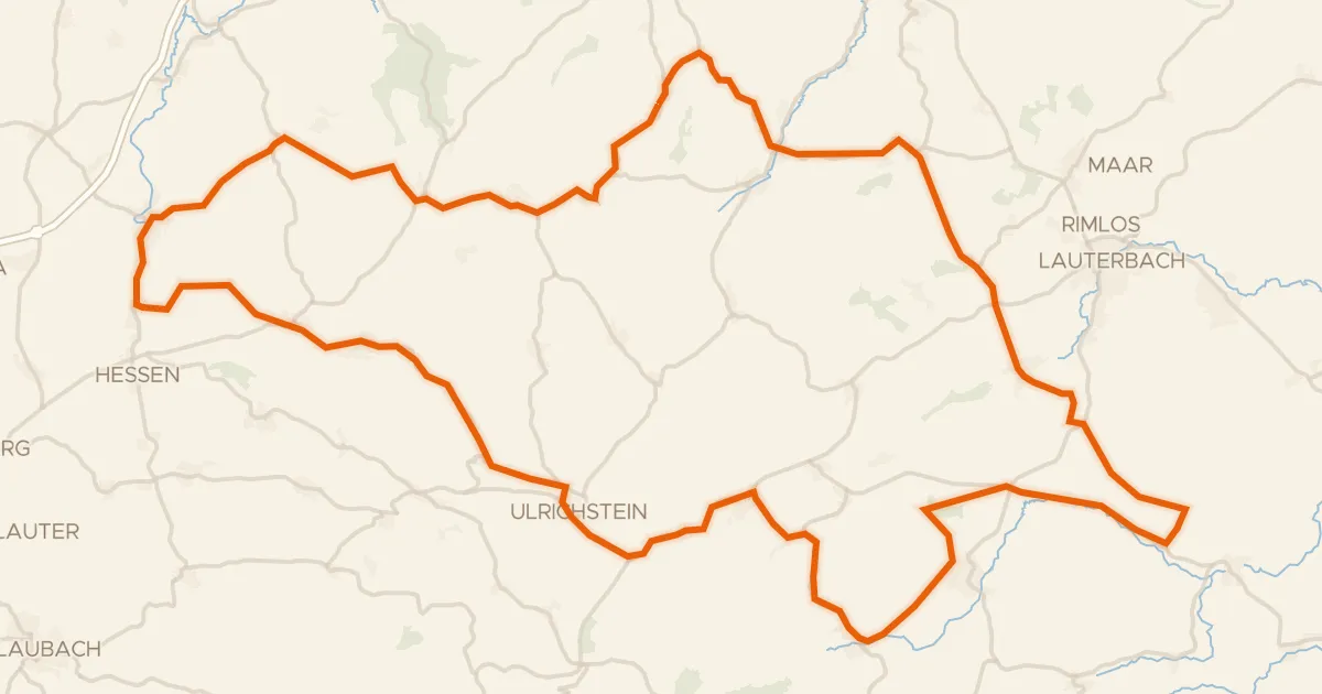
Road bike99% paved
Rondje Schloss Eisenbach en Burg Ulrichstein
88 km↑ 1,217 m22 km away
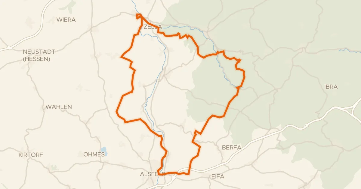
Gravel39% paved
Rondje Schloss Loshausen en Immichenhainer Teiche
60 km↑ 807 m24 km away
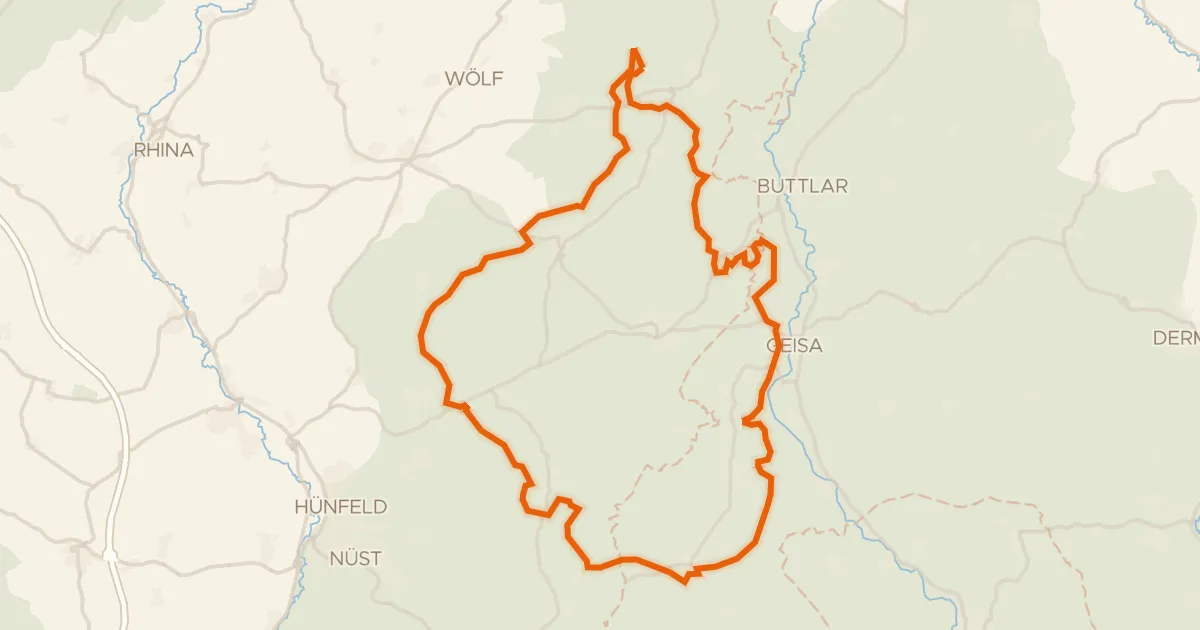
Gravel15% paved
Rondje Schloss Geisa en Breiter Berg bei Haselstein
60 km↑ 1,437 m25 km away
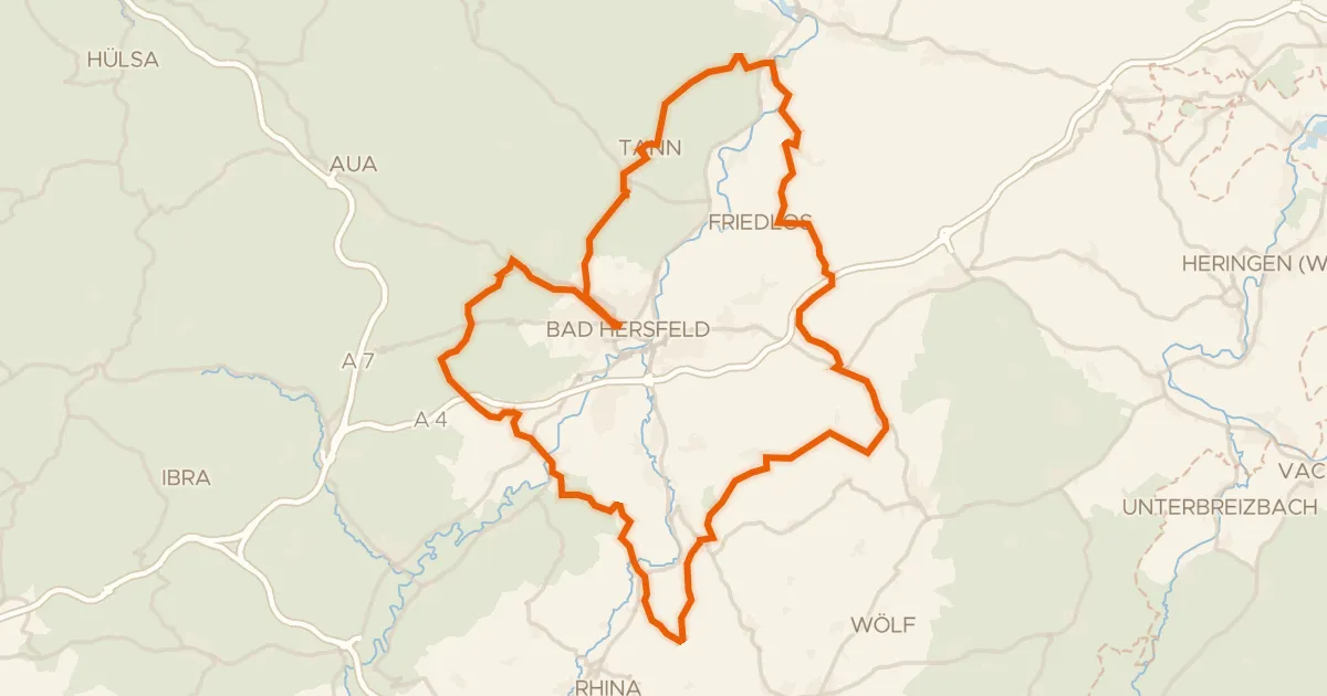
Gravel23% paved
Rondje Alte Fulda bei Asbach en Eichberg
76 km↑ 1,732 m27 km away