Back to the librarykm 9–12km 19–20km 28–29km 45–46km 51–53km 54–55km 63–69
Road bikeMade by RouteCasterRound trip
Rondje Schloss Andelfingen en Thur
Distance
72 km
Ascent
890 m
Highest point
625 m
99% paved
Start from your location
Ride there from home: we find the shortest way to the loop and start the loop from there.
The ride
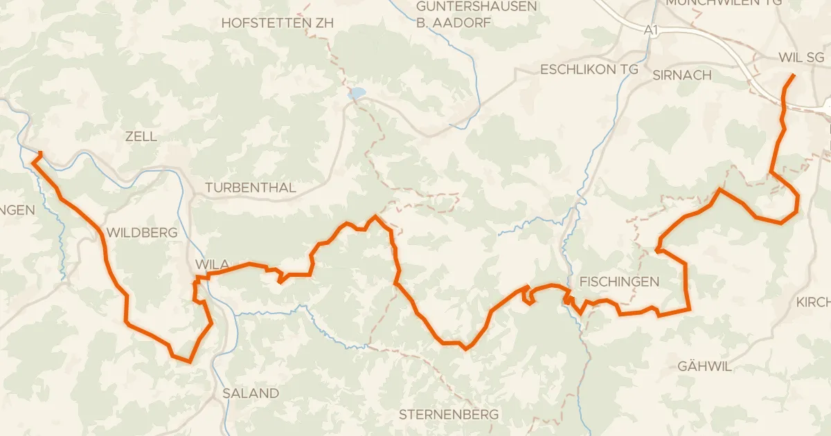
From Brütten you roll out through the Regionaler Naturpark Schaffhausen, then climb past the castle sites of Schollenberg and Hächigen. The Thur, Eulach and Töss rivers line the way, with the old castle and Schloss Andelfingen in between. With 71.7 km and 890 m of climbing, you finish back in Brütten.
Climbs
Climb 1Cat. 4
2.5 km at 4.6% · max 15.1%
Climb 2Hill
1.3 km at 3% · max 6.9%
Climb 3Hill
0.8 km at 3.7% · max 8.6%
Climb 4Hill
0.9 km at 3.8% · max 11%
Climb 5Hill
1.6 km at 4.6% · max 13.4%
Climb 6Hill
1.2 km at 3.7% · max 7.5%
Climb 7Cat. 3
5.6 km at 3.7% · max 21.9%
Routes nearby
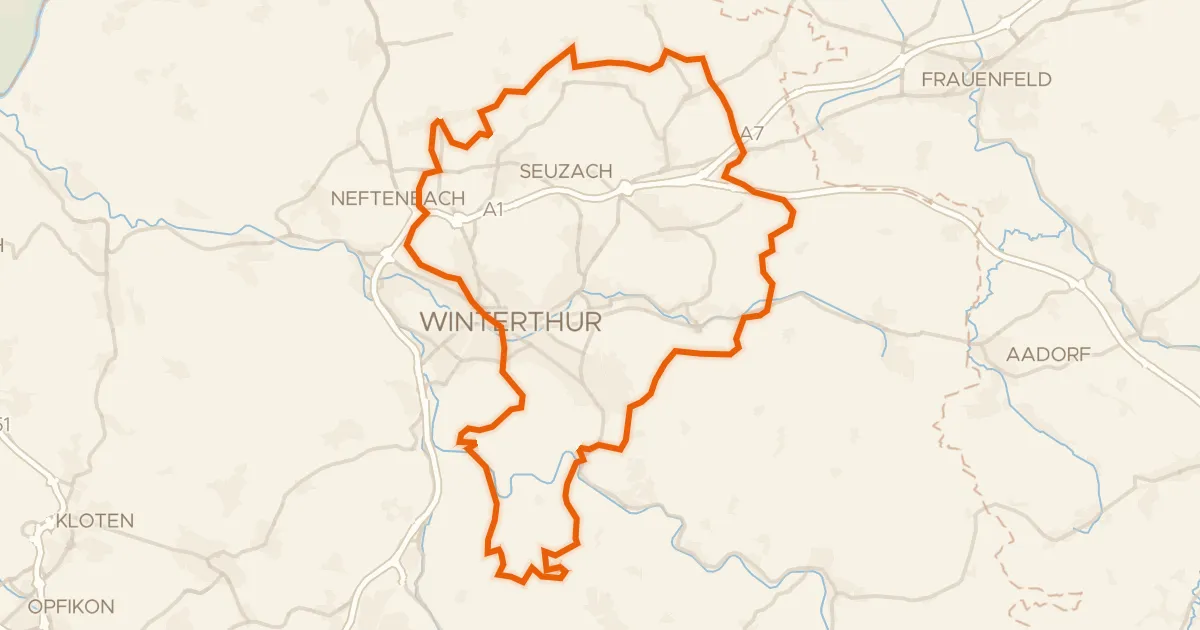
Gravel25% paved
Rondje Eschenbergturm en Töss
61 km↑ 1,198 m7 km away

Gravel25% paved
Rondje Römerkastell Irgenhausen en Pfäffikersee
59 km↑ 1,334 m10 km away
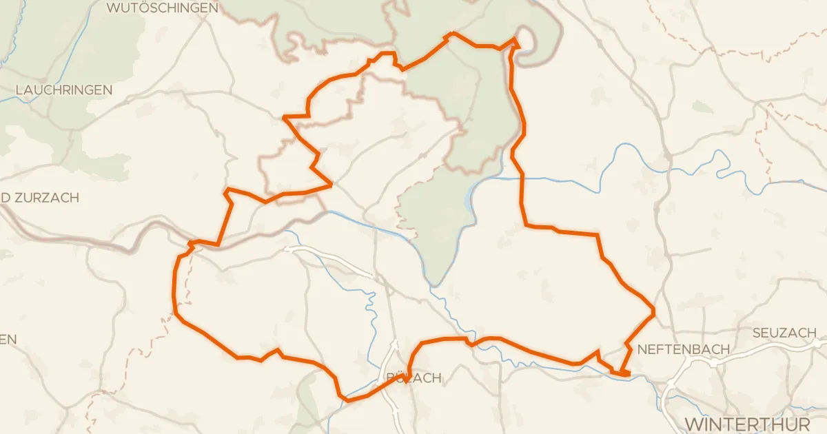
Road bike98% paved
Rondje langs de Töss en de Thur
78 km↑ 1,050 m15 km away
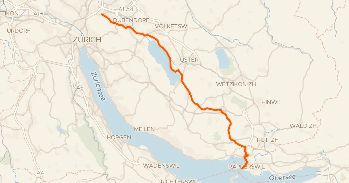
Road bike96% paved
Glatt-Route
35 km↑ 307 m18 km away
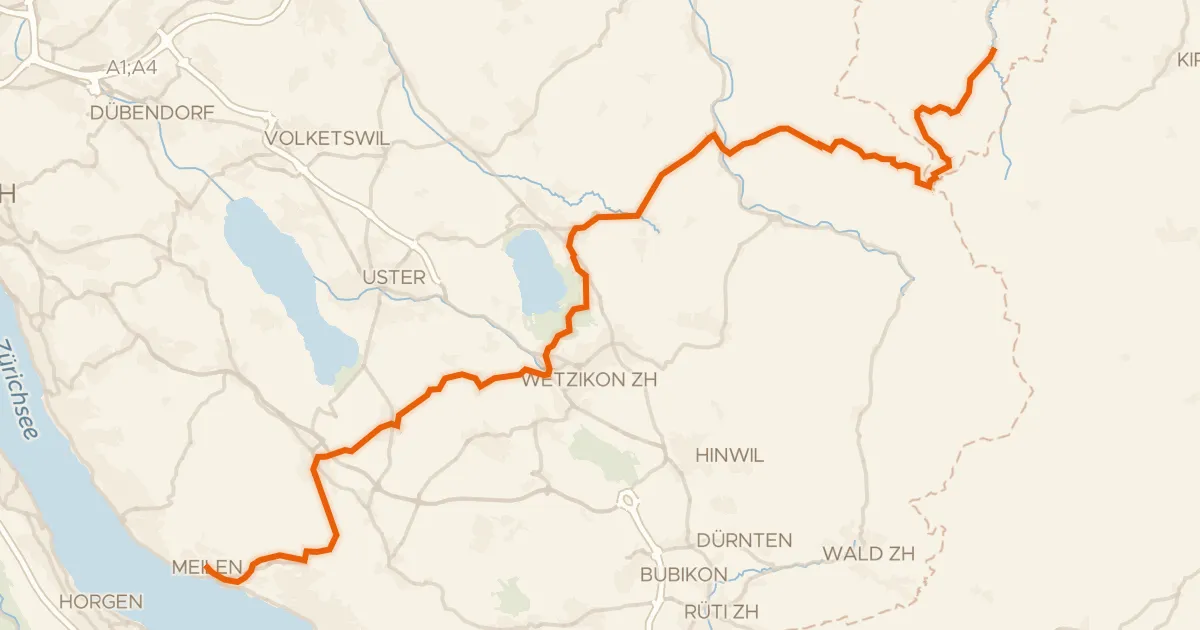
Road bike98% paved
Pilger-Route
47 km↑ 944 m18 km away
Sternenbergpass · Wasserscheide Limmat/Aa
Touring76% paved
Herzschlaufe Wil – Etappe 1
43 km↑ 1,096 m19 km away