Back to the librarykm 10–11km 14–15km 17–18km 18–21km 24–25km 25–27km 28–29km 33–36km 39–41km 46–47km 47–49
GravelMade by RouteCasterRound trip
Rondje Eschenbergturm en Töss
Distance
61 km
Ascent
1,198 m
Highest point
701 m
25% paved
Start from your location
Ride there from home: we find the shortest way to the loop and start the loop from there.
The ride
From Hettlingen you roll out toward the Töss river, then climb to the Eschenbergturm viewpoint for the wide look back. On you go past the Mattenbach river and the Stadthaus-Brunnen lake, before the Eulach river leads you to the Chöpfi viewpoint. Of the 60.9 km, three quarters run unpaved, and the route ends back in Hettlingen.
Climbs
Climb 1Hill
1.9 km at 3.8% · max 15.7%
Climb 2Hill
1.1 km at 4.8% · max 12.5%
Climb 3Hill
0.9 km at 5% · max 15.9%
Climb 4Cat. 4
2.7 km at 3.3% · max 10.5%
Climb 5Hill
0.6 km at 6.1% · max 14.9%
Climb 6Hill
1.4 km at 5.1% · max 13.4%
Climb 7Hill
1.6 km at 3.5% · max 12.8%
Climb 8Cat. 3
2.7 km at 8.3% · max 20.5%
Climb 9Hill
2 km at 3.1% · max 9.1%
Climb 10Hill
1.3 km at 5.2% · max 28.1%
Climb 11Hill
1.7 km at 4.3% · max 12.4%
Routes nearby
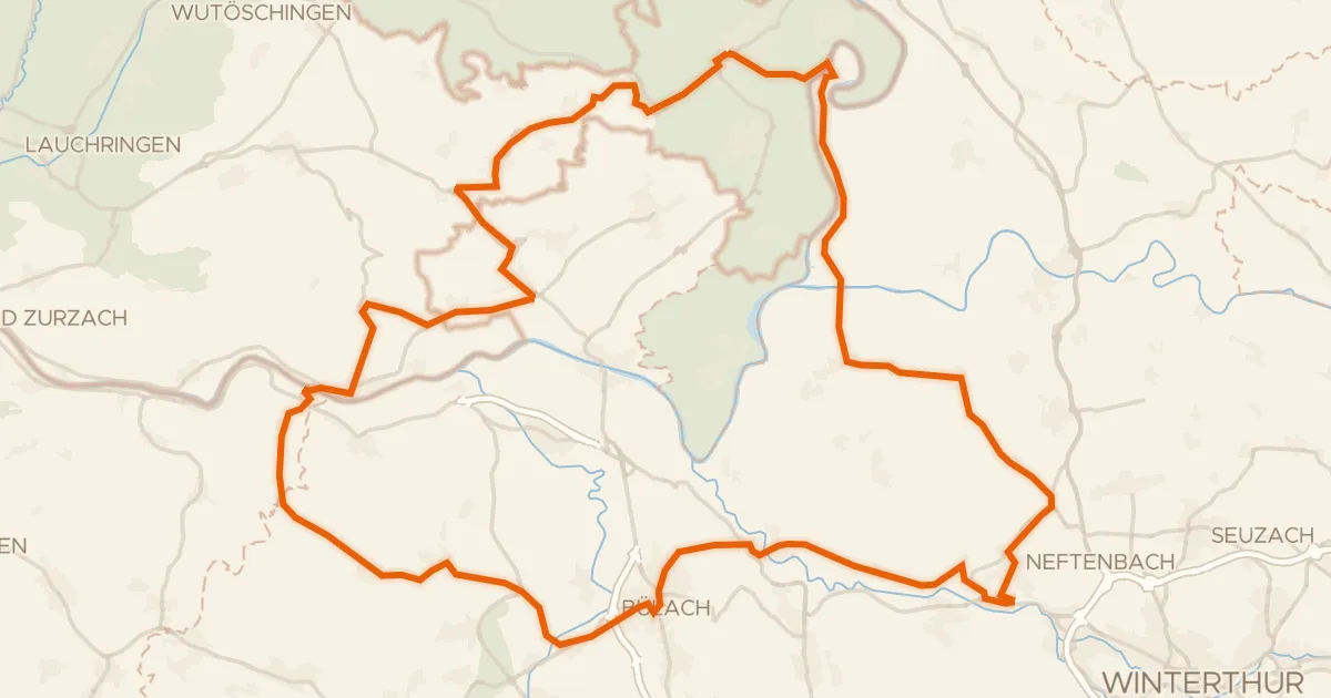
Road bike98% paved
Rondje langs de Töss en de Thur
78 km↑ 1,050 m13 km away
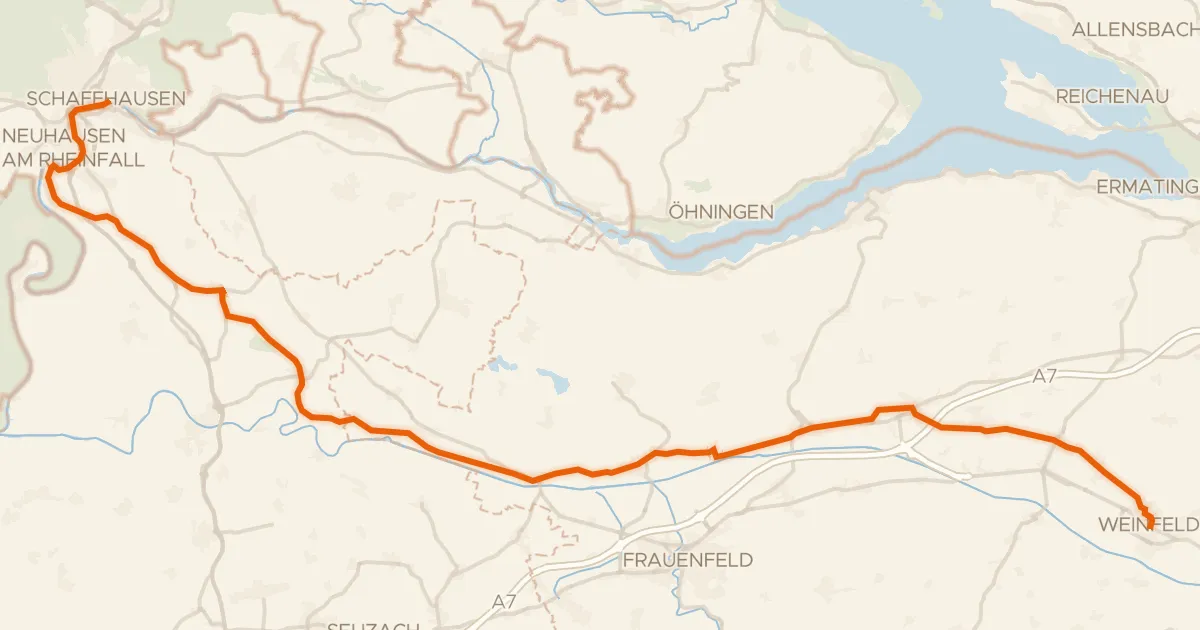
Touring91% paved
Ostschweizer Wein-Route
52 km↑ 585 m15 km away

Gravel25% paved
Rondje Römerkastell Irgenhausen en Pfäffikersee
59 km↑ 1,334 m15 km away
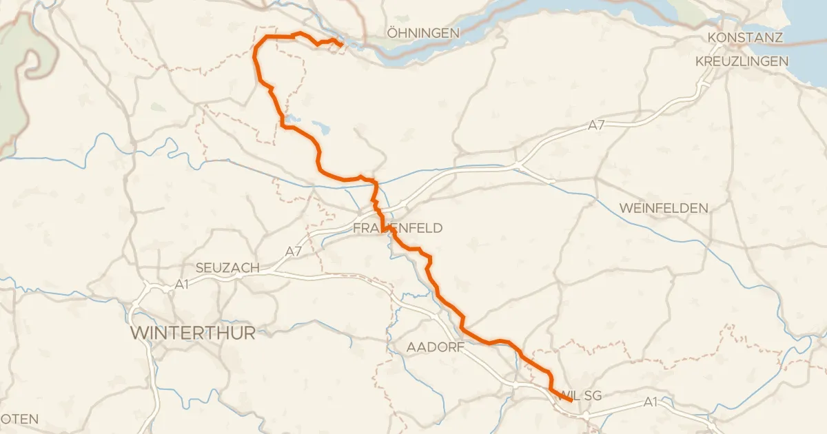
Touring91% paved
Kartäuser-Fürstenland-Route
43 km↑ 573 m15 km away
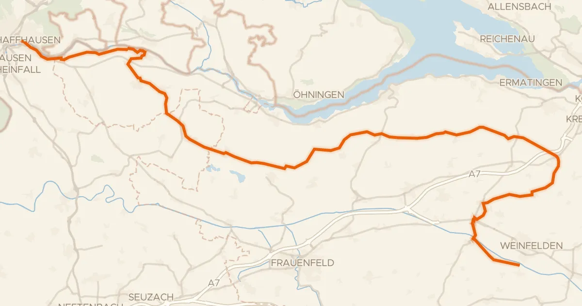
Touring79% paved
Geo-Route
68 km↑ 709 m16 km away
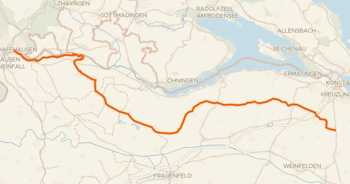
Touring81% paved
Seerücken-Route
56 km↑ 623 m19 km away