Back to the librarykm 29–35
Touring
Seerücken-Route
Distance
56 km
Ascent
623 m
Highest point
628 m
81% paved
The ride
Here's a 56.4 km ride with 623 m of climbing, mixing 81% paved and 18% unpaved surface. You'll roll along tertiary roads (34%), dirt tracks (26%) and country roads (22%). Protected cycleways and bike-network roads cover 38% of the route, and none of it runs on busy roads over 50 km/h without a cycle path. Enjoy the mix of tarmac and dirt!
Climbs
Climb 1Cat. 3
5.7 km at 3.1% · max 13.2%
Routes nearby
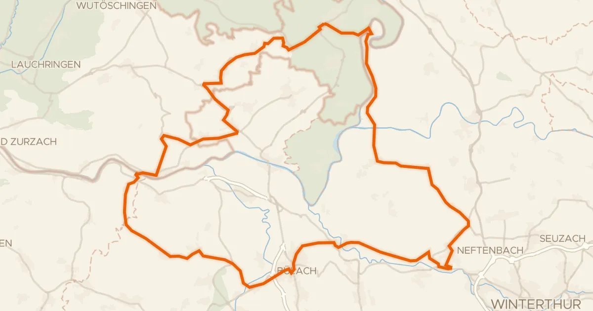
Road bike98% paved
Rondje langs de Töss en de Thur
78 km↑ 1,050 m15 km away
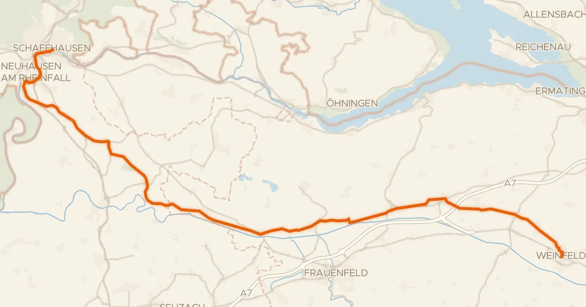
Touring91% paved
Ostschweizer Wein-Route
52 km↑ 585 m18 km away
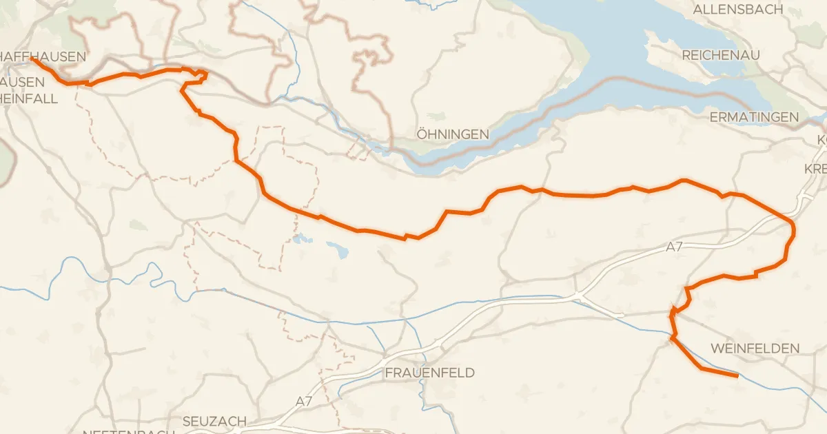
Touring79% paved
Geo-Route
68 km↑ 709 m20 km away
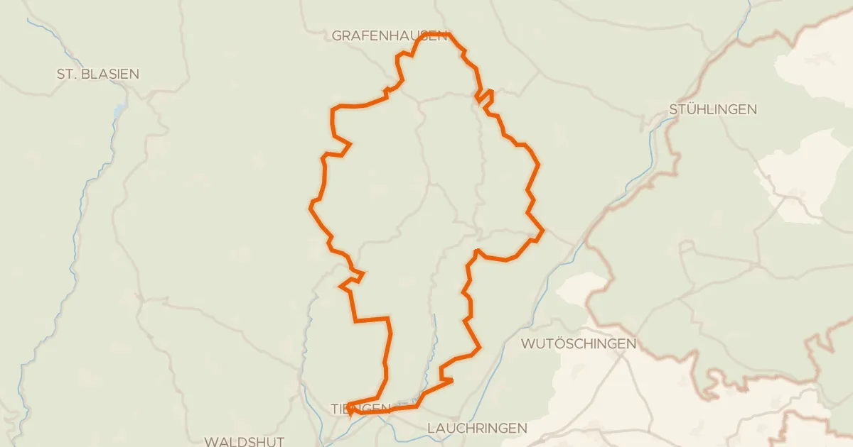
Gravel29% paved
Rondje Ruine Steinegg en Schwarza-Schlücht-Tal
63 km↑ 1,501 m24 km away
Road bike100% paved
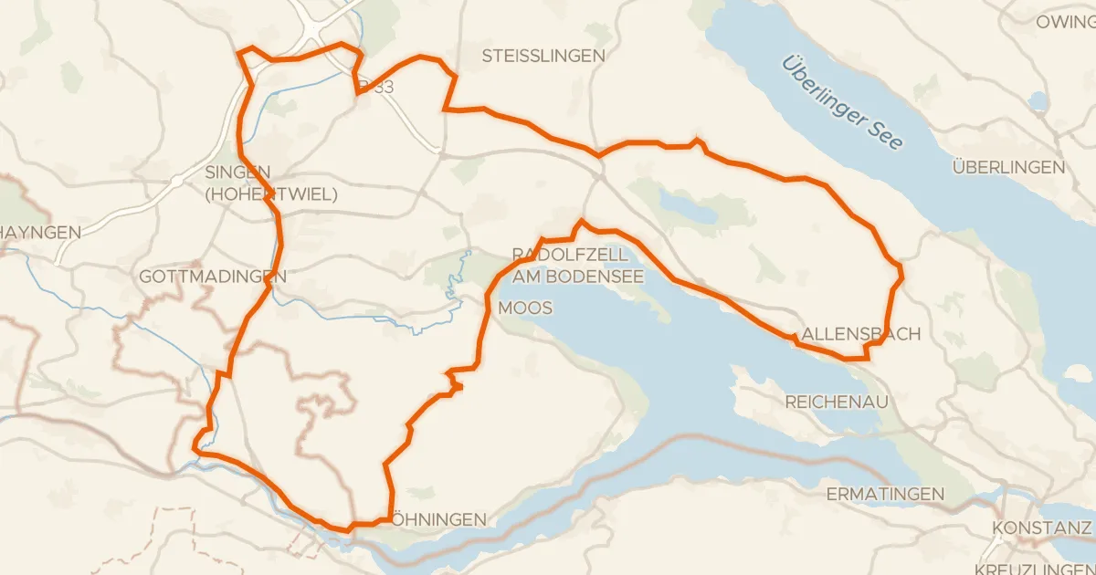
Rondje Oberes Schloss en Radolfzeller Aachmündung
86 km↑ 804 m24 km away
Road bike100% paved
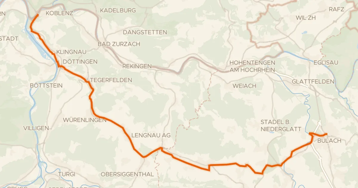
Studenland–Töss-Römer-Route
37 km↑ 309 m25 km away