Back to the library
Road bike
Studenland–Töss-Römer-Route
Distance
37 km
Ascent
309 m
Highest point
489 m
100% paved
The ride
A 37.4 km ride with 309 m of climbing, and every metre of it paved — 0% unpaved. Country roads make up 26%, dirt tracks 24% and residential roads 18%. Traffic exposure stays low: 64% runs on protected cycleways and bike-network roads, with 0% on busy roads above 50 km/h without a cycle path. Roll out and enjoy the mix.
Routes nearby
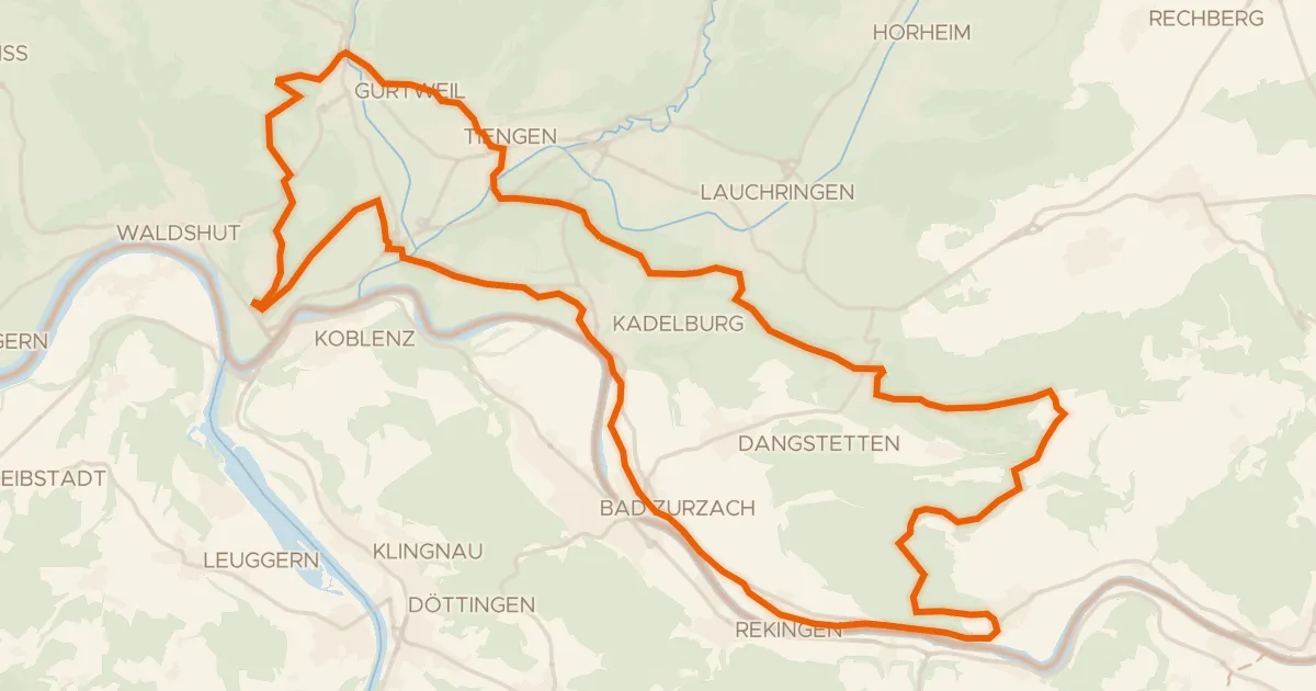
Gravel59% paved
enjoy&bike Küssaberg
45 km↑ 937 m6 km away
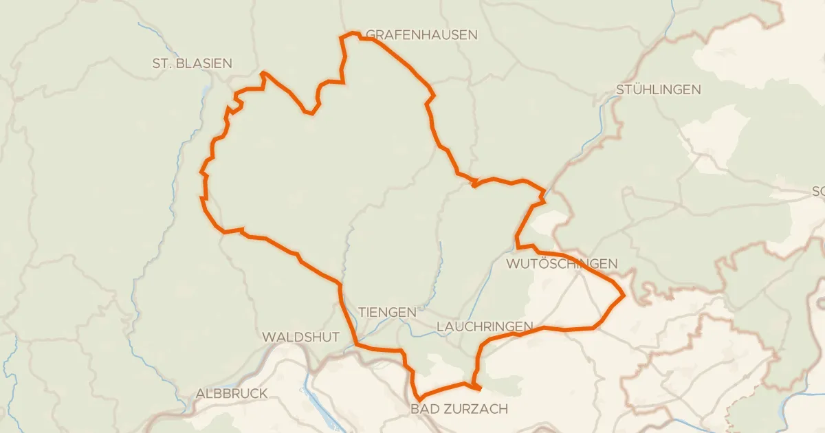
Road bike100% paved
Rondje Ruine Weißenburg en Regionaler Naturpark Schaffhausen
90 km↑ 1,689 m10 km away
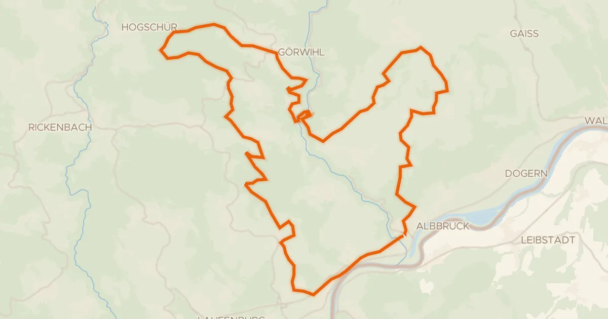
Touring72% paved
enjoy&bike Albbruck
42 km↑ 1,009 m11 km away
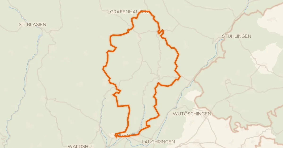
Gravel29% paved
Rondje Ruine Steinegg en Schwarza-Schlücht-Tal
63 km↑ 1,501 m12 km away
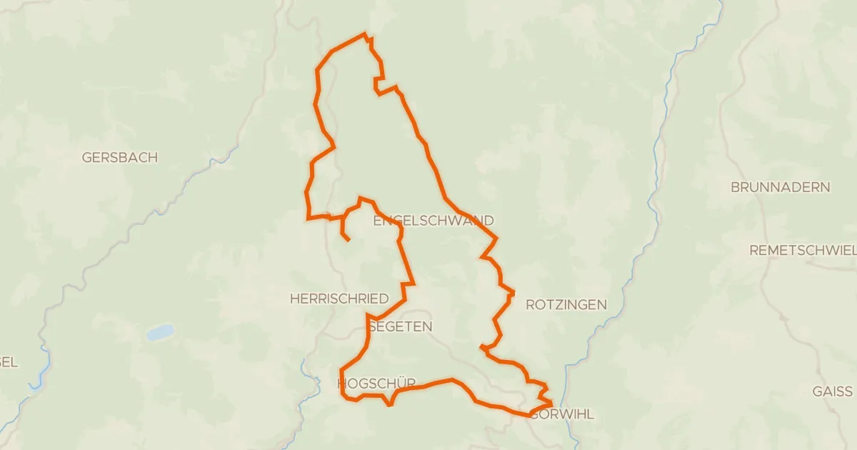
Gravel56% paved
enjoy&bike Görwihl
36 km↑ 754 m16 km away
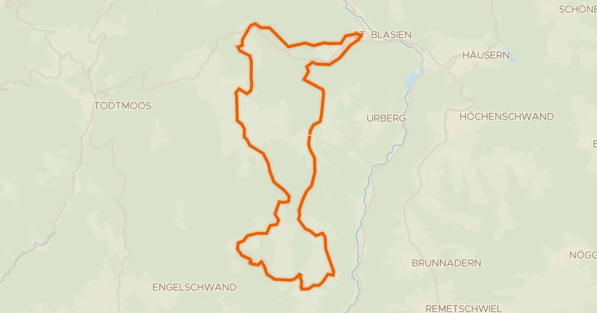
Touring76% paved
RouteWT 9b - Panorama-Lang-Route
33 km↑ 759 m16 km away