Back to the librarykm 17 · Jul 2026 · © lin_wang / Mapillary, CC BY-SA km 40 · Jul 2026 · © thetornado76 / Mapillary, CC BY-SA km 66 · Jan 2020 · © kleinbrunnadern / Mapillary, CC BY-SA km 70 · Mar 2020 · © stefan005 / Mapillary, CC BY-SA km 4–5km 7–9km 17–20km 34–36km 48–69km 74–77km 80–83
Road bikeRouteCasterRound trip
Rondje Ruine Weißenburg en Regionaler Naturpark Schaffhausen
Distance
90 km
Ascent
1,689 m
Highest point
1,019 m
100% paved
Start from your location
Ride there from home: we find the shortest way to the loop and start the loop from there.
The ride
Roll out of Birkendorf and the climbing starts early, on a route that stays 100% paved from first metre to last. Past the Katzenbuck-Halde nature reserve you cross into the Regionaler Naturpark Schaffhausen, then roll by two castles, Ruine Weißenburg and Schloss Gurtweil. The Tiefenhäuser Moos nature reserve and the Rothaus-Zäpfle-Turm viewpoint break up the 1689 m of elevation, before the Feldberg-Schluchsee nature reserve sends you home.
Along the way
Climbs
Climb 1Hill
1 km at 3.6% · max 5.6%
Climb 2Cat. 4
1.9 km at 7.1% · max 12.1%
Climb 3Cat. 4
2.8 km at 4.3% · max 11.2%
Climb 4Cat. 4
1.9 km at 4.3% · max 12.2%
Climb 5Cat. 1
20.9 km at 3.3% · max 14.6%
Climb 6Cat. 3
3.3 km at 5% · max 14.6%
Climb 7Cat. 3
3 km at 6.3% · max 23.5%
Routes nearby
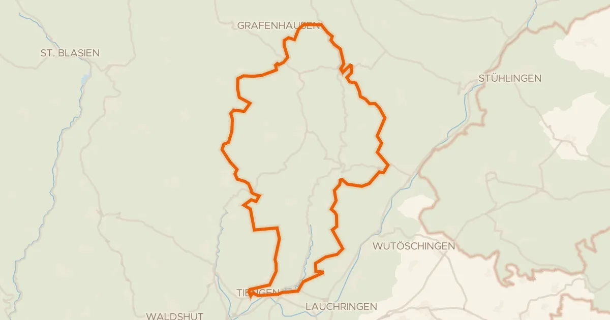
Gravel29% paved
Rondje Ruine Steinegg en Schwarza-Schlücht-Tal
63 km↑ 1,501 m5 km away
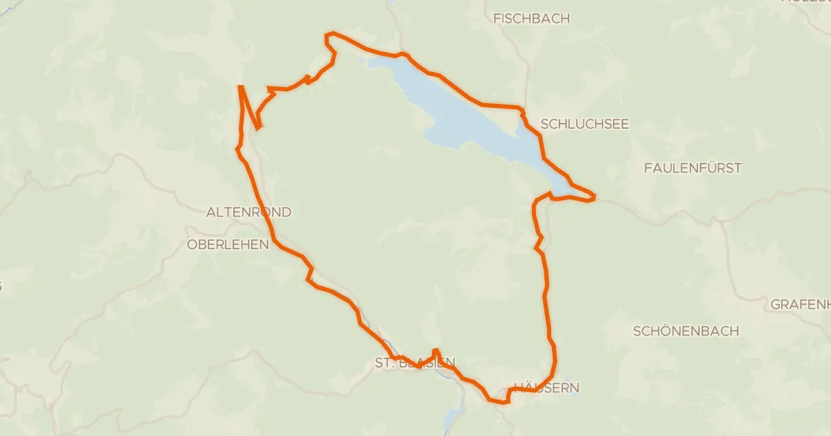
Touring75% paved
RouteWT 12 - St. Blasierland-Schluchsee-Tour
39 km↑ 772 m14 km away
Äulemer Kreuz
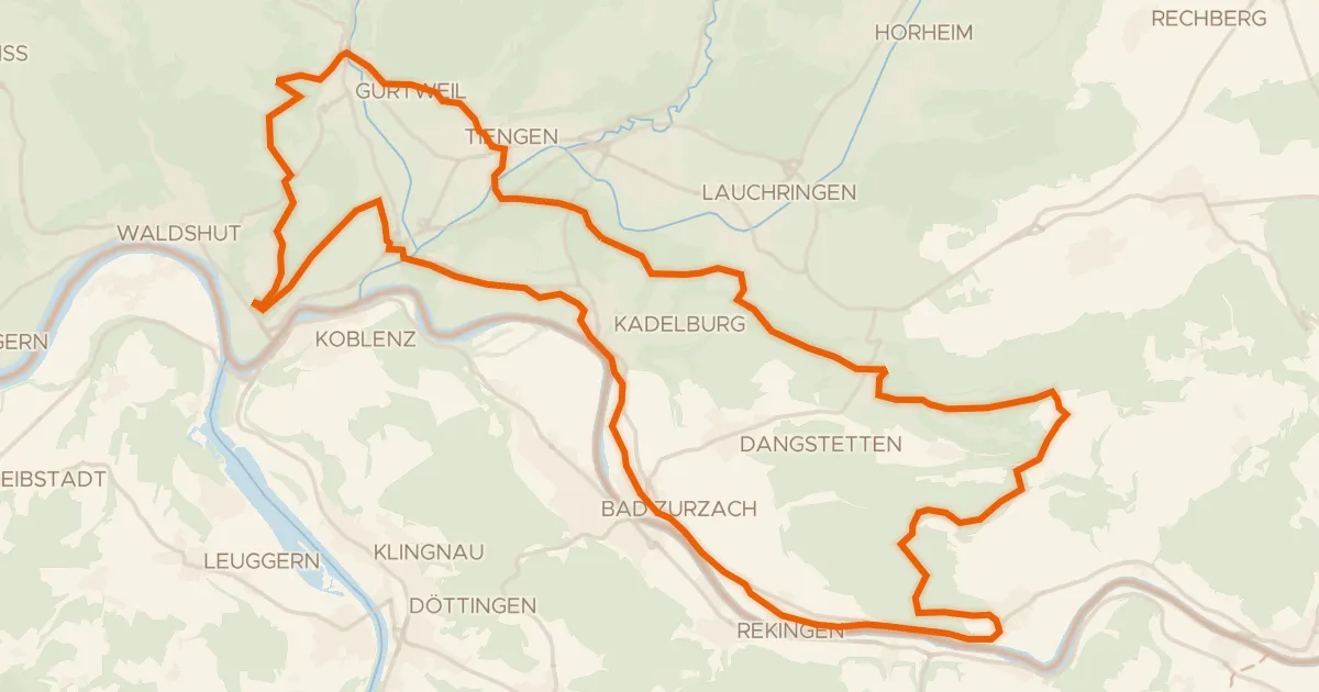
Gravel59% paved
enjoy&bike Küssaberg
45 km↑ 937 m16 km away
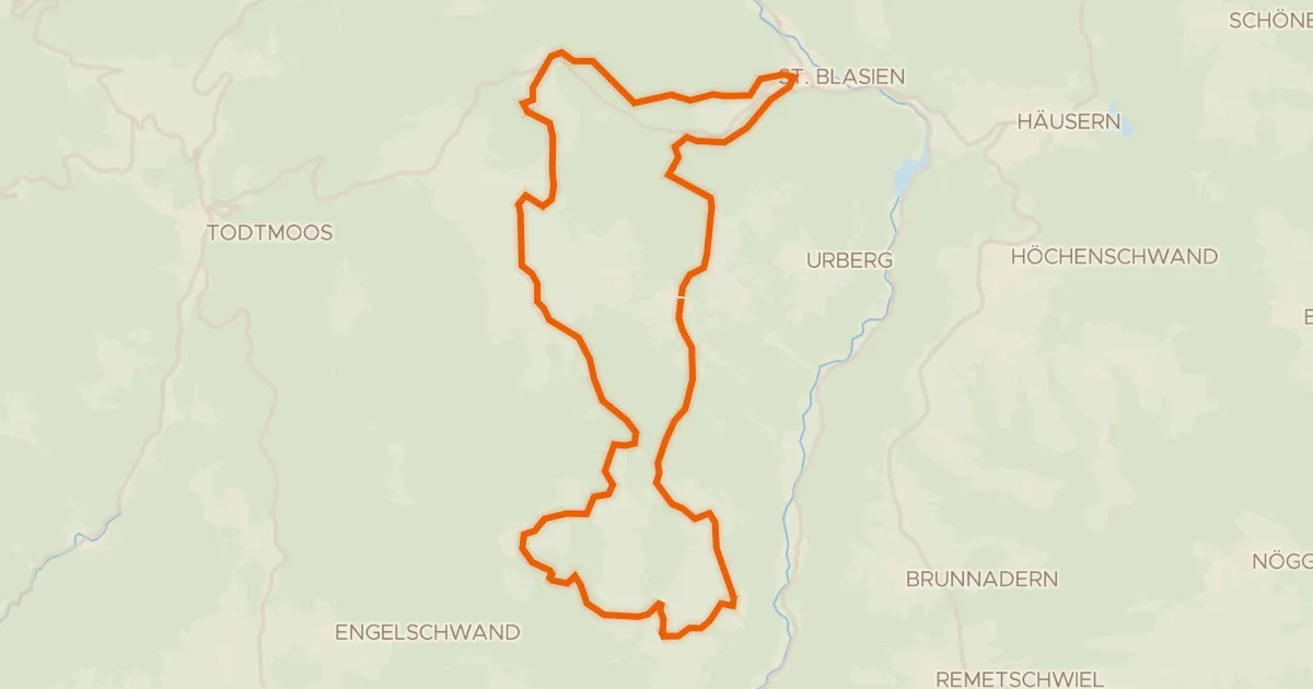
Touring76% paved
RouteWT 9b - Panorama-Lang-Route
33 km↑ 759 m16 km away
Gravel12% paved
Rondje Wutachschlucht en Feldberg-Schluchsee
61 km↑ 1,501 m16 km away
Gravel27% paved
enjoy&bike Ibach
24 km↑ 615 m19 km away