Back to the librarykm 7–8km 9–10km 11–13km 13–14km 14–15km 18–19km 20–24km 31–32km 32–35km 37–37km 38–40km 46–46km 50–51km 52–53km 58–59
GravelRouteCasterRound trip
Rondje Ruine Steinegg en Schwarza-Schlücht-Tal
Distance
63 km
Ascent
1,501 m
Highest point
888 m
29% paved
Start from your location
Ride there from home: we find the shortest way to the loop and start the loop from there.
The ride
From Tiengen you roll out past Schloss Tiengen, then by the Alte Ölmühle watermill and along the Steina river. The route climbs 1501 m over 63.0 km, mostly unpaved, up to the Roggenbacher Schlösser and the Ruine Steinegg. You pass the Katzenbuck-Halde and Schwarza-Schlücht-Tal nature reserves before the Berghaus, then back to Tiengen.
Climbs
Climb 1Hill
1.2 km at 3.5% · max 12.1%
Climb 2Cat. 4
1.4 km at 5.9% · max 16.3%
Climb 3Cat. 4
2.4 km at 3.5% · max 10.5%
Climb 4Hill
0.4 km at 10.5% · max 14.1%
Climb 5Cat. 4
1 km at 8% · max 16.5%
Climb 6Cat. 4
1.2 km at 8.7% · max 21.3%
Climb 7Cat. 3
4.2 km at 4.9% · max 16.9%
Climb 8Hill
1.3 km at 3.6% · max 13.9%
Climb 9Cat. 4
2.9 km at 4.7% · max 18.4%
Climb 10Hill
0.4 km at 6.4% · max 10.8%
Climb 11Cat. 4
2.5 km at 5.4% · max 13.1%
Climb 12Hill
0.9 km at 6.2% · max 15.1%
Climb 13Cat. 4
1.2 km at 10.4% · max 19.5%
Climb 14Hill
1.2 km at 5.3% · max 13.8%
Climb 15Hill
0.8 km at 5% · max 11.9%
Routes nearby
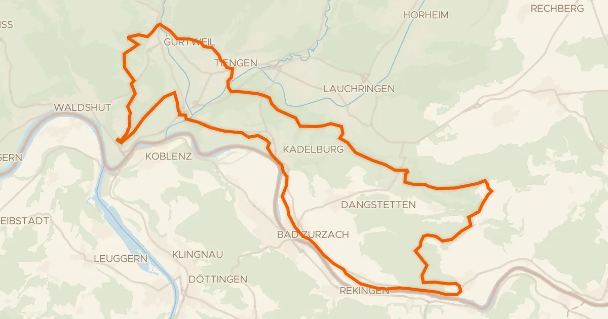
Gravel59% paved
enjoy&bike Küssaberg
45 km↑ 937 m4 km away
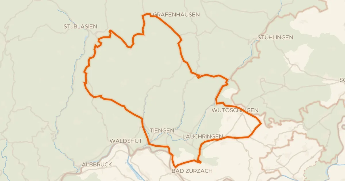
Road bike100% paved
Rondje Ruine Weißenburg en Regionaler Naturpark Schaffhausen
90 km↑ 1,689 m6 km away
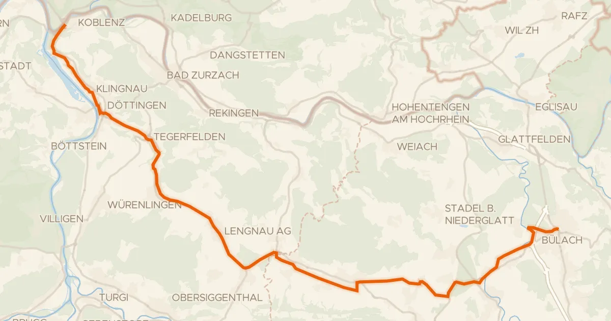
Road bike100% paved
Studenland–Töss-Römer-Route
37 km↑ 309 m12 km away
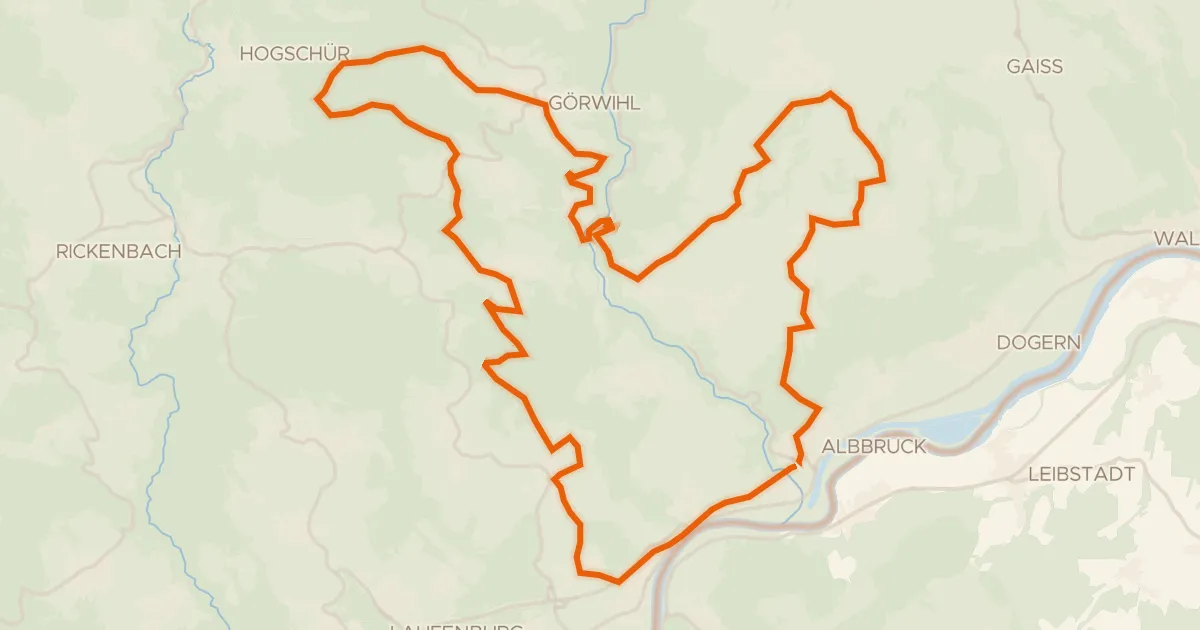
Touring72% paved
enjoy&bike Albbruck
42 km↑ 1,009 m14 km away
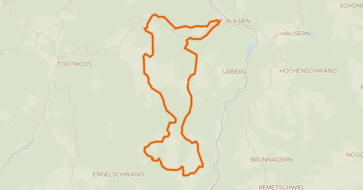
Touring76% paved
RouteWT 9b - Panorama-Lang-Route
33 km↑ 759 m17 km away
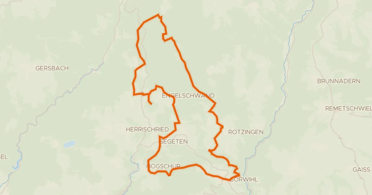
Gravel56% paved
enjoy&bike Görwihl
36 km↑ 754 m18 km away