Back to the librarykm 0–1km 9–10km 11–13km 14–20km 21–23km 23–25km 26–27km 28–29km 32–33km 35–35km 36–37km 40–43km 45–46km 46–47km 50–54km 56–58
GravelRouteCasterRound trip
Rondje Wutachschlucht en Feldberg-Schluchsee
Distance
61 km
Ascent
1,501 m
Highest point
1,137 m
12% paved
Start from your location
Ride there from home: we find the shortest way to the loop and start the loop from there.
The ride
Roll out of Friedenweiler and the route quickly trades tarmac for the rough stuff, with most of the 60.7 km running unpaved. You dip into the Wutachschlucht nature reserve, follow the Wutach river, then climb on toward the Feldberg-Schluchsee nature reserve. A pause by the Windgfällweiher lake, and the 1501 m of climbing finally tilt back toward home.
Climbs
Climb 1Hill
0.7 km at 7.5% · max 14.7%
Climb 2Hill
1 km at 3.2% · max 7.6%
Climb 3Cat. 4
1.7 km at 4.9% · max 15%
Climb 4Cat. 3
6.5 km at 3.7% · max 14.1%
Climb 5Cat. 4
2.2 km at 5.7% · max 22.1%
Climb 6Hill
1.3 km at 3.4% · max 7.5%
Climb 7Hill
1.5 km at 4% · max 12.3%
Climb 8Hill
1.4 km at 4.2% · max 11.8%
Climb 9Hill
0.7 km at 8.9% · max 11.8%
Climb 10Hill
0.7 km at 4.2% · max 12.6%
Climb 11Hill
1.6 km at 4.2% · max 12.7%
Climb 12Cat. 4
2.3 km at 6.9% · max 13.9%
Climb 13Hill
0.3 km at 10.8% · max 13.5%
Climb 14Hill
0.8 km at 3.3% · max 7.1%
Climb 15Cat. 3
3.5 km at 6.9% · max 26.9%
Climb 16Cat. 4
2 km at 5.9% · max 21.7%
Routes nearby
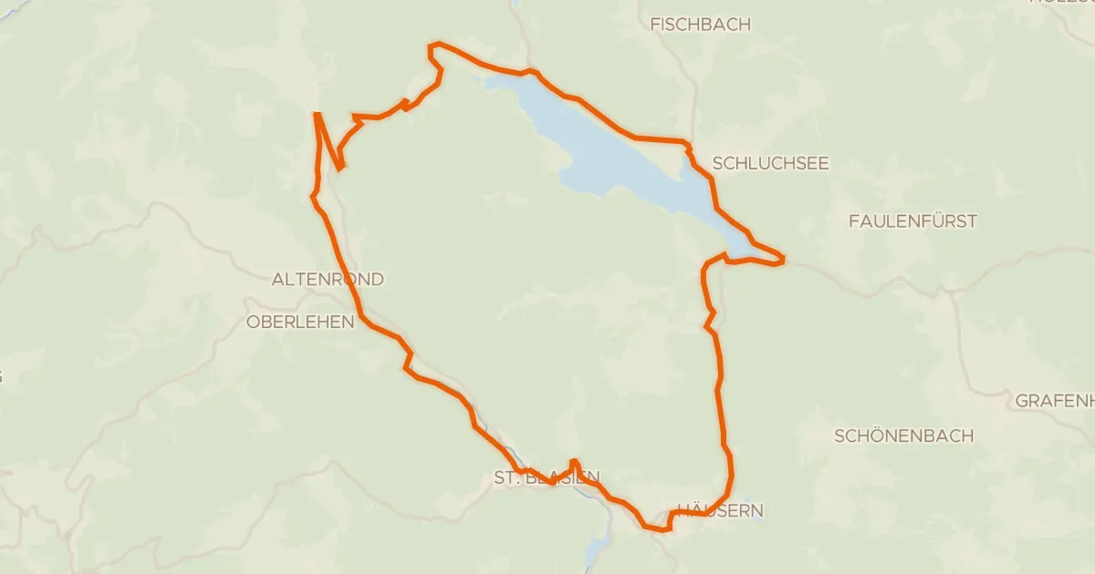
Touring75% paved
RouteWT 12 - St. Blasierland-Schluchsee-Tour
39 km↑ 772 m16 km away
Äulemer Kreuz
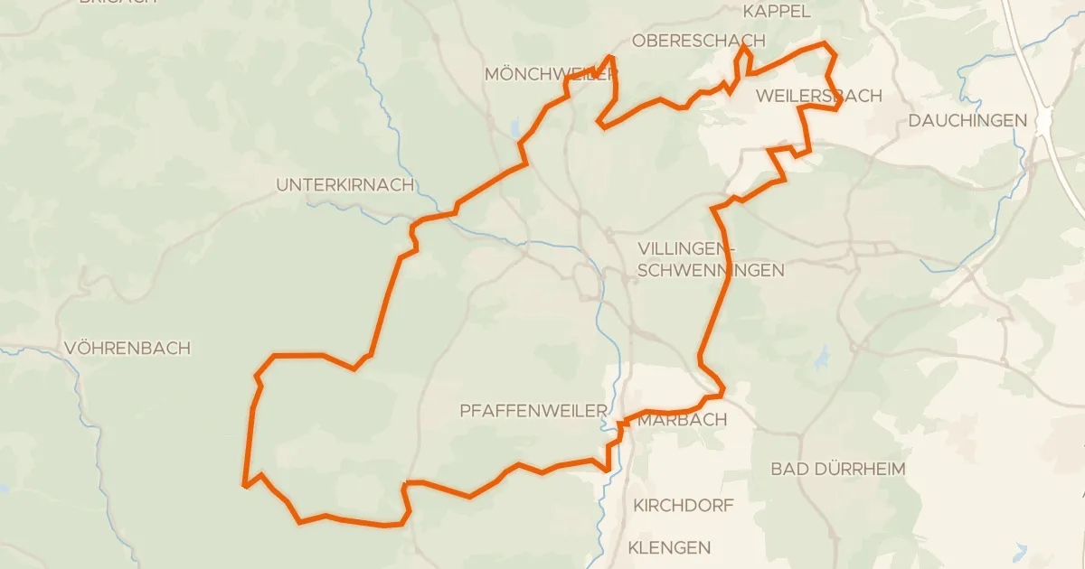
Gravel36% paved
Rondje Germanswald en Brigach
57 km↑ 796 m21 km away
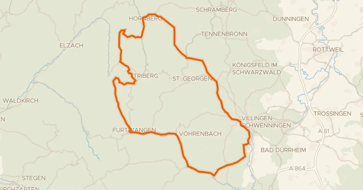
Road bike97% paved
Rondje Ruine Zindelstein en Rohrhardsberg - Obere Elz
97 km↑ 1,676 m21 km away
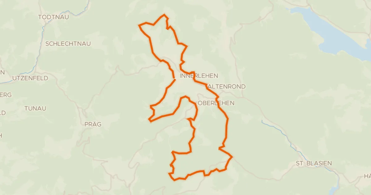
Gravel22% paved
enjoy&bike Bernau
36 km↑ 995 m21 km away
Road bike99% paved
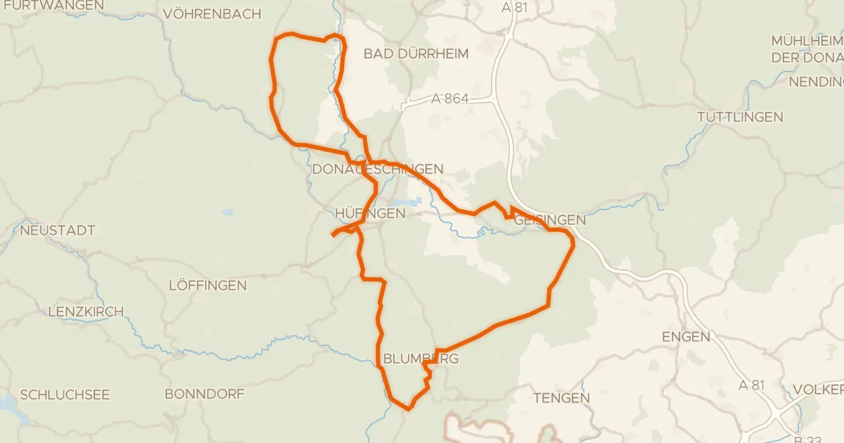
Rondje Wutachflühen en Wutach
90 km↑ 1,103 m21 km away
Touring88% paved
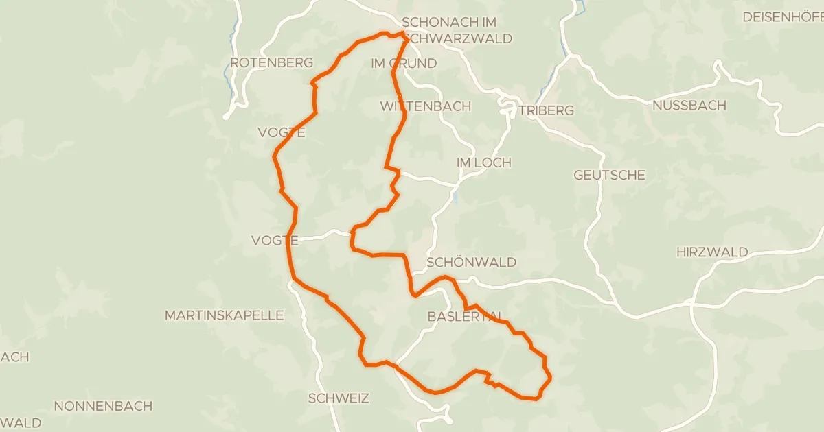
RP17 Hochtal-Route
23 km↑ 538 m22 km away
Passhöhe Escheck