Back to the librarykm 0–1km 2–5km 10–12km 13–14km 22–23
TouringRound trip
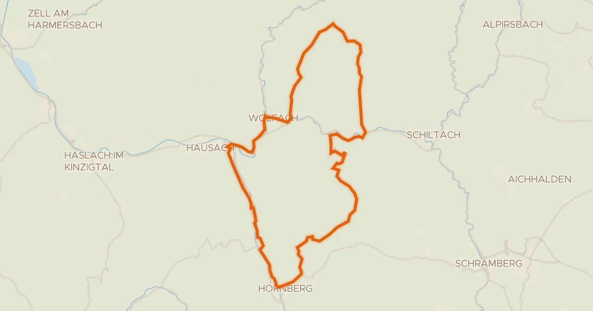
RP17 Hochtal-Route
Distance
23 km
Ascent
538 m
Highest point
1,082 m
88% paved
Start from your location
Ride there from home: we find the shortest way to the loop and start the loop from there.
The ride
Ready for a 23.2 km ride with 538 m of climbing? Most of the route is paved at 88%, while 12% runs unpaved. Along the way you'll pass Passhöhe Escheck. Enjoy the mix of surfaces and the steady elevation.
Passes
Passhöhe Escheck
Climbs
Climb 1Hill
0.4 km at 10.8% · max 12.8%
Climb 2Cat. 4
2.7 km at 3.8% · max 13.1%
Climb 3Hill
2 km at 3.4% · max 14.1%
Climb 4Hill
1 km at 3.2% · max 6.7%
Climb 5Cat. 4
1.3 km at 9.3% · max 17.6%
Routes nearby
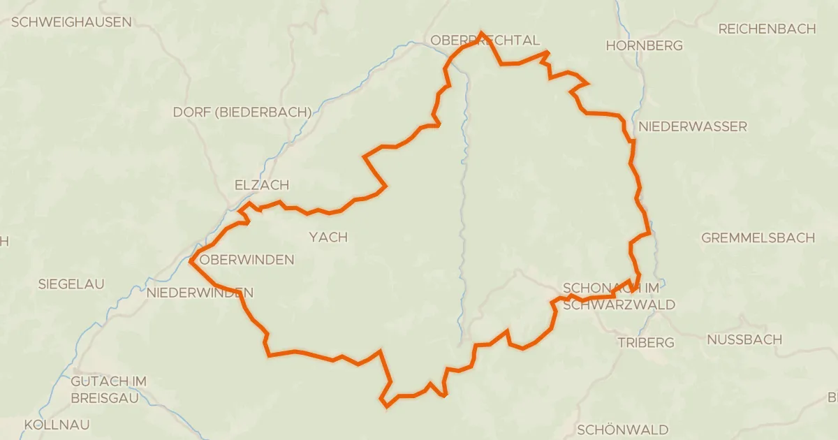
Gravel12% paved
Rondje Huberfelsen en Blindensee
62 km↑ 2,572 m6 km away
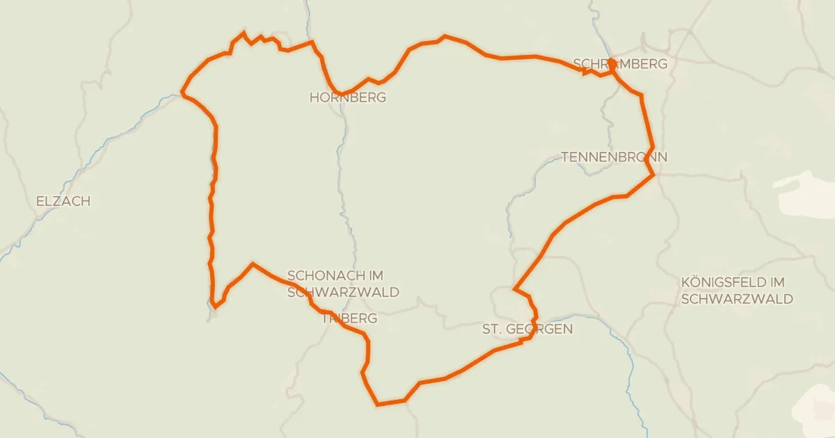
Road bike98% paved
Rondje Hohenschramberg en Brigach
75 km↑ 1,964 m7 km away
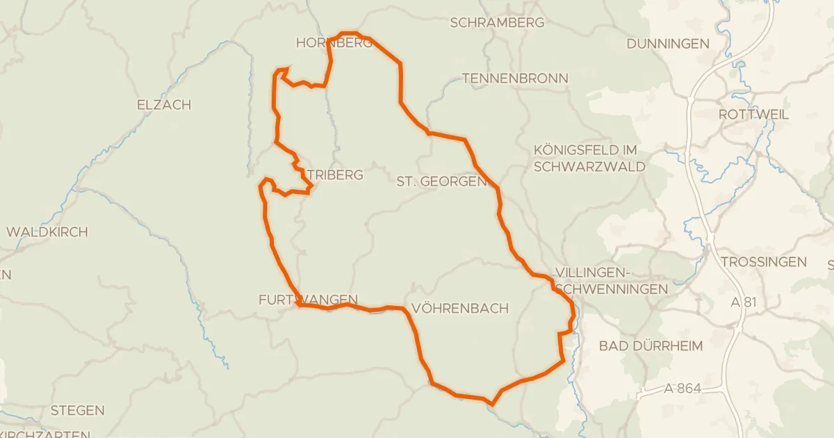
Road bike97% paved
Rondje Ruine Zindelstein en Rohrhardsberg - Obere Elz
97 km↑ 1,676 m9 km away
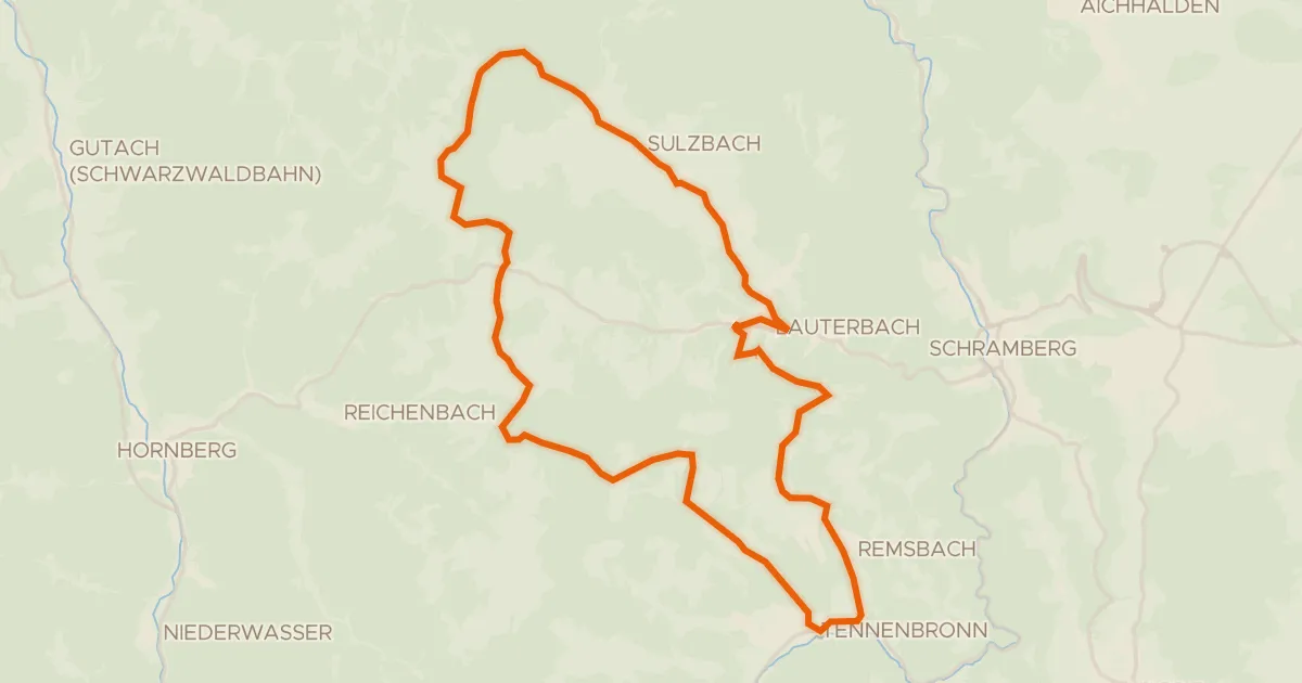
Touring93% paved
RP11 Auf den Fohrenbühl
27 km↑ 651 m14 km away
Road bike100% paved
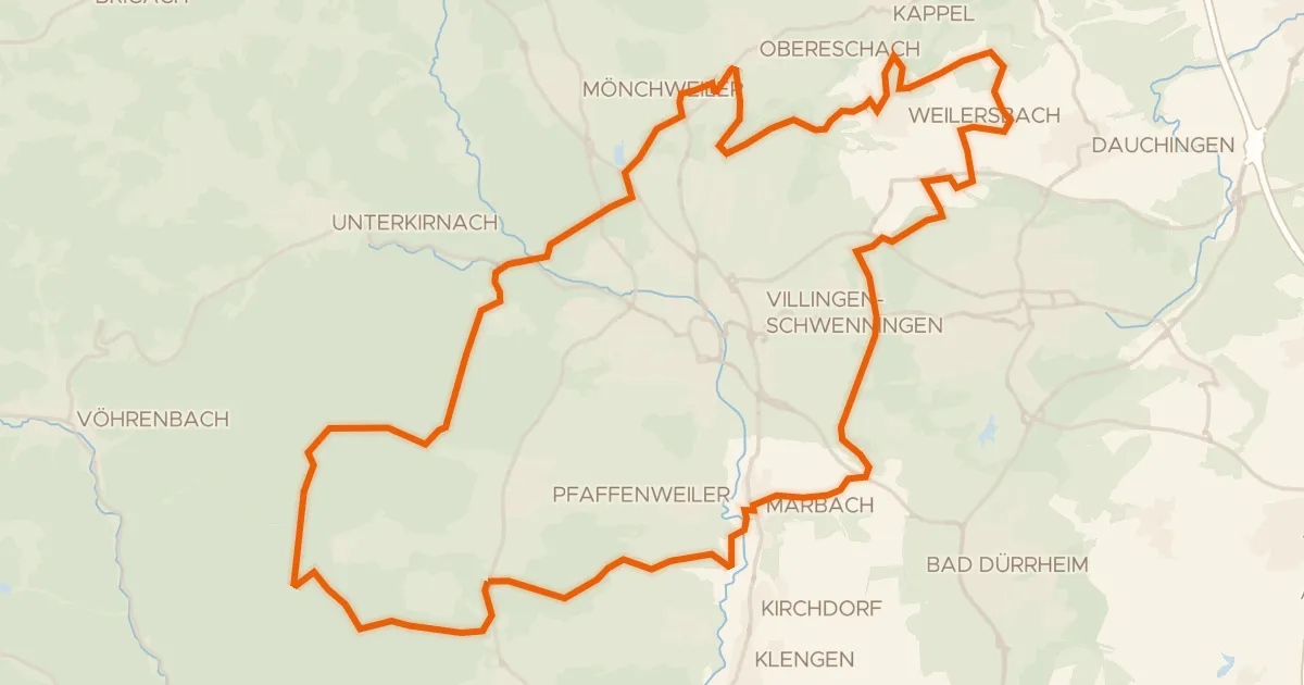
TeufelsteinTour
49 km↑ 1,265 m17 km away
Gravel36% paved
Rondje Germanswald en Brigach
57 km↑ 796 m20 km away