Back to the librarykm 0–2km 3–10km 11–11km 12–13km 18–21km 23–24km 26–26km 29–30km 30–31km 32–34km 35–36km 36–37km 39–42km 44–44km 45–49km 54–56
GravelRouteCasterRound trip
Rondje Huberfelsen en Blindensee
Distance
62 km
Ascent
2,572 m
Highest point
1,149 m
12% paved
Start from your location
Ride there from home: we find the shortest way to the loop and start the loop from there.
The ride
Roll out of Oberwinden and the road soon turns mostly unpaved, so the 61.9 km loop keeps you on the rough stuff. You pass the Yacher Zinken nature reserve, climb on to the Huberfelsen viewpoint, then roll by the Blindensee nature reserve. Next comes the Rohrhardsberg - Obere Elz nature reserve and the Kostgefäll nature reserve before the route brings you back to Oberwinden.
Climbs
Climb 1Hill
2.1 km at 3.3% · max 36.9%
Climb 2Cat. 2
7.1 km at 7.9% · max 51.4%
Climb 3Hill
0.5 km at 6.9% · max 11.9%
Climb 4Cat. 3
1.7 km at 11.3% · max 29.4%
Climb 5Cat. 3
3.4 km at 8.2% · max 26.8%
Climb 6Hill
0.9 km at 5.1% · max 11.3%
Climb 7Hill
0.3 km at 11.4% · max 25.7%
Climb 8Hill
0.8 km at 4.4% · max 10.7%
Climb 9Hill
0.9 km at 8.4% · max 24.1%
Climb 10Cat. 3
2.6 km at 11.3% · max 38.6%
Climb 11Cat. 4
0.8 km at 17.2% · max 36.1%
Climb 12Cat. 4
1.2 km at 9.2% · max 24.5%
Climb 13Cat. 3
3.1 km at 5.9% · max 16.5%
Climb 14Hill
0.5 km at 6.5% · max 12.6%
Climb 15Cat. 3
3.7 km at 6% · max 22.8%
Climb 16Hill
1.4 km at 5% · max 15%
Routes nearby
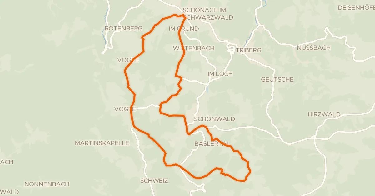
Touring88% paved
RP17 Hochtal-Route
23 km↑ 538 m12 km away
Passhöhe Escheck
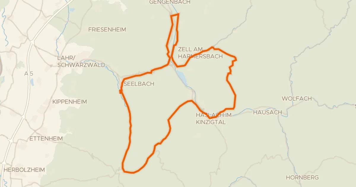
Road bike100% paved
Rondje Schloss Dautenstein en Hoher Geisberg
73 km↑ 1,293 m17 km away
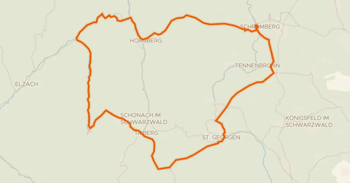
Road bike98% paved
Rondje Hohenschramberg en Brigach
75 km↑ 1,964 m17 km away
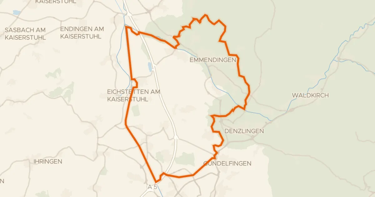
Gravel30% paved
Rondje Burg Landeck en Dreisam
57 km↑ 497 m18 km away
Road bike99% paved
MareileTour
47 km↑ 916 m20 km away
Road bike100% paved
TeufelsteinTour
49 km↑ 1,265 m20 km away